Days 71-93. Goodbye California, Hello Oregon. Miles 1153 to 1719.
It felt fantastic to be back on trail, especially given the trails around Castle Peak, north of Truckee, were so familiar. Even the overcast day which turned into a snow/hail/foggy day couldn’t diminish the elation of a pain free foot and the miles flying by. The day however was somewhat tinged with the knowledge that I wouldn’t have the opportunity to run or ski in this area with the ease of access I’d enjoyed over the last few years.
As the snow falls near Castle Peak
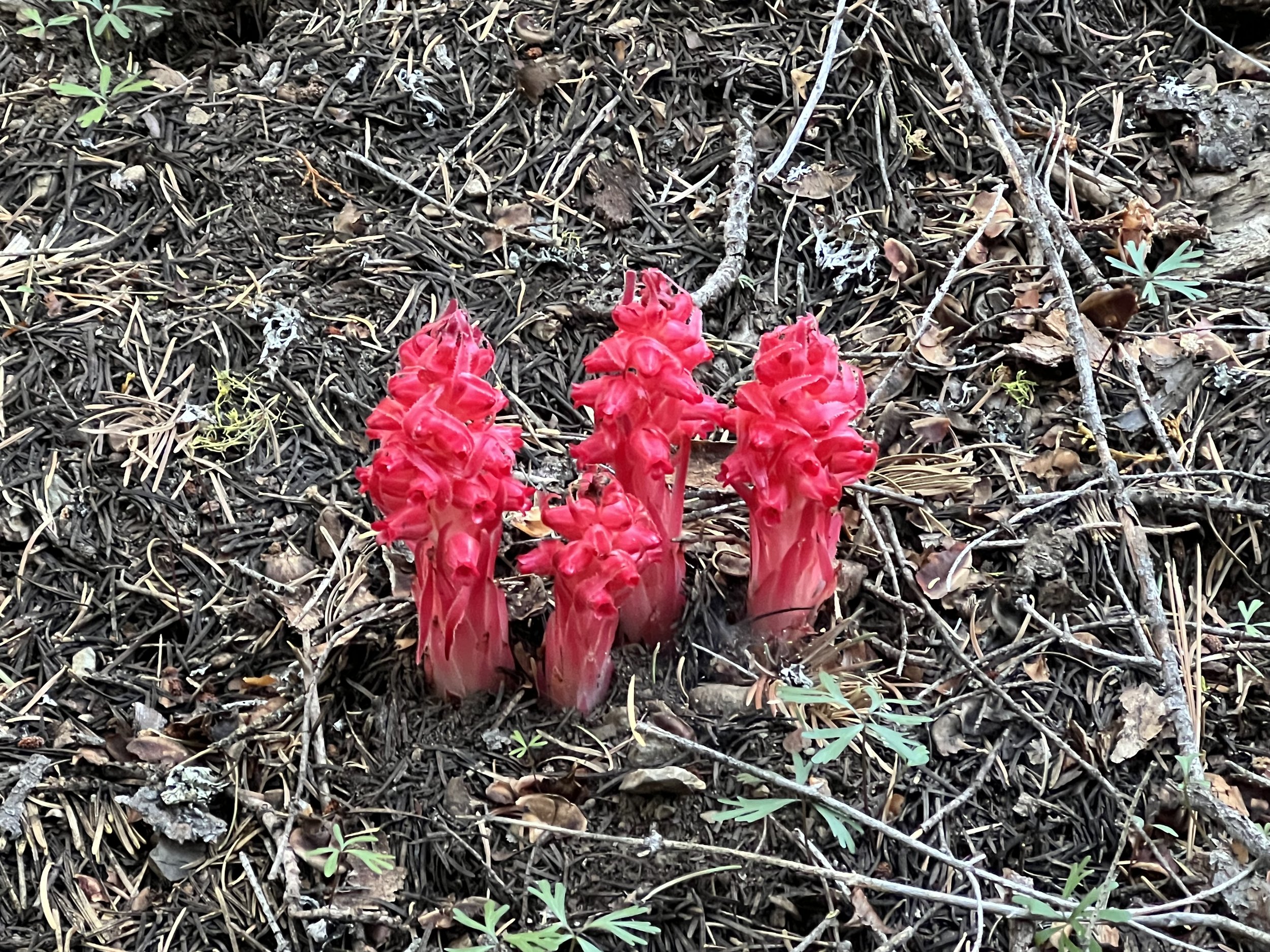
I was relieved there were just a few patches of snow lasting a few hundred meters, I’m sure the tendinitis in my foot was related to slipping and sliding over miles of snow. Scarlet red snow plant dotted the landscape showing the snow had only recently receded.
The falling snow eased before I camped and I awoke to an overcast but sunny day. My plan was to head into Sierra City (a small village with one shop and one cafe despite the name) for Sunday lunch. A few miles off trail but I’d made the decision to go into every town or store near trail to stock up on food and try and avoid the dramatic weight loss I’d experienced during the first part of the hike. A great high calorie lunch and some items added to my food supply and I was back in trail. The next 90 miles to Belden were a mix of green forest, rocky mountainside trails and areas of devastation from forest fires. Just as I was descending about 40 miles before Belden I had my most frightening experience on trail, a sudden rustling noise on the trail a few meters ahead and then a very loud hissing noise. I jumped backwards and saw it was coming from a large coiled snake with it’s tongue out and the hissing volume becoming more intense. I backed off but it continued hissing at me and remained coiled. With the trail blocked I dropped off the side away from the snake and circumnavigated it giving it a very wide birth. Wish I had a picture to share but at the time I wasn’t really focused on photography!
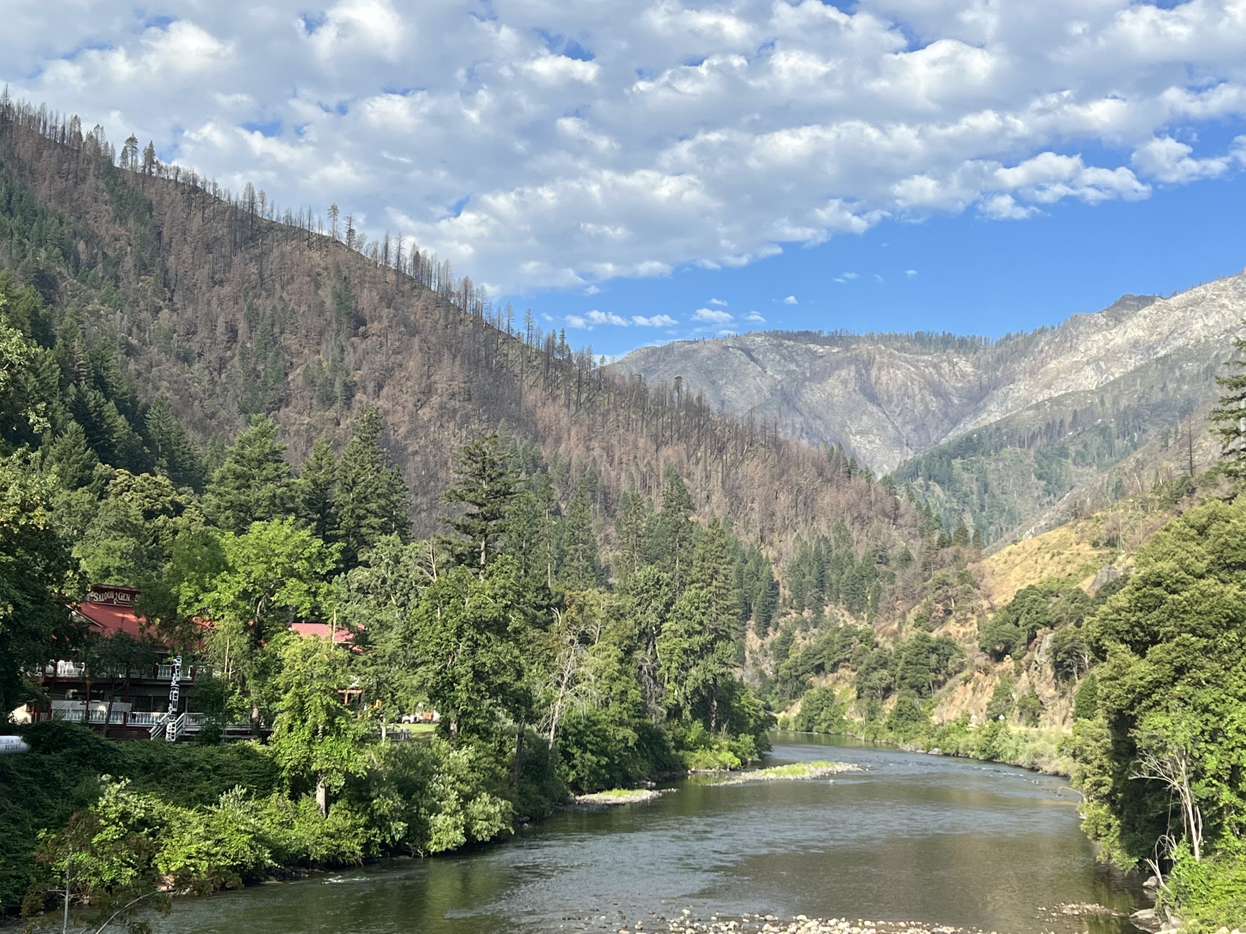
The 5000’ descent into Belden down numerous switchbacks was fast only slowed by the poison oak growing along the sides of the trail. Poison oak grows below around 4500/5000’ and is a shiny three leaf plant that often has a burnt red color. The oil on the leaves can trigger sensitivity reactions in many people and I know from prior experience I’d have a very bad rash and be itching for weeks if I brushed against the plant. At the foot of the descent was the North Fork of the Feather river and an RV park with motel rooms and cafe. I picked up a resupply box here, had dinner and treated myself to a motel room - more for the shower than anything else.
Motel on the banks of the Feather River hidden in the trees.
The climb out of Belden was nearly 6000’ over 14 miles on my hottest day on the trail this section. Knowing it was a long climb a slow steady pace and an occasional breeze made the 33C temperatures bearable. I got into camp late having covered over 25 miles and nearly 8000’ of climbing but my camping spot had great views of Lassen Peak in the far distance.
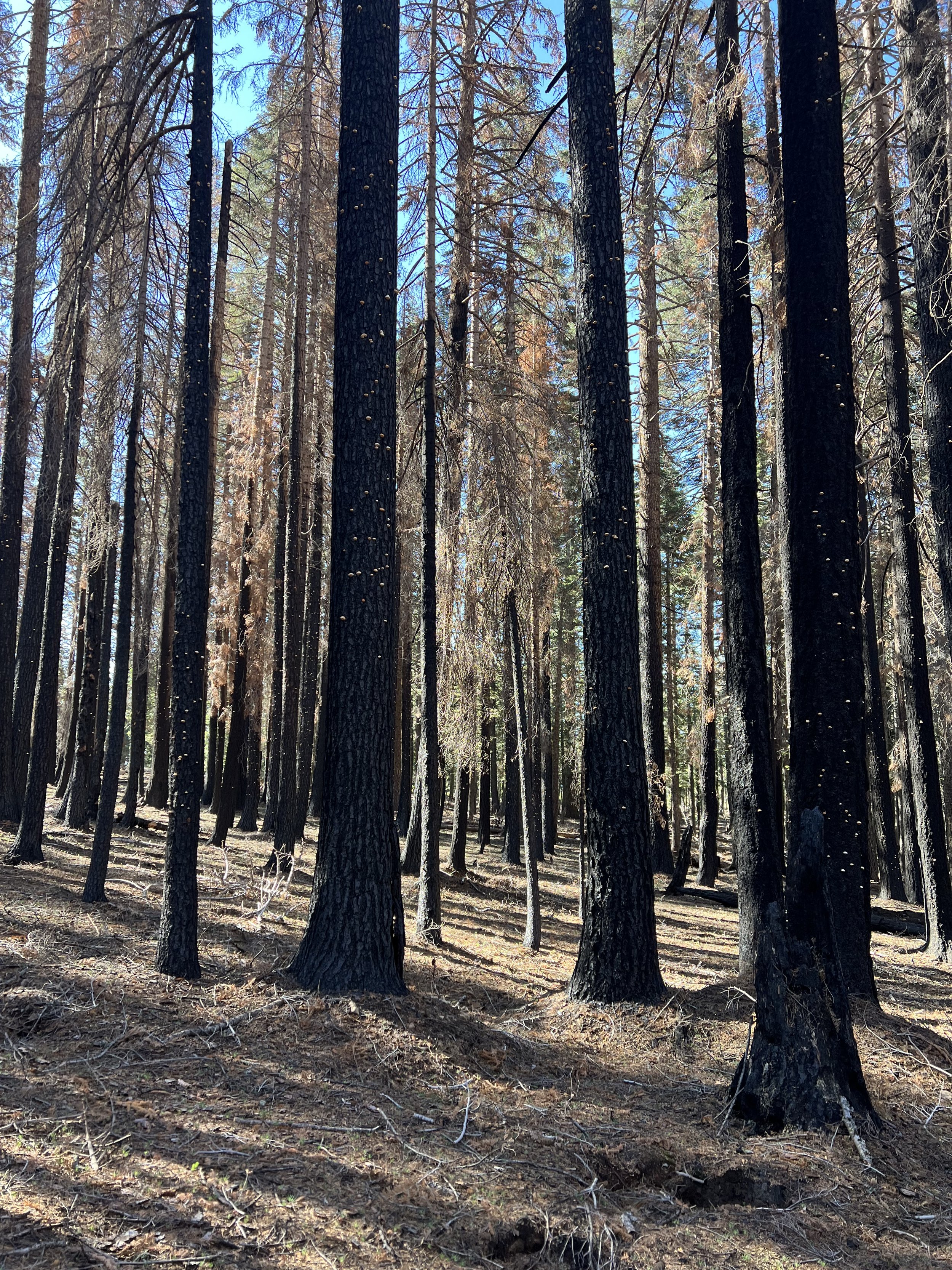
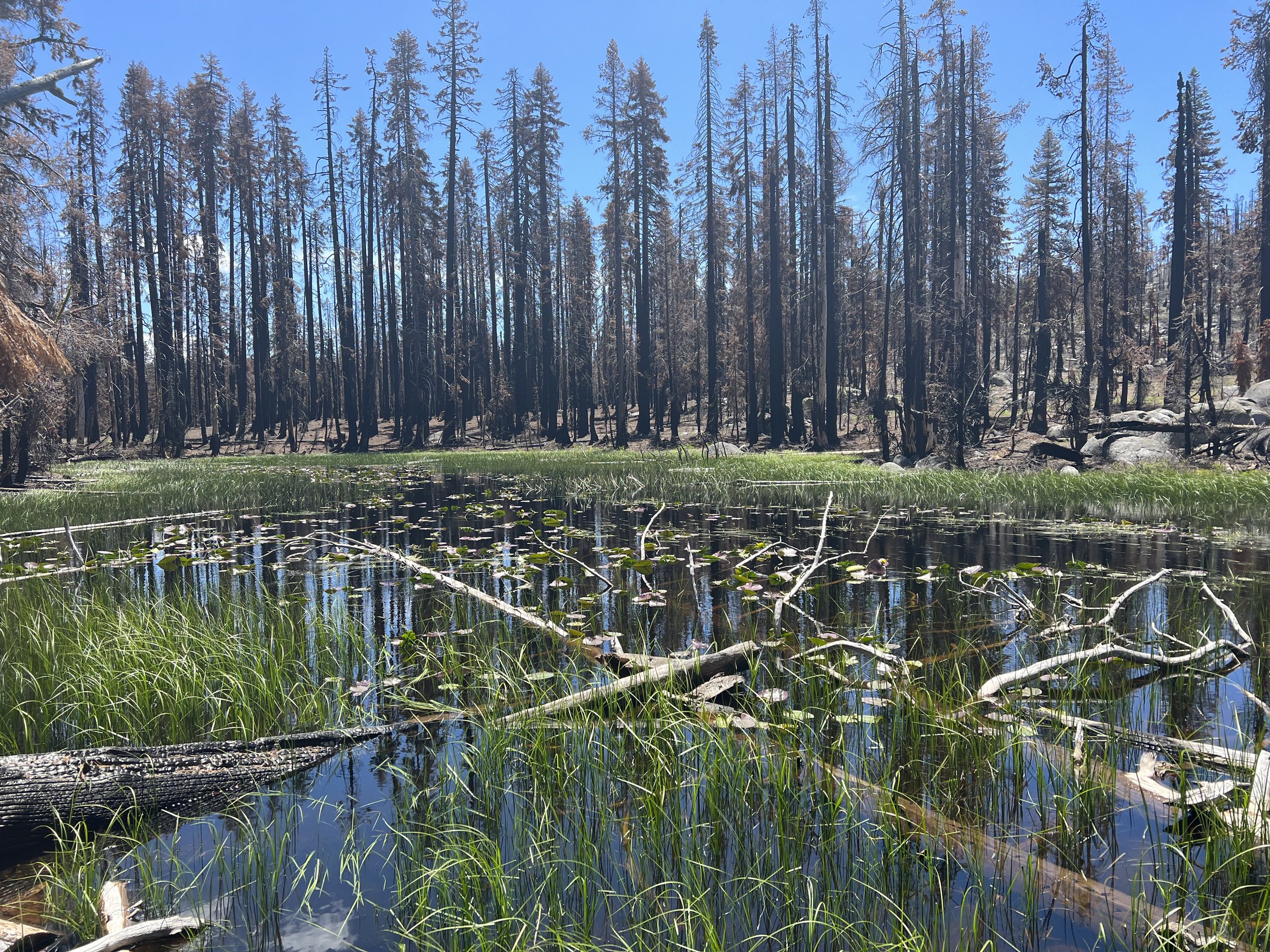
The next few days would be through a landscape devastated by the Dixie Fire in 2021. The largest single fire (as opposed to complexes of multiple fires) at nearly 1M acres (390,000 ha) in California history destroying multiple communities and claiming the lives of 3 firefighters. The burnt landscape, trees turned to charcoal and black dust gave an eery feeling but it was beautiful in its own way.
Part way through the devastated landscape I reached the half way point having walked 1325 miles of the PCT. The sign denoting the midpoint was a bit of a let down - a concrete post which had survived the fires, I’m guessing there use to be other signs here that where destroyed in the fire.
Crossing the midpoint seemed to give a big boost to my confidence that I was indeed walking from Mexico and could make it to Canada. I started thinking in terms of distance to go to Canada rather than just distance to the next resupply point or zero. A week or so later as weekend hikers started to appear on the trail over the July 4 holiday when they asked where I’d come from or where I was going I felt justified in saying from Mexico and to Canada, signaling I see myself now as a thru-hiker rather than somebody who is attempting a thru-hike. Having said that there’s still an awfully long way to go . . . .
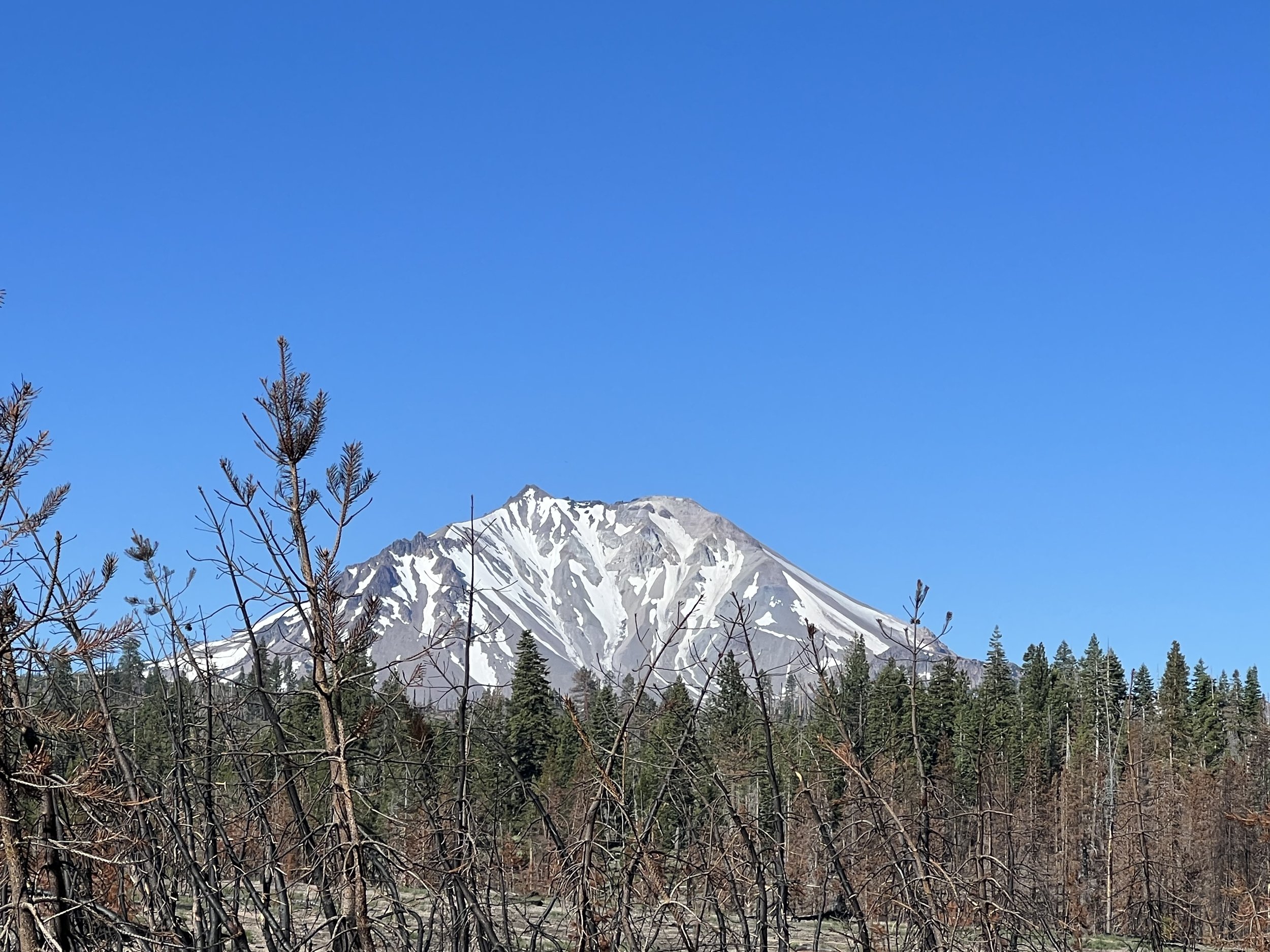
I’d caught glimpses of Lassen Peak on my first day out of Belden but it was to be ever present as I walked through the burnt Dixie fire zone, the snow capped peak a sharp contrast to the burnt out landscape.
Lassen Peak
Lassen Peak at 10,457’ is the southern most active volcano In the Cascade Range although it’s last eruption was in 1921. Which is I guess very recent in geological terms. The PCT passes through Lassen Volcanic National Park but doesn’t go over, or close to the Peak. I’d climbed and skied Lassen Peak one spring so didn’t feel too cheated that we didn’t ascend the mountain - in summer there’s a road open to the top which would somewhat diminish the experience anyway.
21 miles of the PCT passes through Lassen National Park and the rules state you have to have a bear canister to camp in the park. I’d stopped carrying mine many miles back so had to ensure I was through the park in a single day although given most of the park was cinder and ashes I doubt many bears would find much to eat in the park right now and are probably in the areas of green before/after the park where I was camping!
The blackened landscape was beautiful in it’s own way but I was pleased to encounter green forests, giving much needed shade. I was filthy, it was impossible not to kick up the black ash from the trail and come into contact with the fallen trees that were now charcoal as I clambered over them. The village of Old Station had an RV park 15 miles or so after Lassen which had showers and laundry and after an overnight stop I was clean and refreshed ready to head further north.
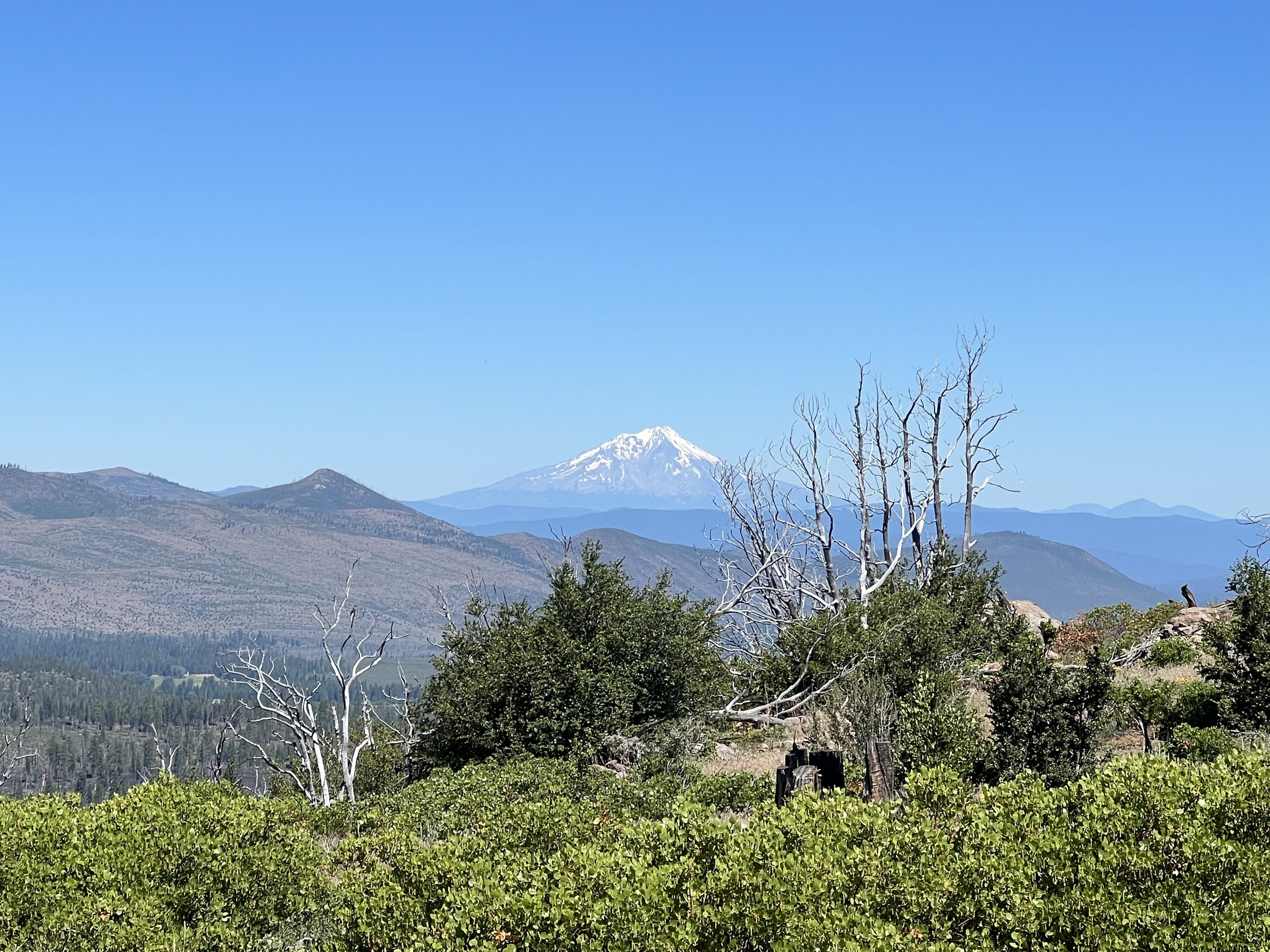
Climbing out of Old Station gave me my first view this trip of Mt Shasta. At 14,179’ Mt Shasta totally dominates the landscape and would be an ever present feature of my views for the next week or so. Last having erupted in 1250 it has four craters, the most prominent are Shasta itself and the smaller Shastina (12,330’) seen to the left of the main summit in most of my pictures. I’d attempted to climb and ski Shasta twice, the first time we weren’t able to summit due to wind but we were able to summit Shastina and I still remember the glorious ski down on spring corn. The second attempt was more successful with a summit of Shasta but a ski down on solid ice!
The next 100 miles or so to Burney Falls State Park passed quickly, beautiful forest and easy trails were a great contrast to the barren, burnt, Lassen Park. Burney Falls themselves were impressive and I went to the store there to collect my resupply - less impressive, prices double normal store prices and an insistence to give you multiple plastic bags even when you told them you didn’t want one - the state park hasn’t quite caught on the protecting the environment!
Burney Falls
A steep climb out of Burney Falls after crossing the Lake Britton Dam. With construction going on to restore the dam we were escorted across by one of the workmen who gave a history of the dam and the natural history of the Pit River. The steep climb gave way to rolling hills with plenty of creeks and springs to ensure hydration on days where temperatures were in the 30’s(C).
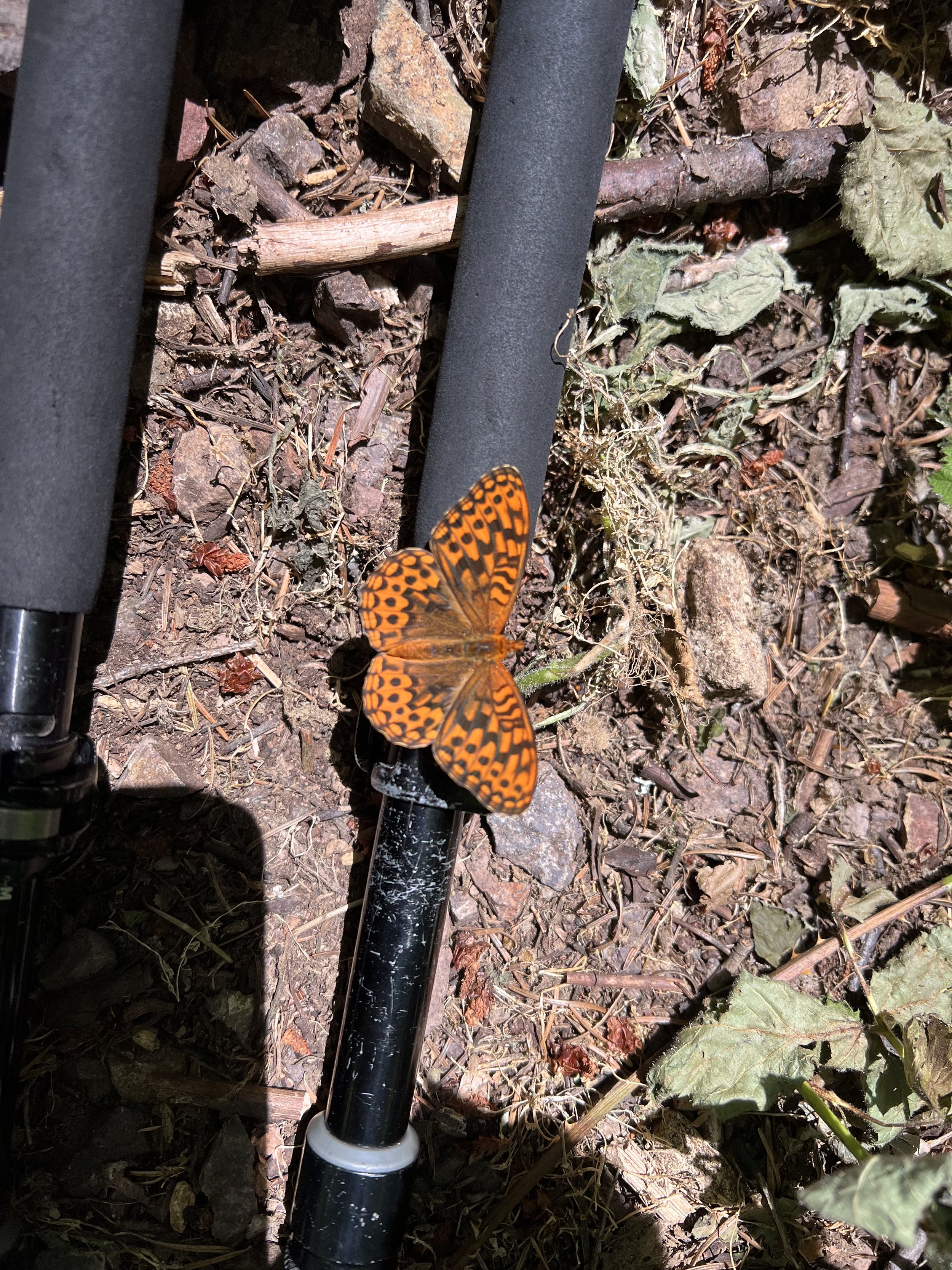
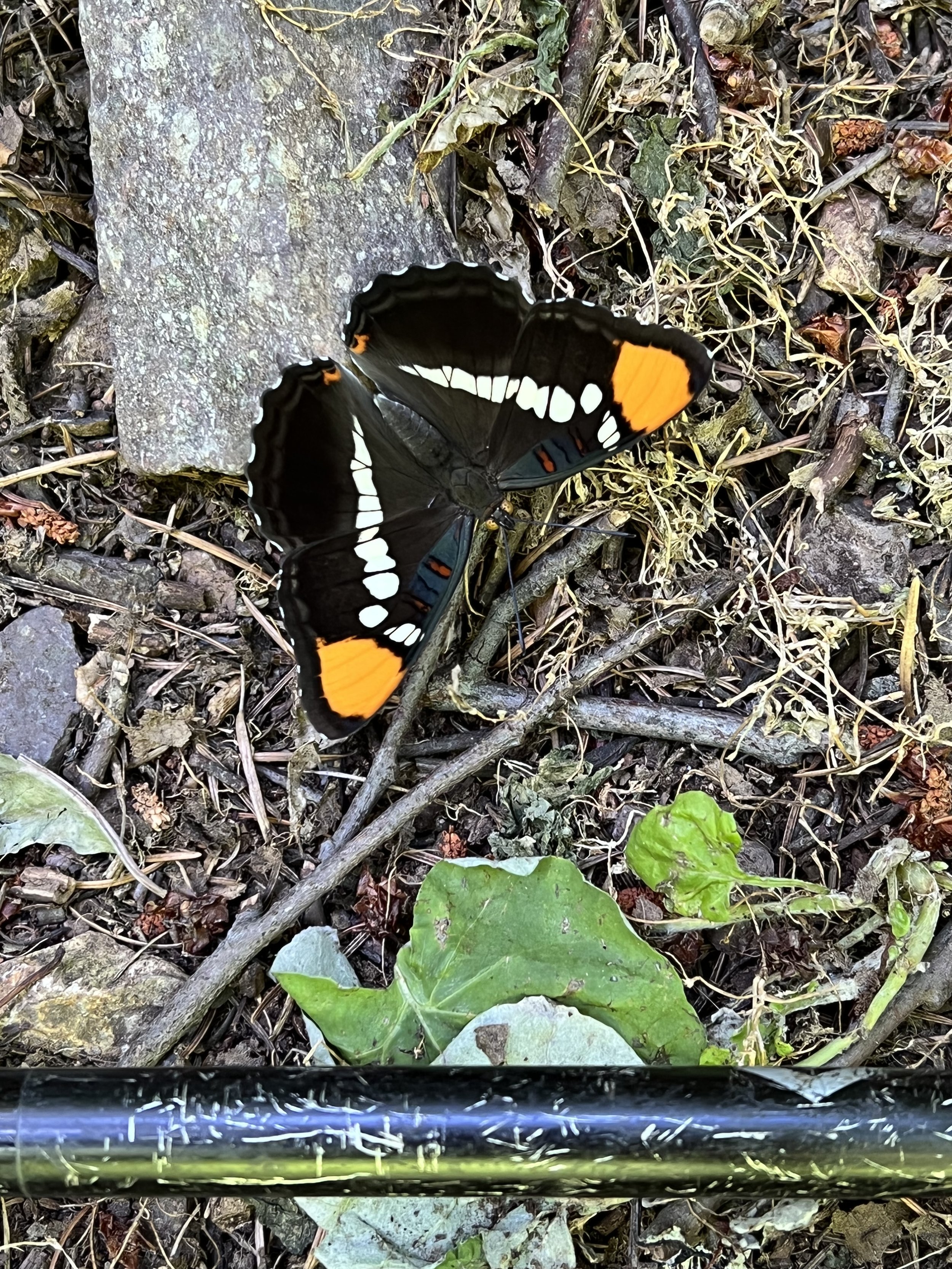
One of the creeks I stopped at to filter water and eat lunch was alive with butterflies. They didn’t seem to care I was there and for some reason were attracted to me, my pack and my trekking poles, maybe because of the salt?
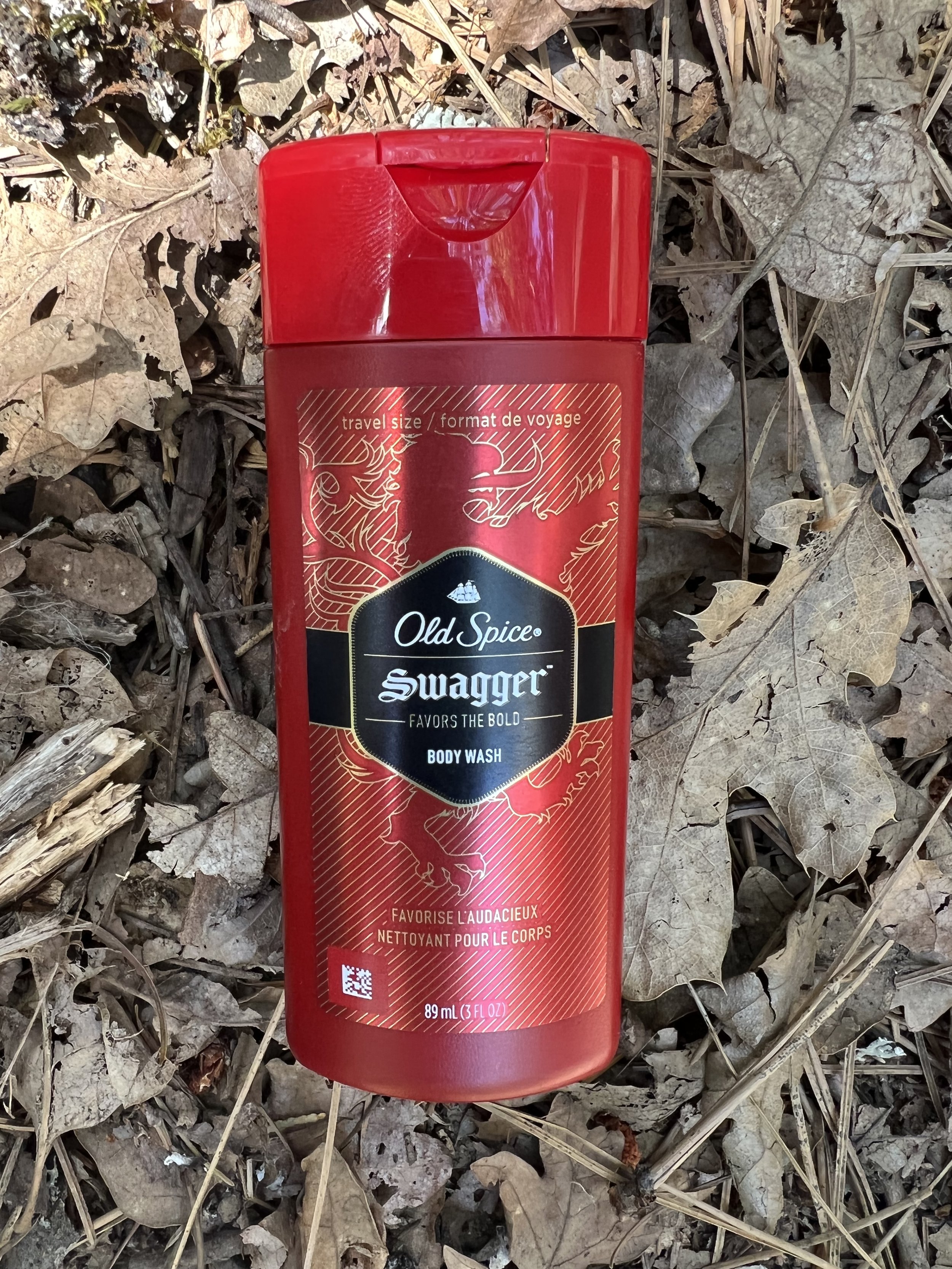
Mile 1500, with Shasta still in the distance but getting ever closer, brought me to the small village of Castella where I picked up a resupply package and camped overnight in Castle Craggs State Park - a beautiful campsite with free showers. I left early the next morning smelling gorgeous. The only body wash the local store/gas station had was Old Spice Swagger ‘favors the bold’ so I had no choice. I’d washed my hiking clothes in the shower so not only did I stink of Swagger so did my clothes - and it lingered for days although the number of mosquitos around me did seem to reduce dramatically!
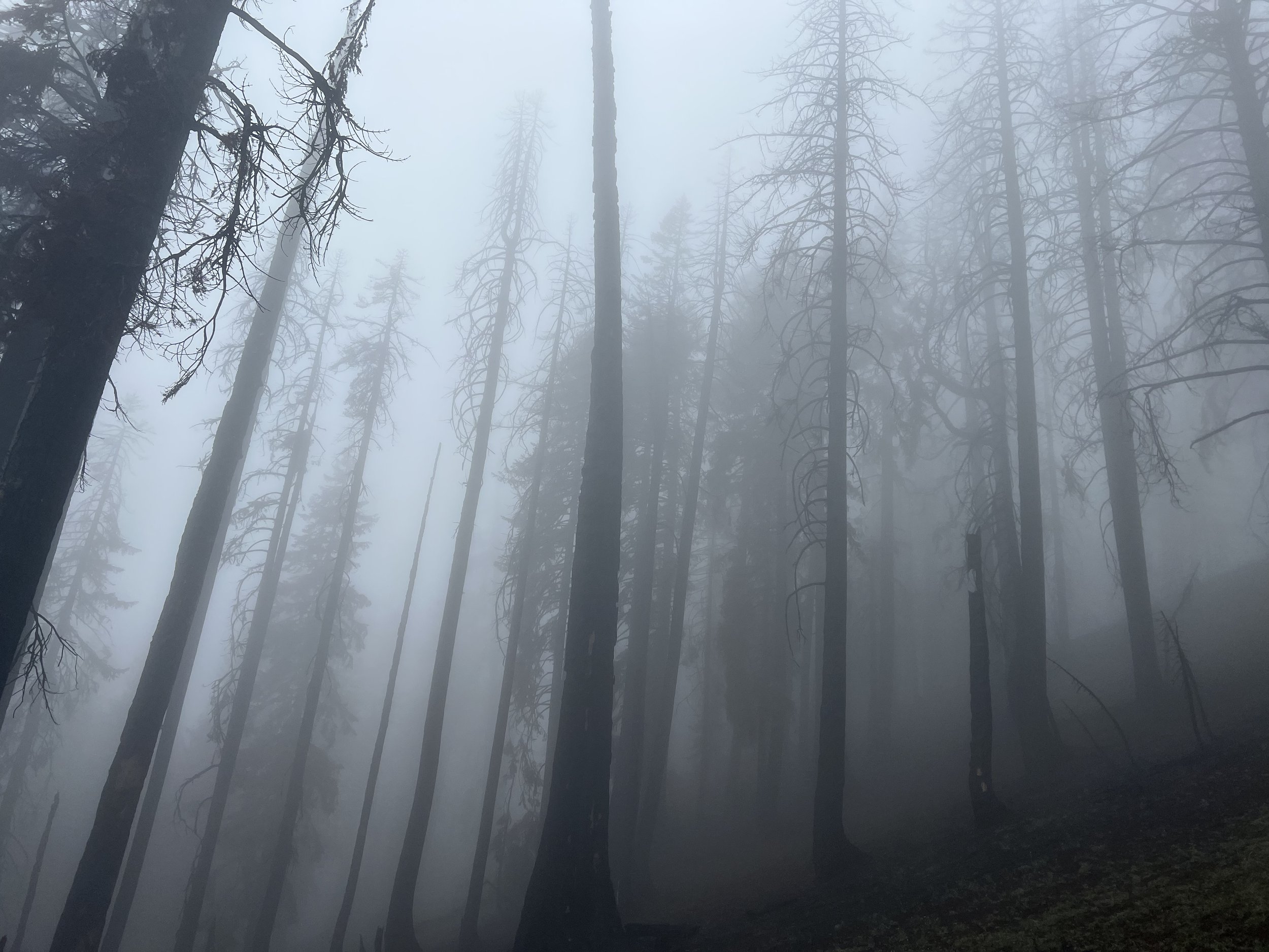
Soon after leaving Castella the weather broke, two days or rain then a couple of days of damp misty days. Difficult to dry anything but fortunately my tent and sleeping quilt performed great and although damp I was never uncomfortable and the contrast to the hot dry days gave a different perspective and feel to the mountains.
Descending into Seiad Valley the clouds cleared and we passed another major milestone, mile 1653 which meant less than 1000 miles to the Canadian border. Siead Valley on the Klamath River has a store, RV park and cafe. I knew the cafe closed at 2pm and knew I wouldn’t make it in time so just enjoyed the sunny weather and beautiful landscape. I was a little quicker than anticipated and rolled up at the store at 2.30. The cafe owner came rushing out to say they were closed but they’d make me food if I wanted something. So happy for some hot food and such great people
Siead Valley calls itself part of ‘the State of Jefferson’ a proposal by some northern Californian and southern Oregon rural communities to break away and create their own state. The signs and flags were prominent around the village as were the Trump 2020 signs still being displayed!
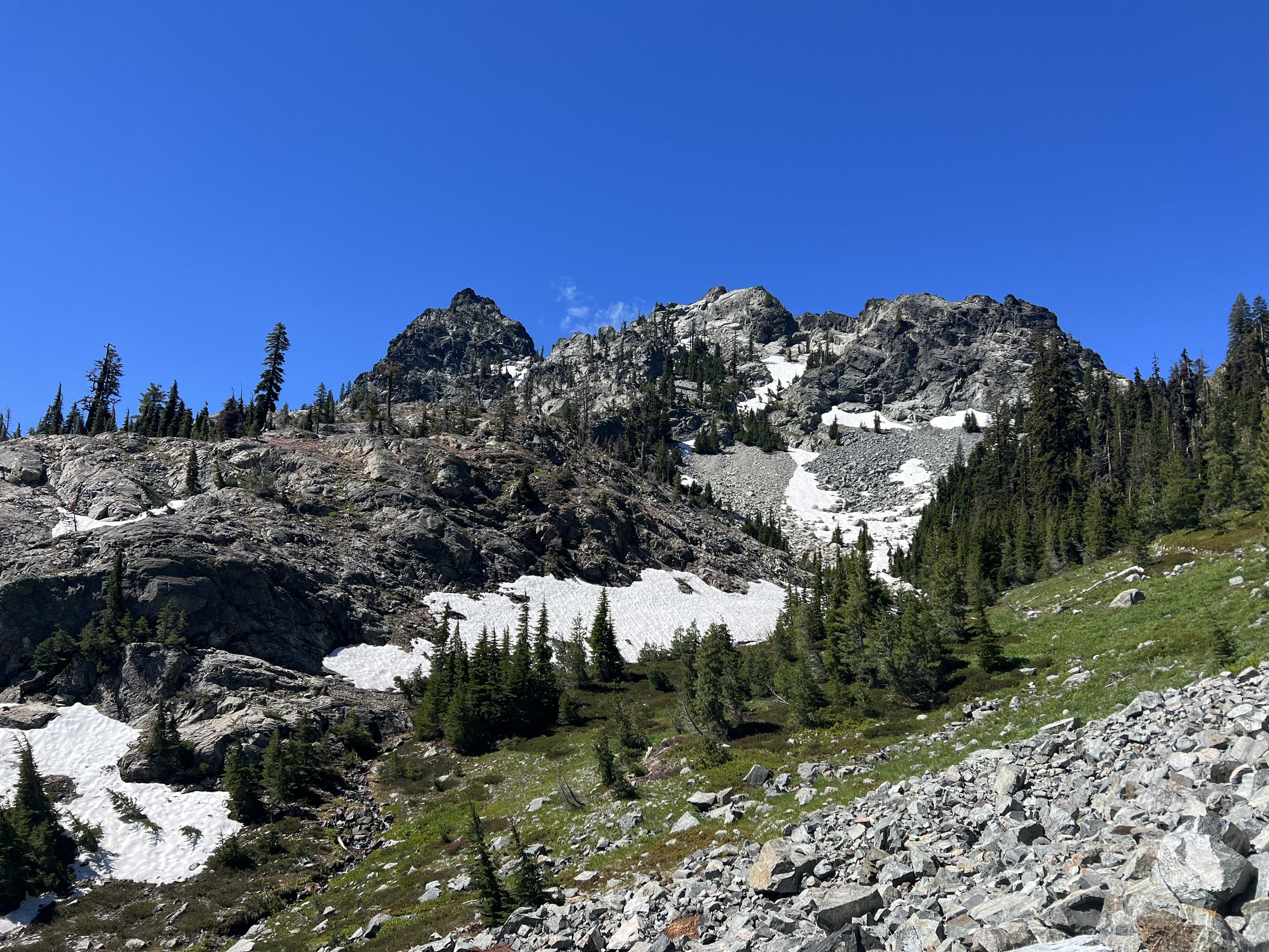
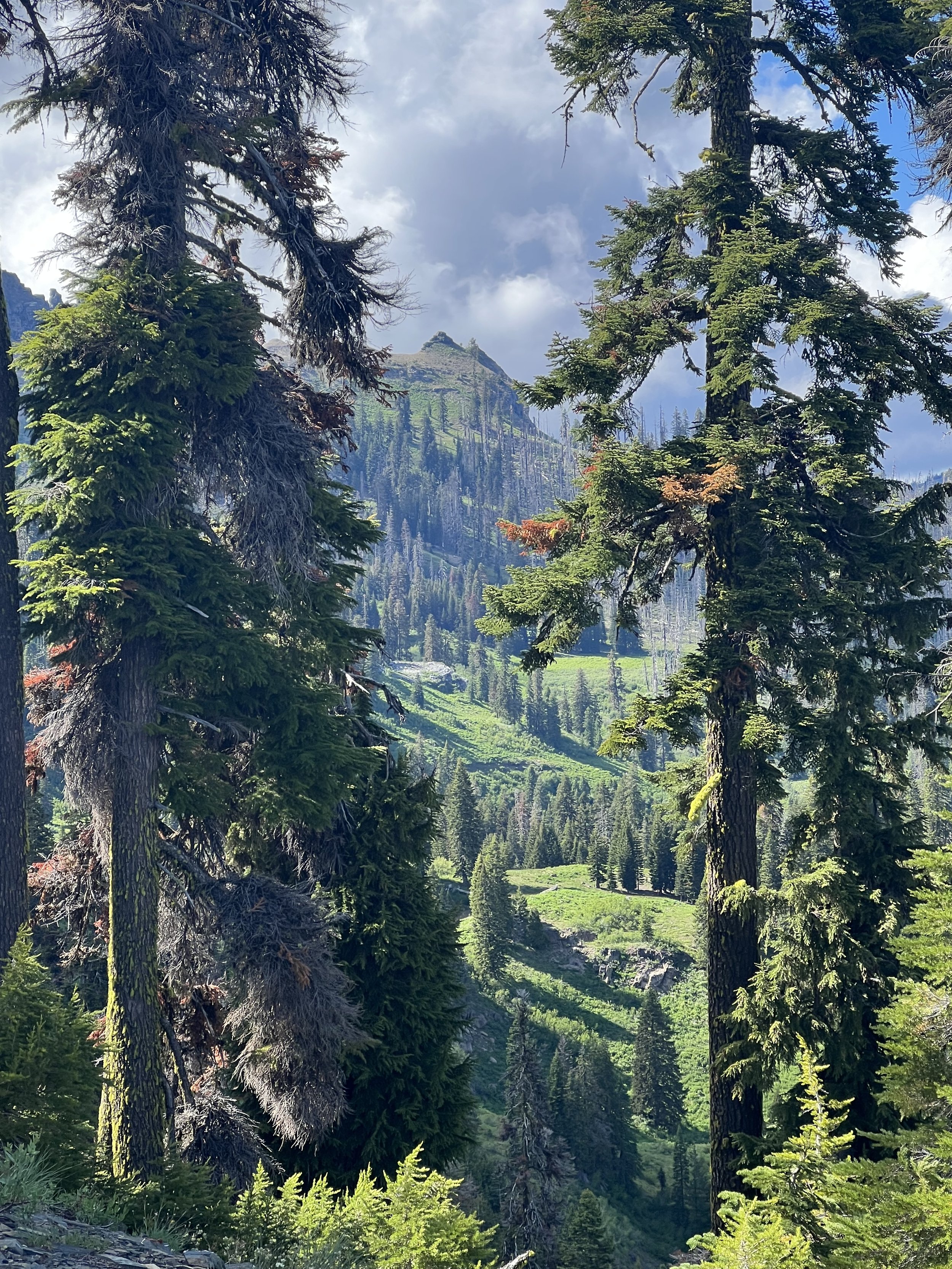
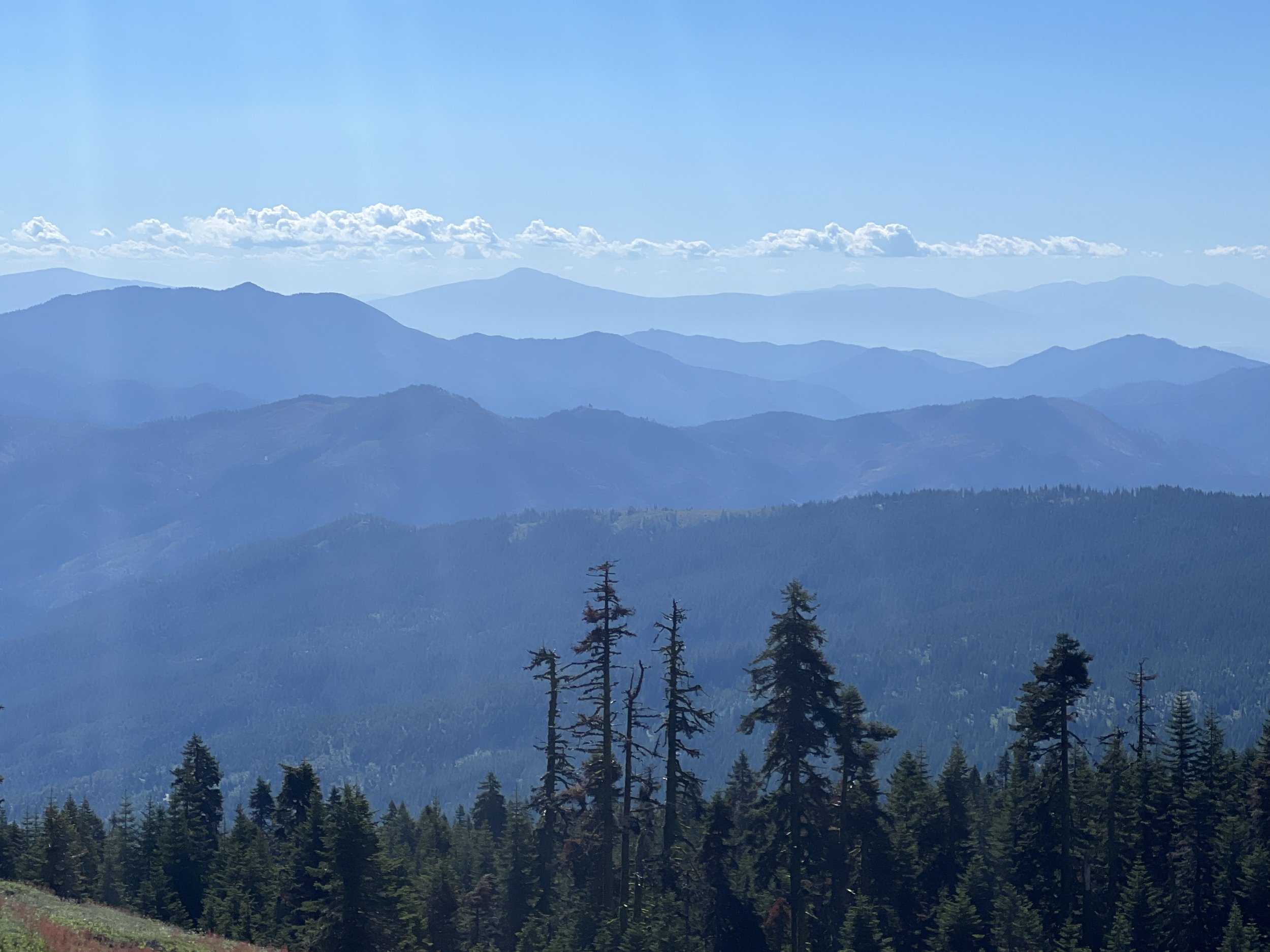
Northern California has a reputation as being one of the most boring sections of the PCT. I couldn’t agree with that, the Trinity Alps and Cascade Ranges were dramatic with ridge top trails, amazing views and forest interspersed with green meadows.
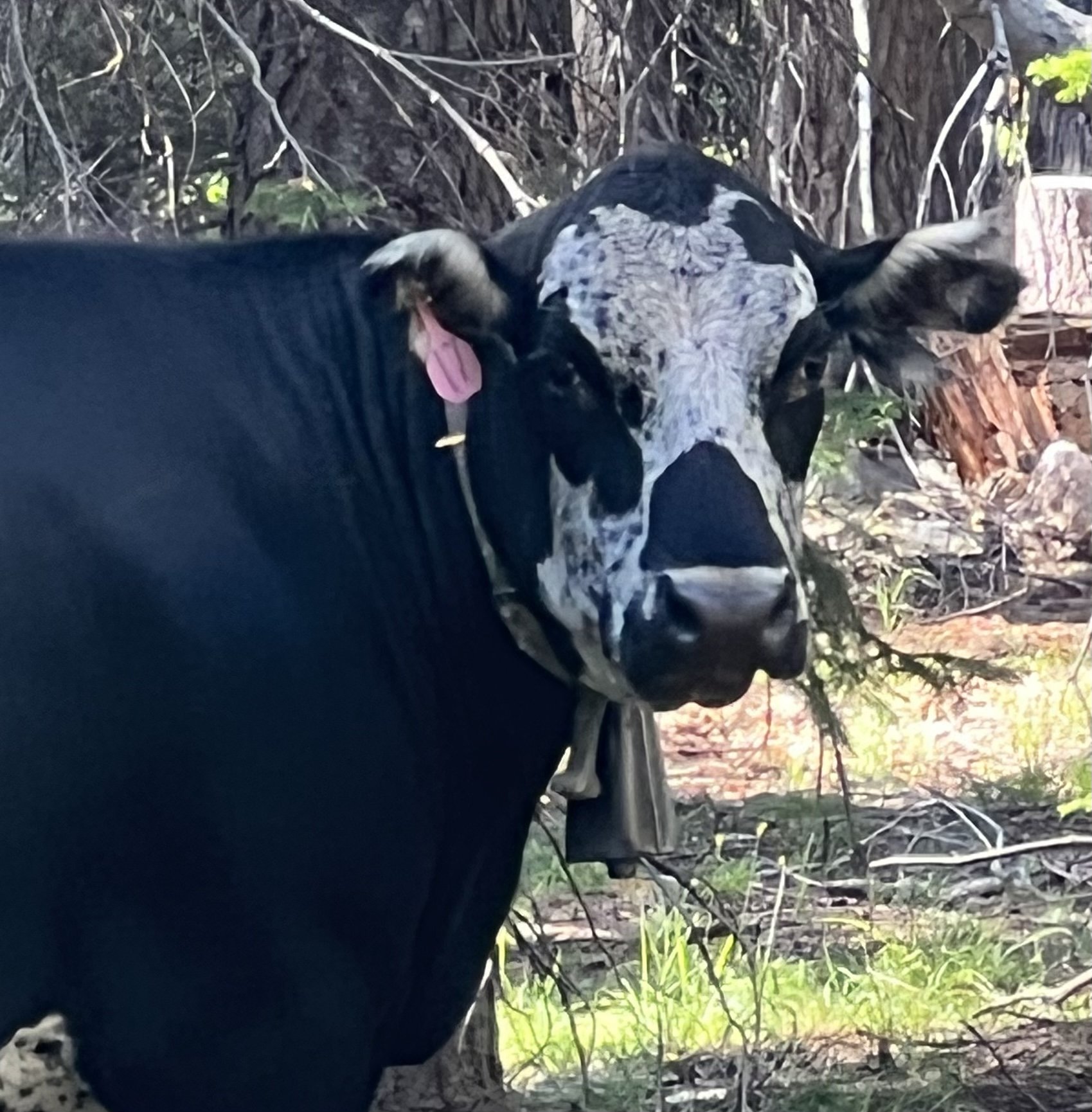
At times the landscape has reminded me of Switzerland and I felt even more convinced when I started to hear cowbells and see cows roaming the hillside.
Two more major milestones were to pass in quick succession, crossing over the border from California into Oregon signifying 1694 miles covered and 958 miles to Canada, and then July 10 which marked my 3 month anniversary of starting the PCT. Celebrating with my first zero since Truckee 562 miles ago, a nice hotel, great town food and a nice glass of Oregon Merlot.
The last 3 months have been amazing, I’ve enjoyed the experience way more than I expected and I had pretty high expectations. I can’t wait to get back on traiL tomorrow heading towards Crater Lake and onwards to Washington state.
Thank you for reading and apologies for the long gap between posts. I really need a zero with good WiFi to be able to update the blog.
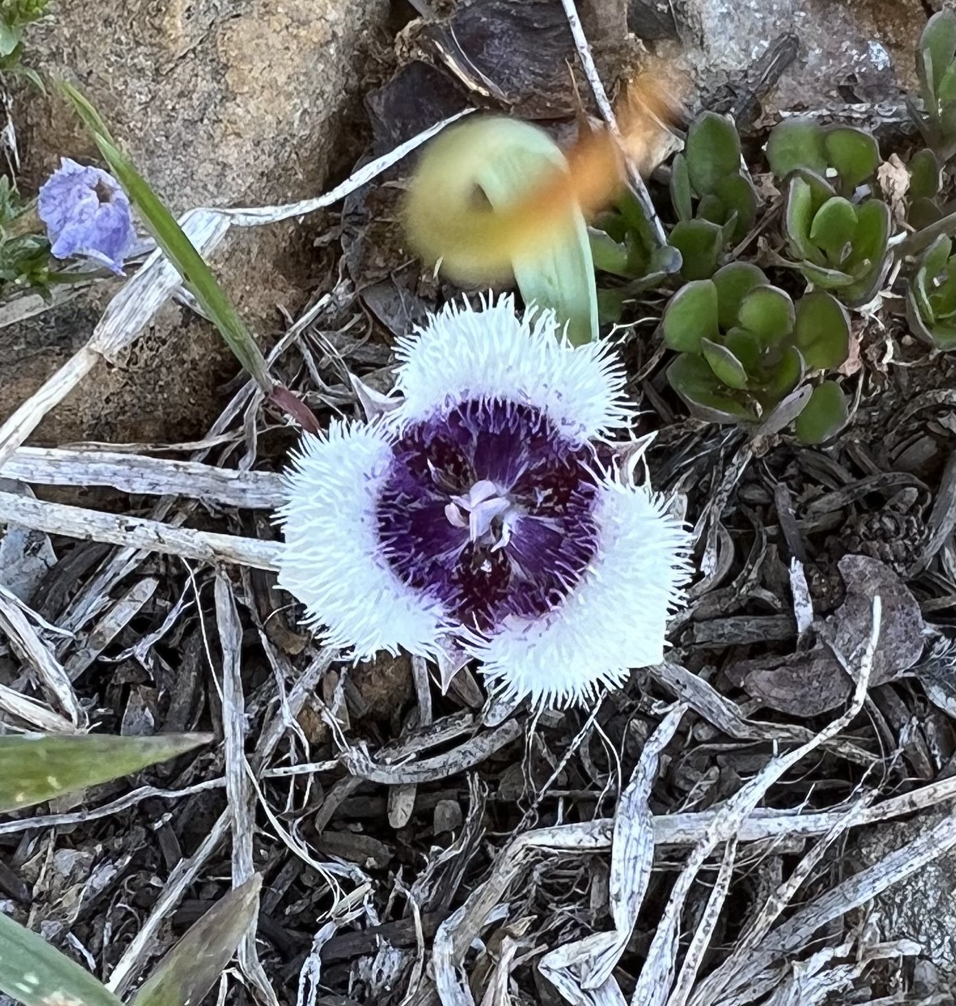
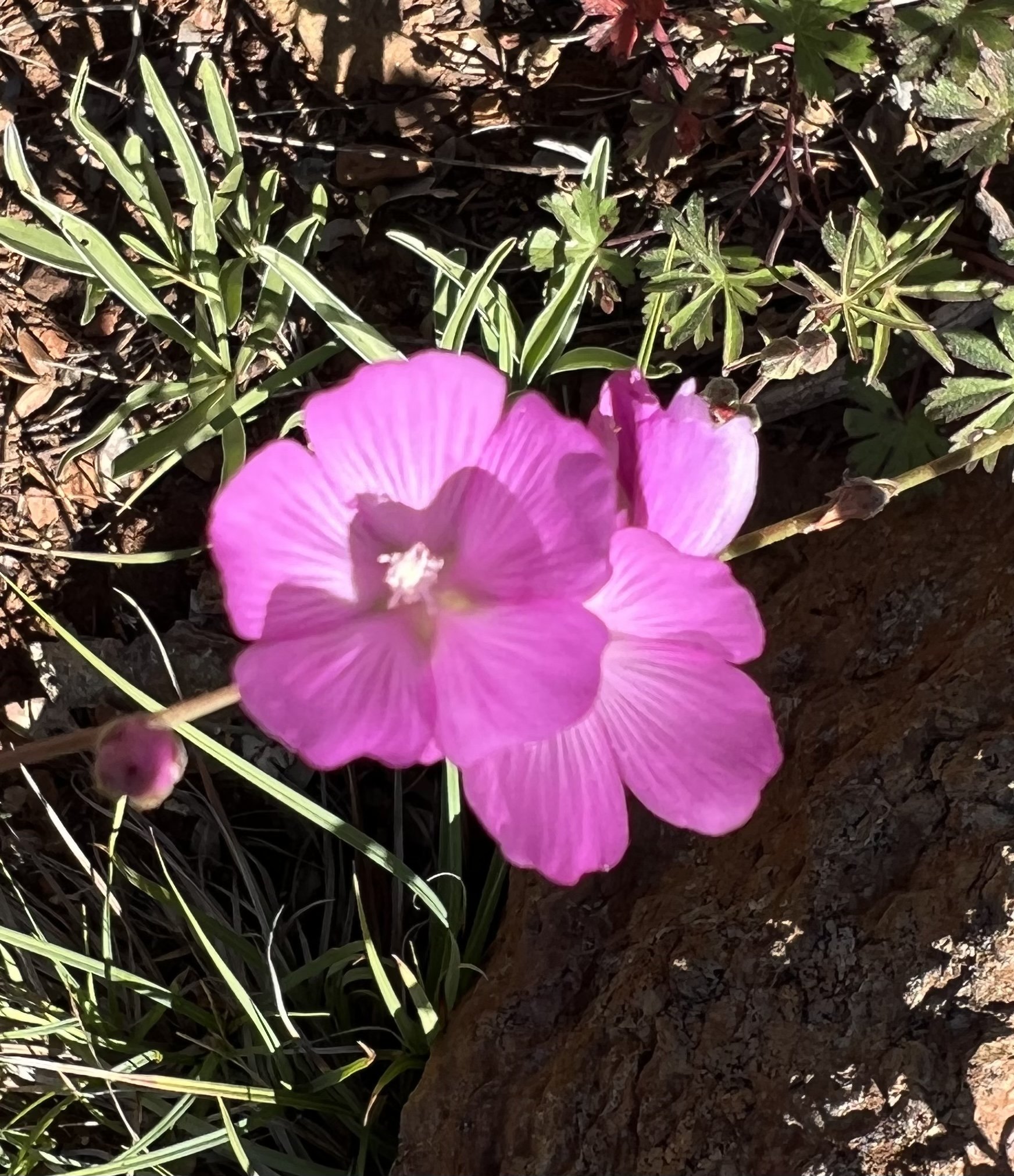
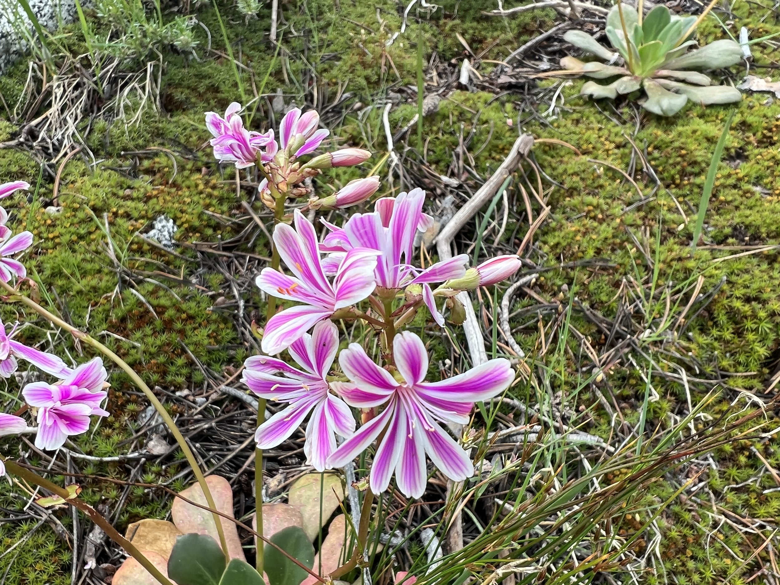
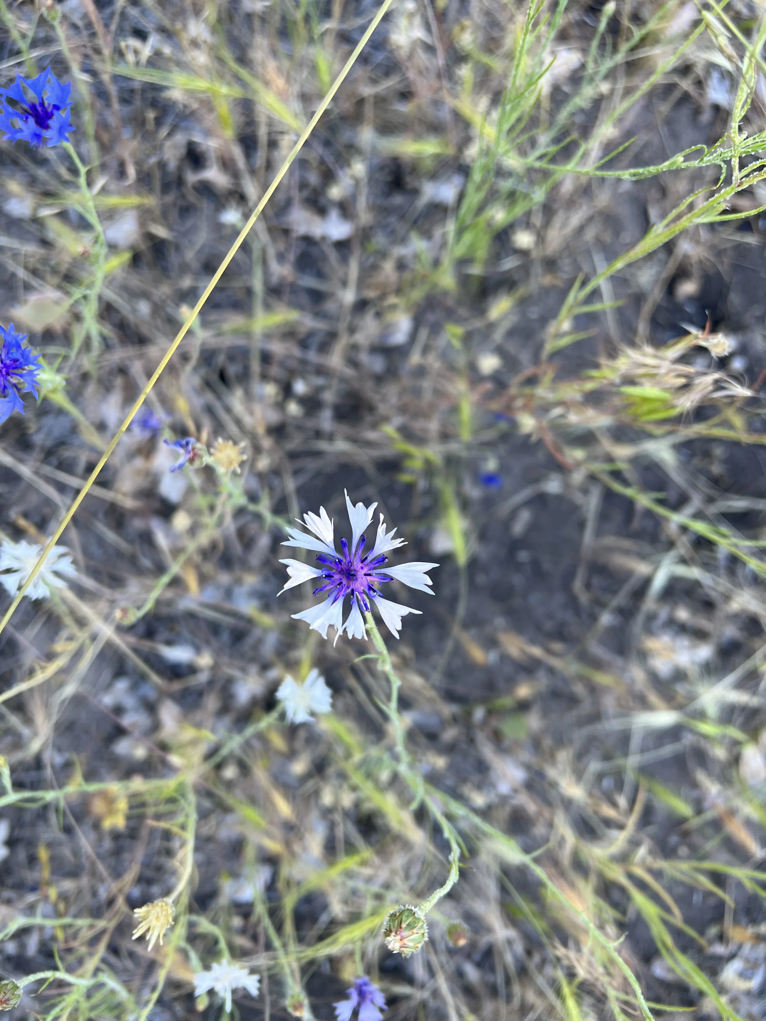
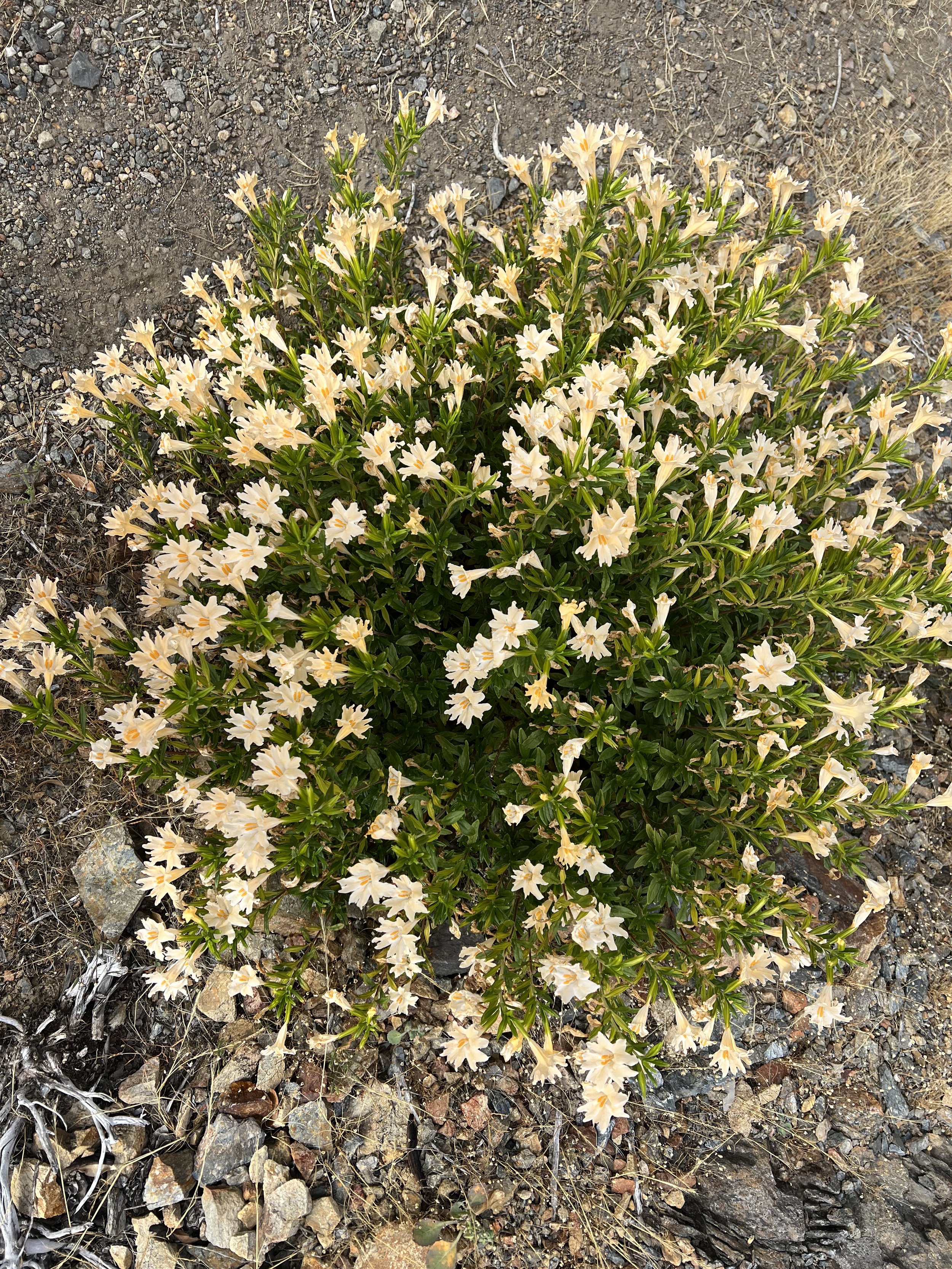
I’ve become fascinated with the flowers along the trail, I’ve included some pictures below as an appendix.


