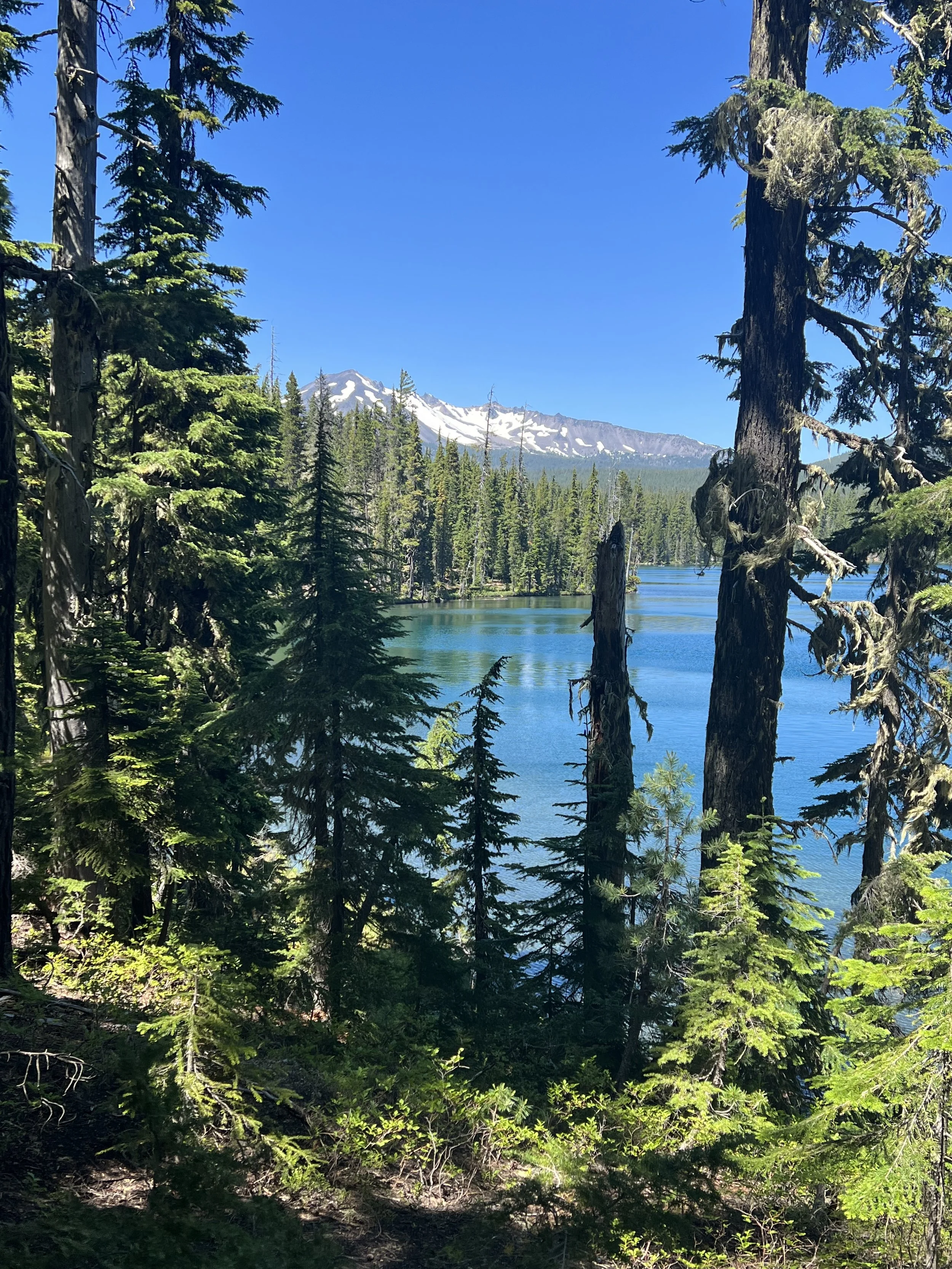
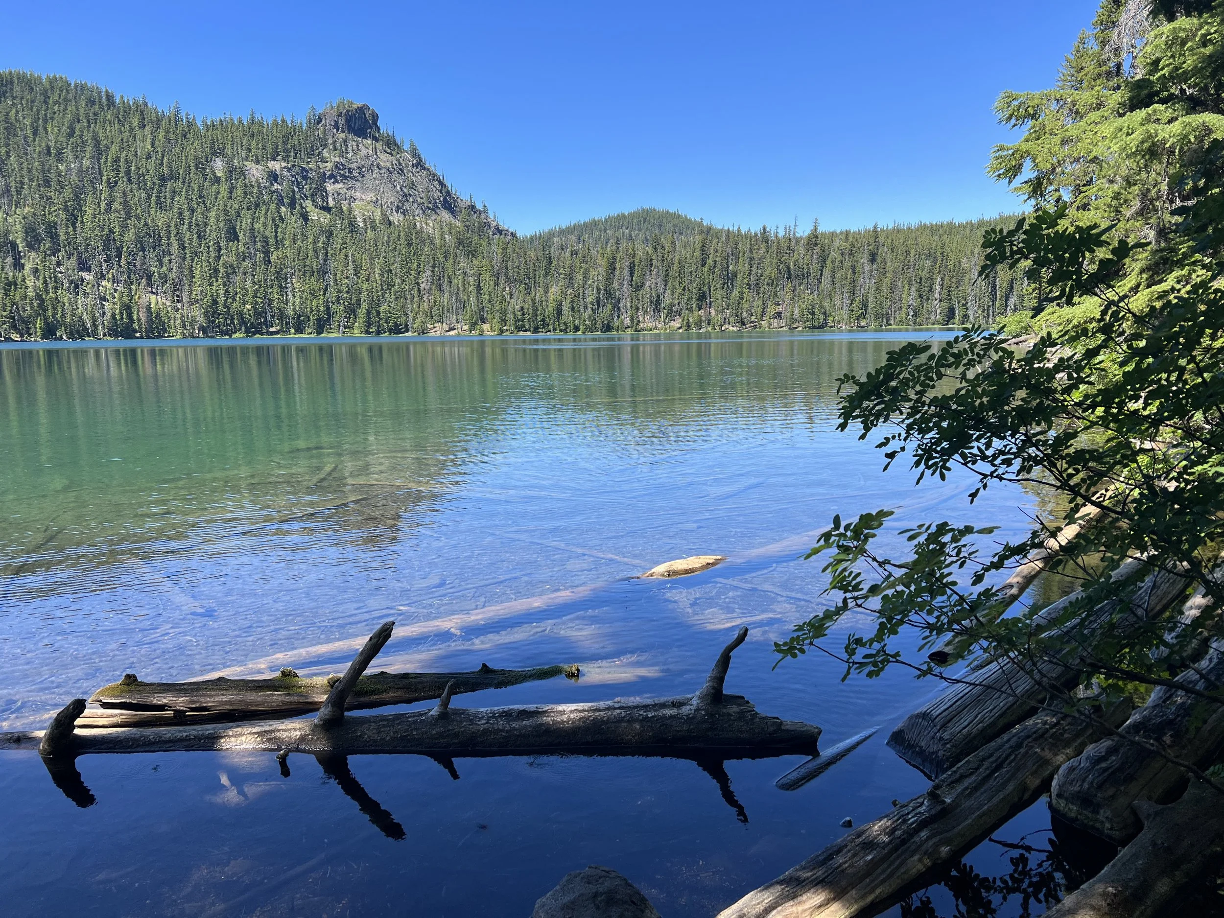
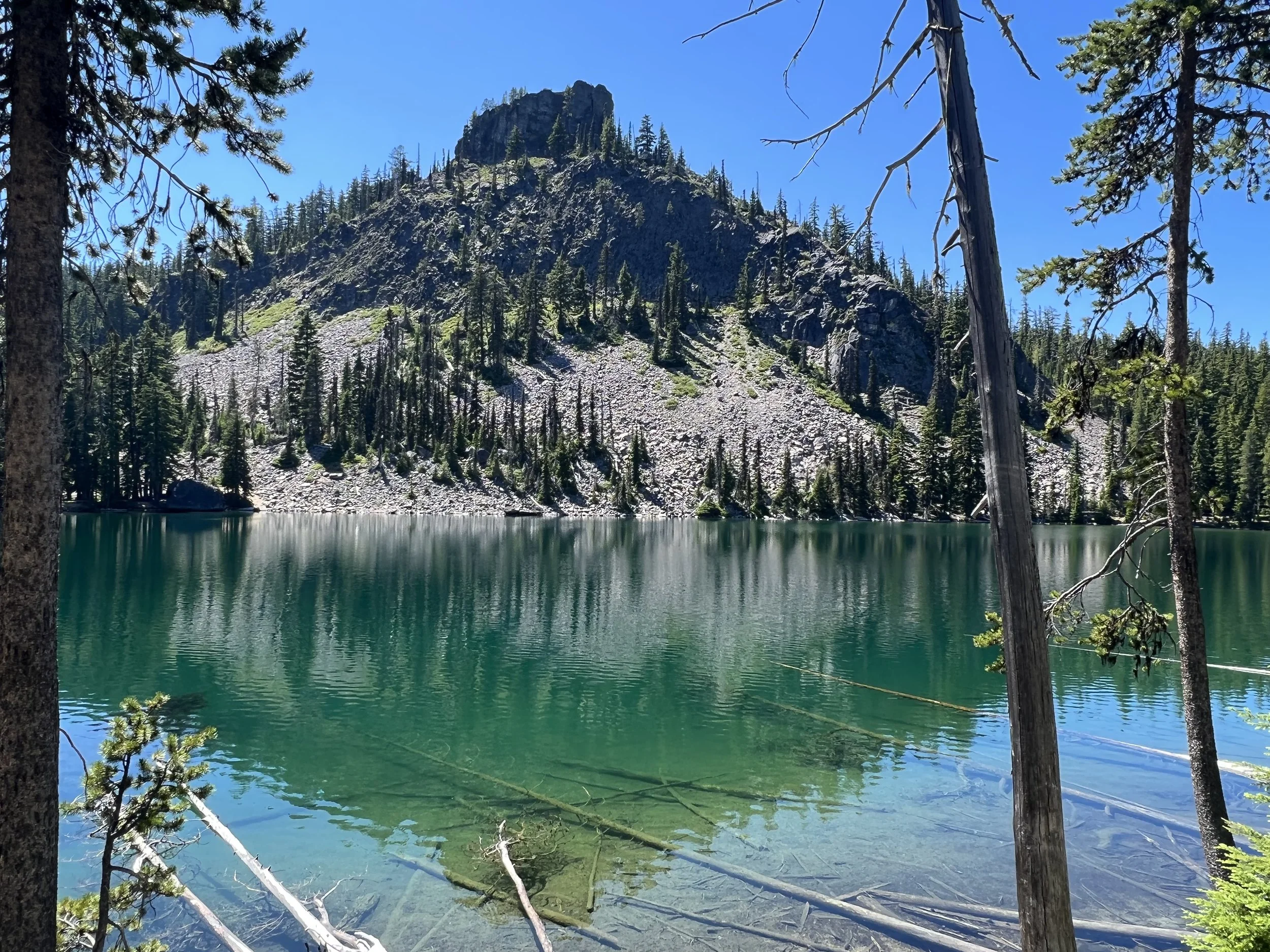
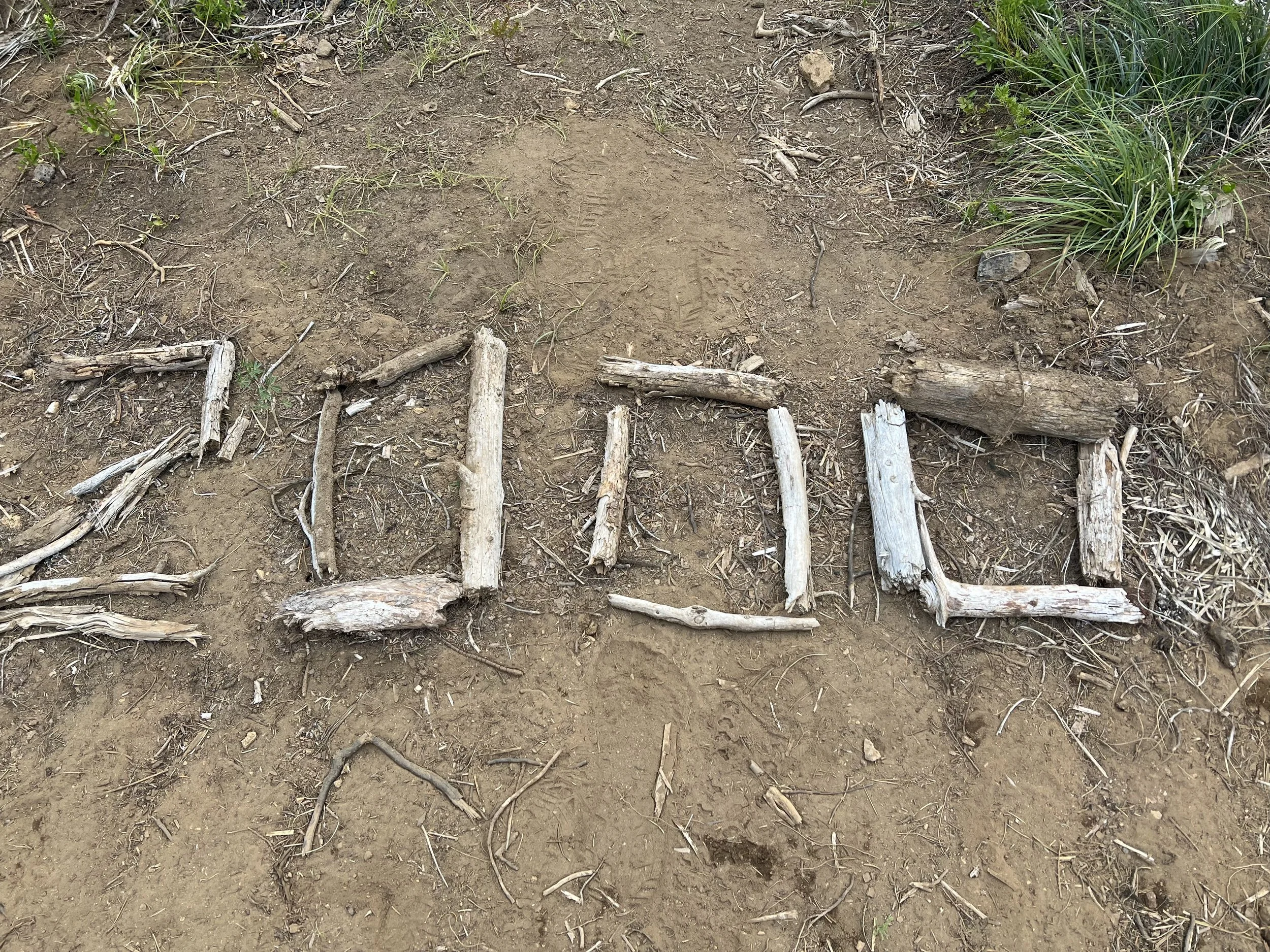
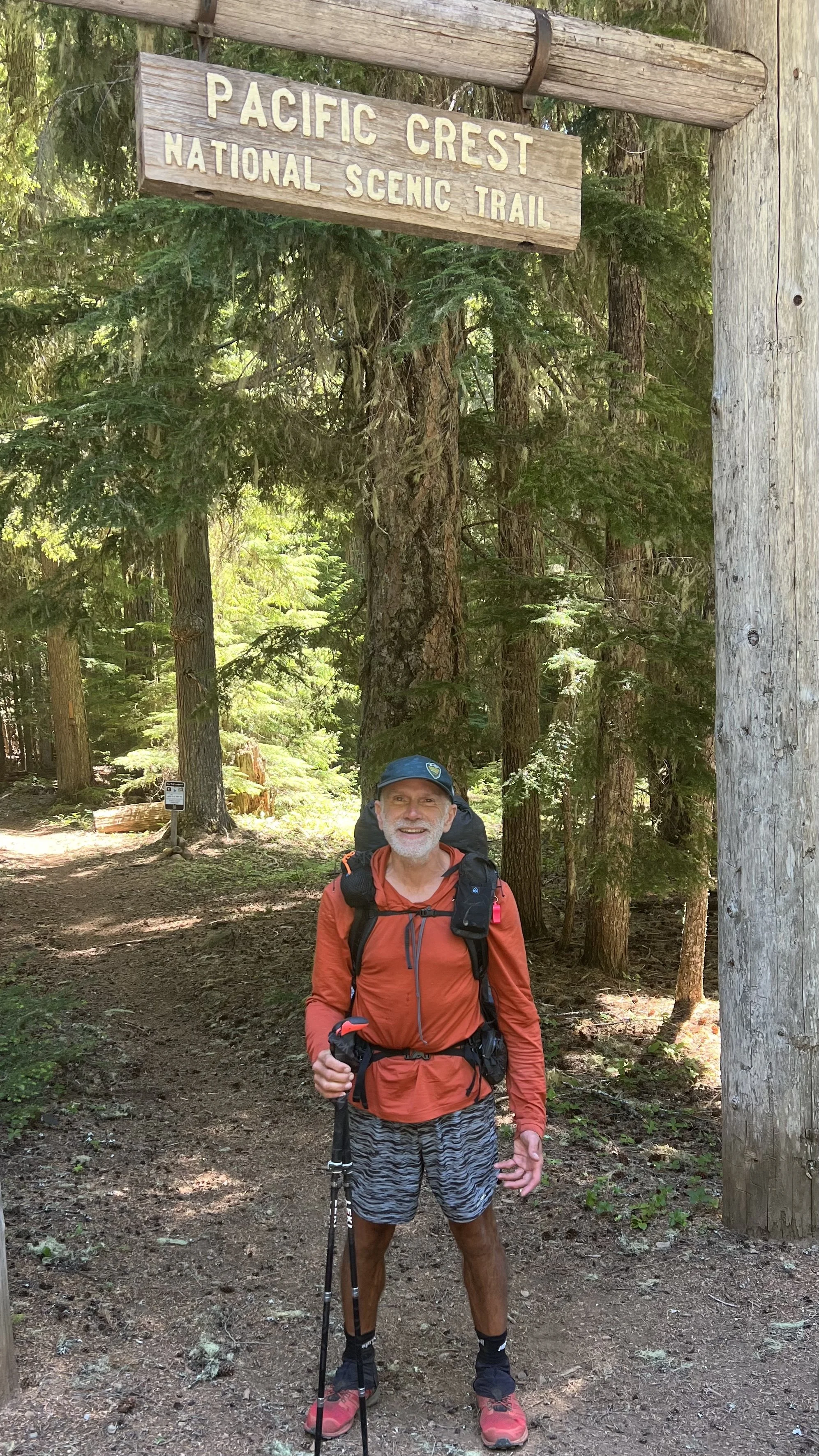
Days 94-119. Through Oregon over the Bridge of Gods. Miles 1720 to 2394.
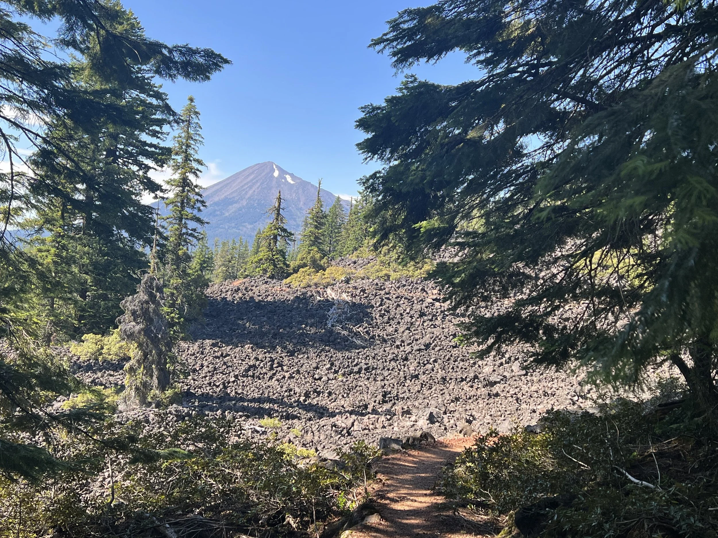
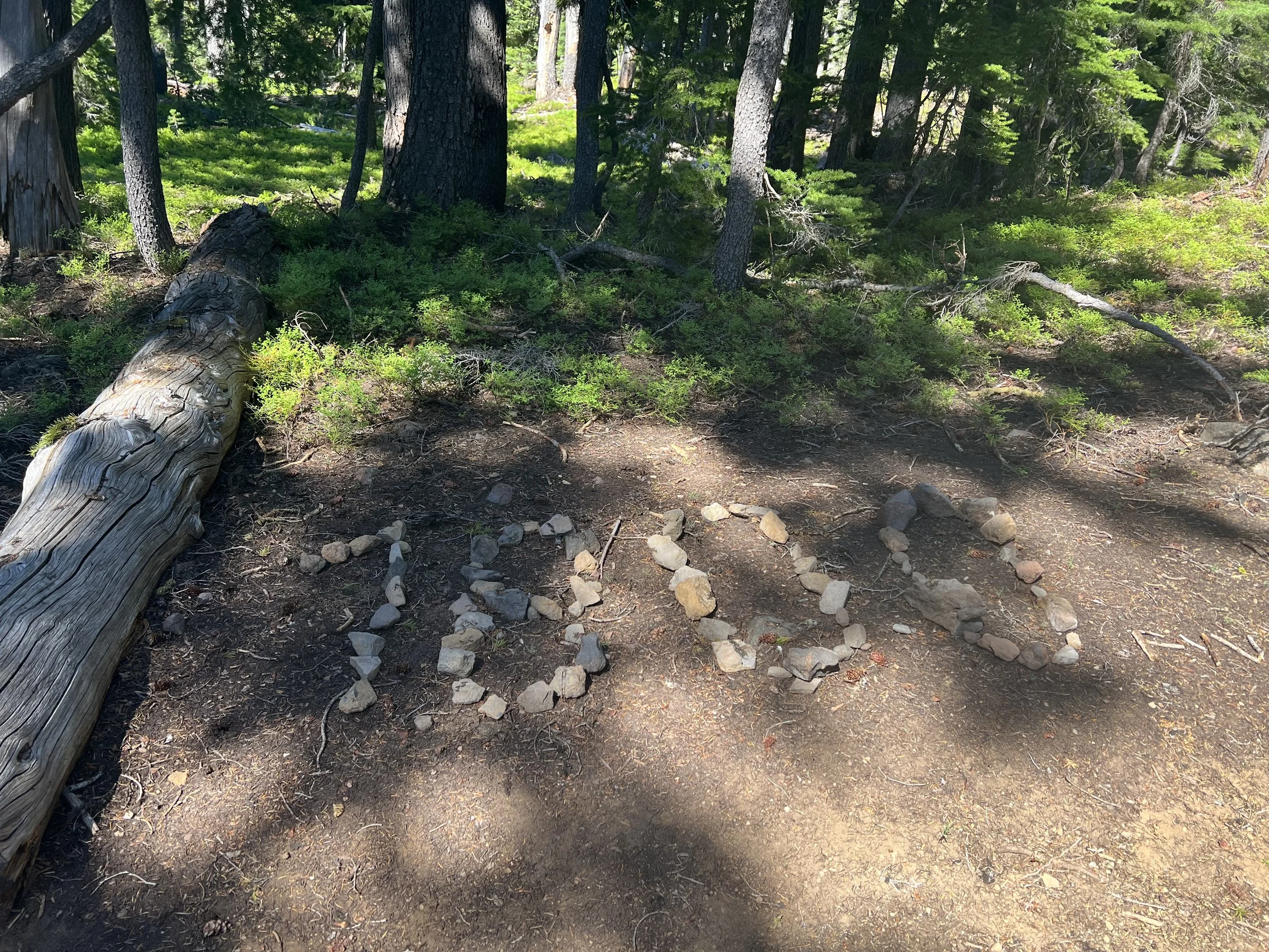
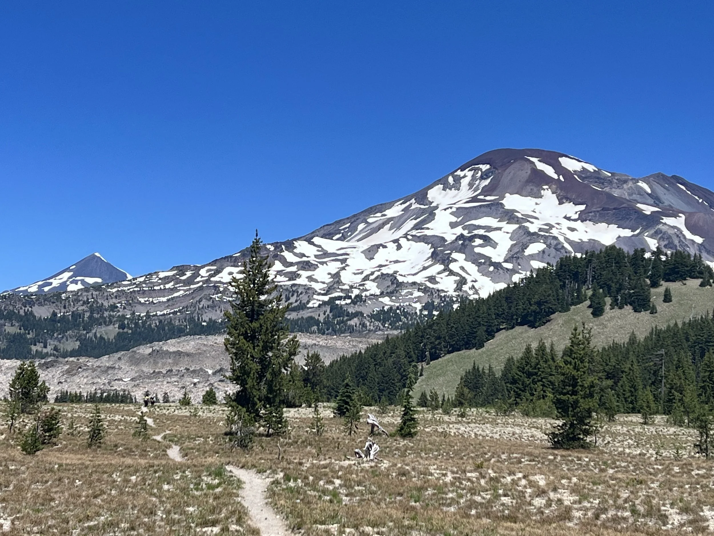
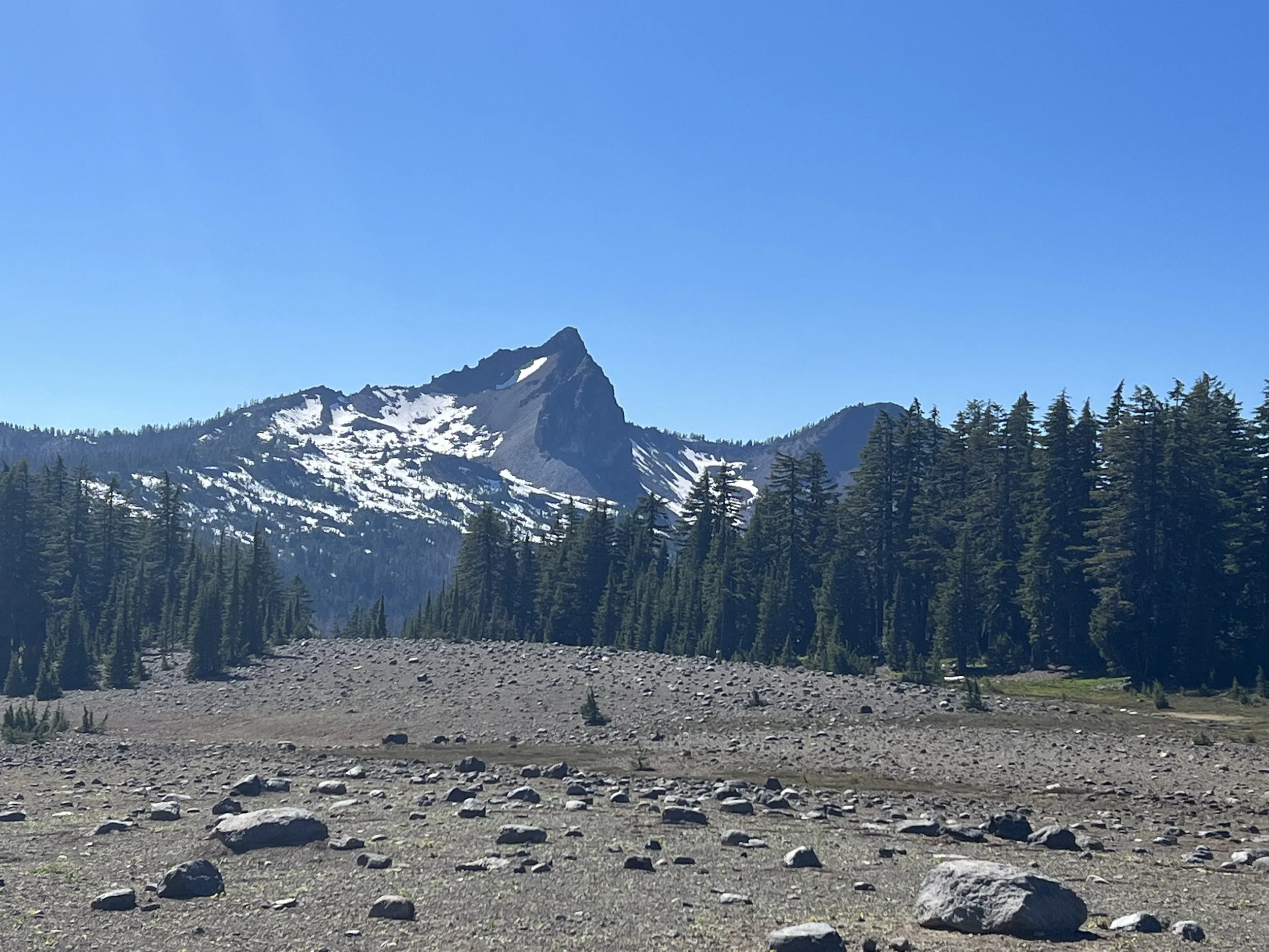
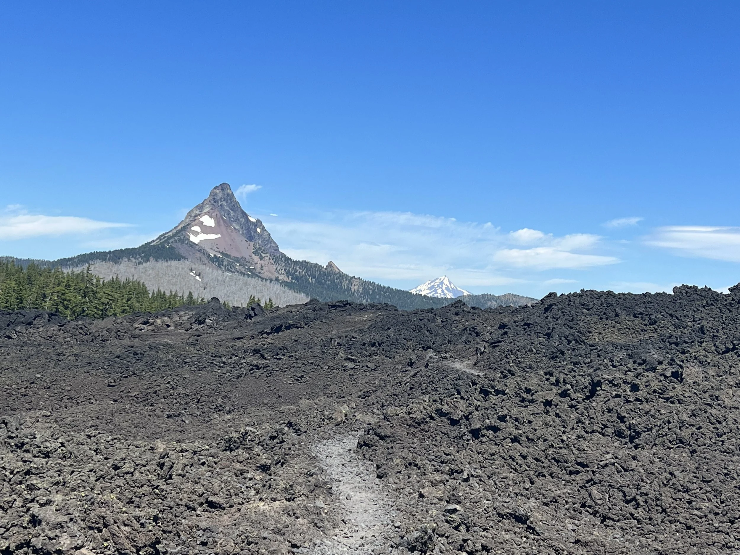
Oregon has a reputation for being flat with easy cruisy trails. True, relatively speaking, with most days having less than 4000’ of climbing and fairly easy underfoot. I was able to comfortably do 30 mile days. A few challenges existed including lava fields that flowed over the trail not only making it difficult underfoot but also radiating heat, however they proved a dramatic contrast to the green landscape of Oregon.
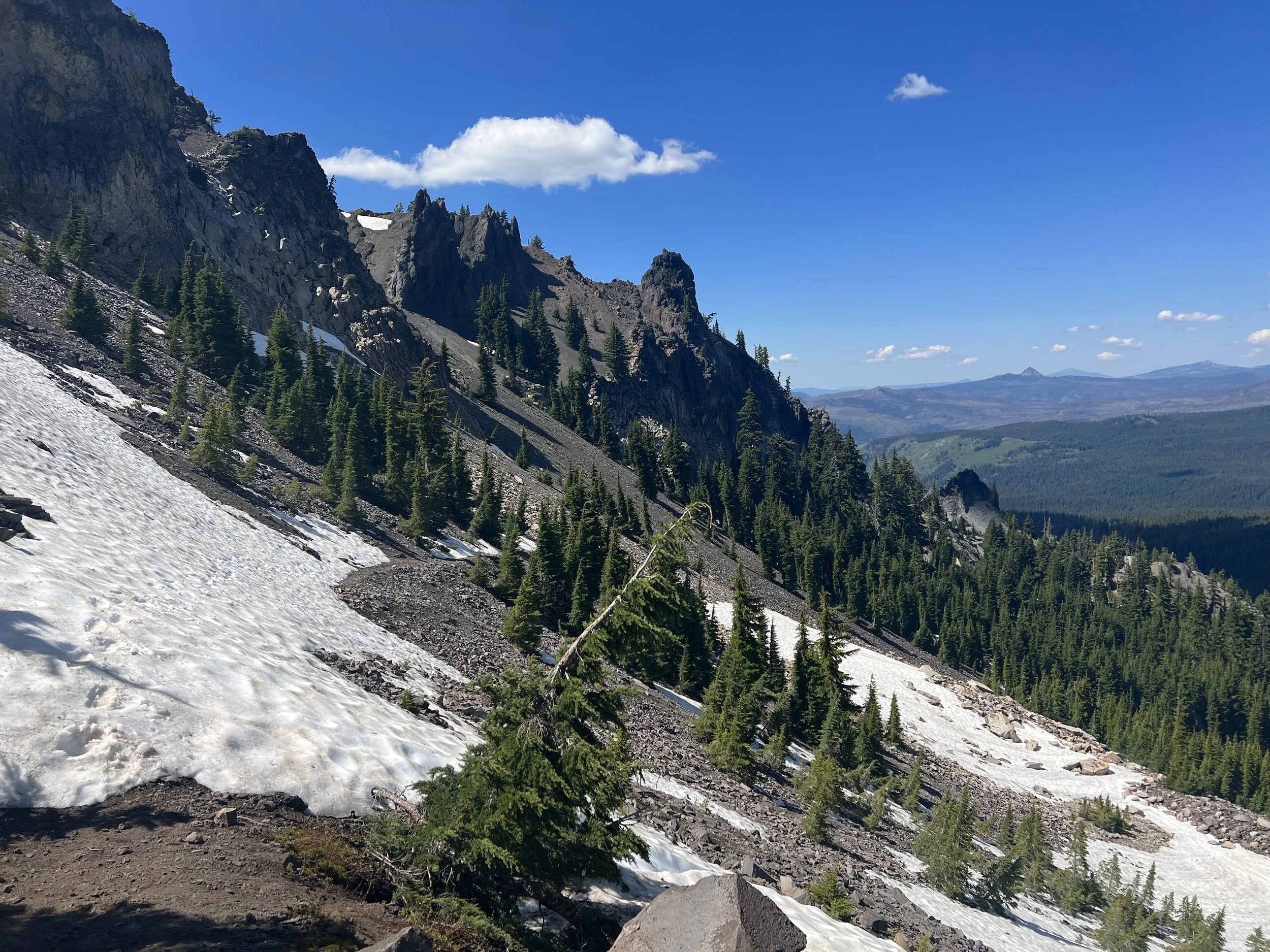
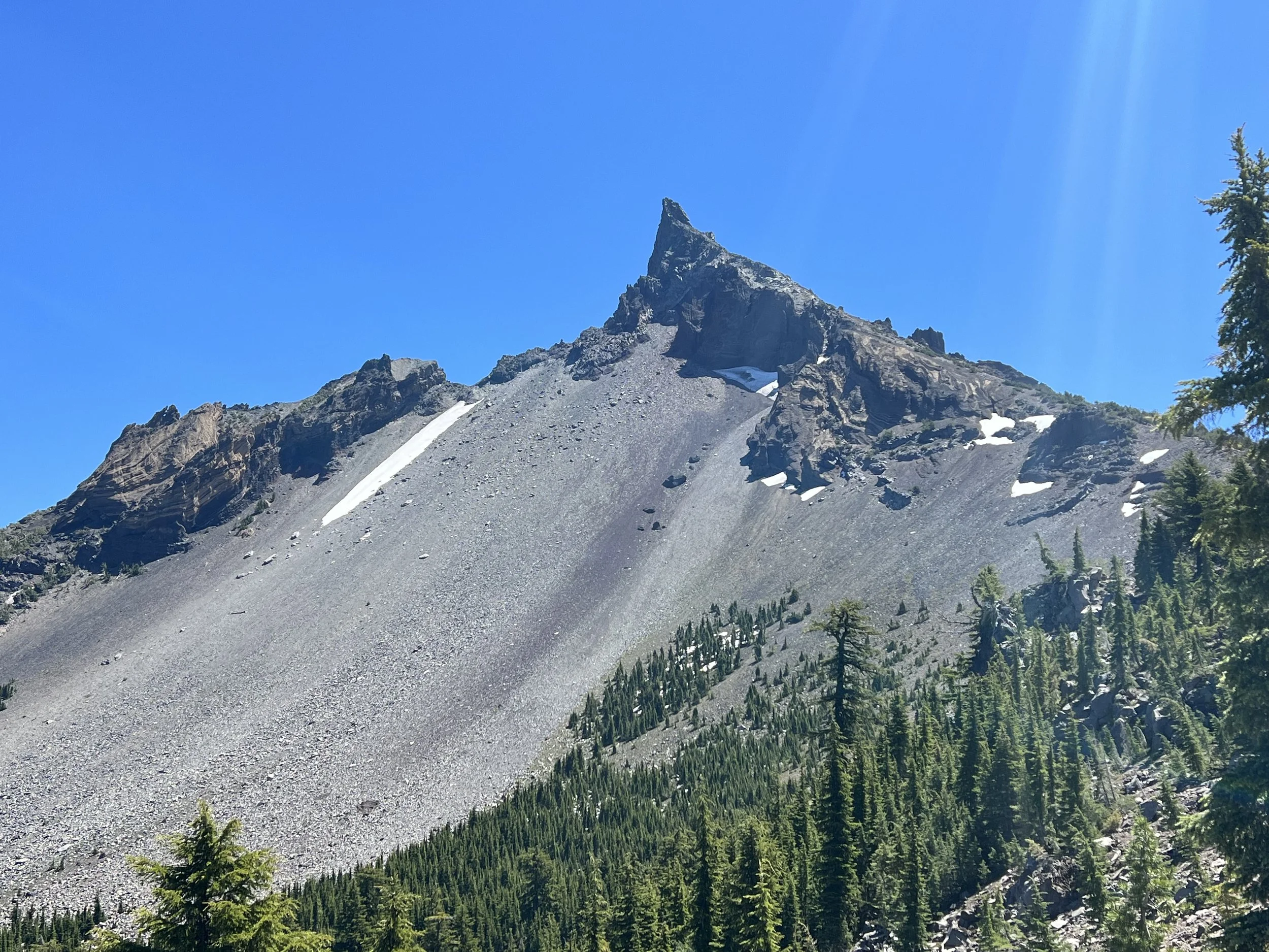
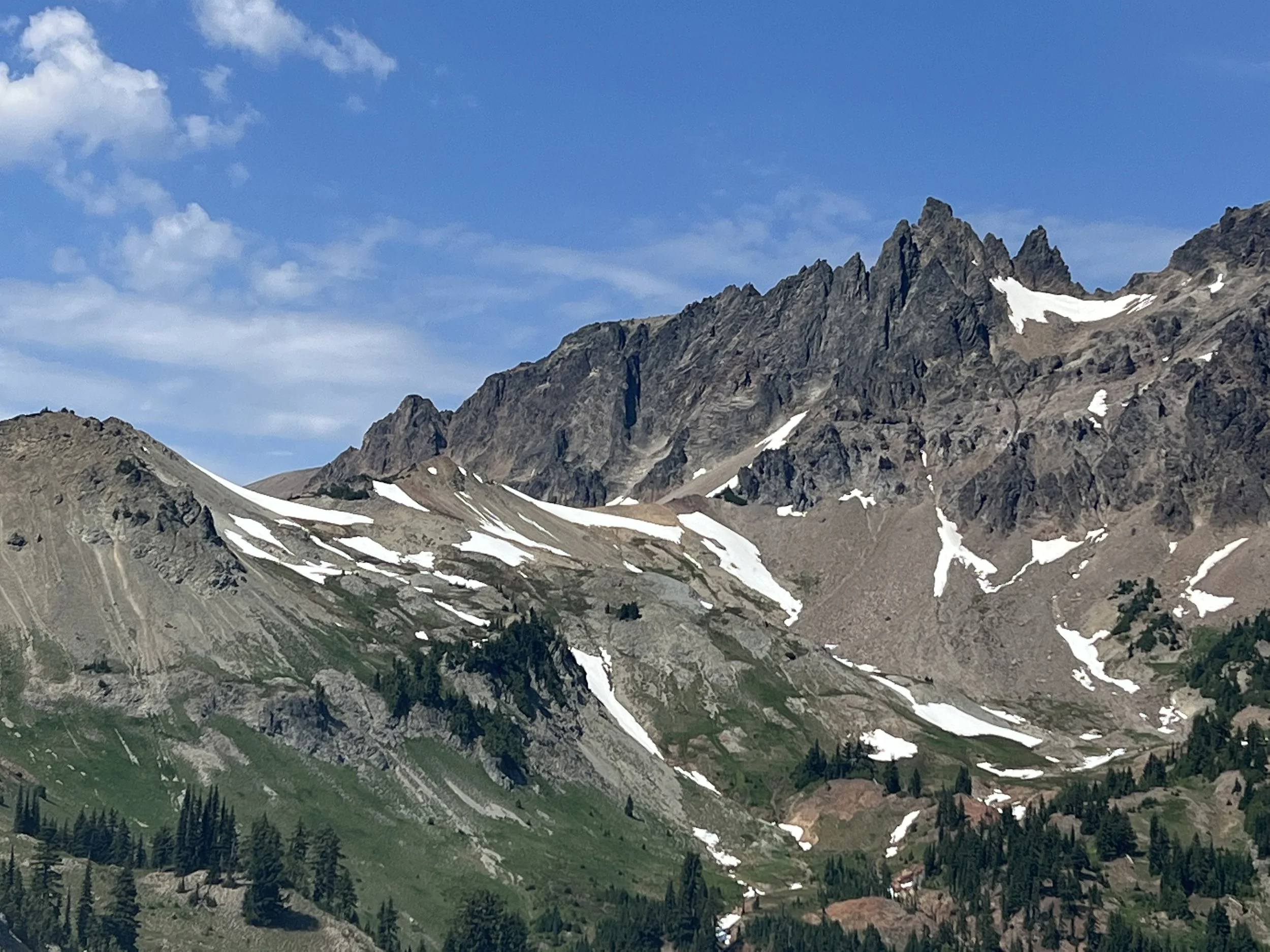
Ascending out of the forest on occasions the landscape turned from thick forest to rugged volcanic rock formations. A few patches of snow and one longer stretch of about a mile but easy going compared to May in the Sierra.
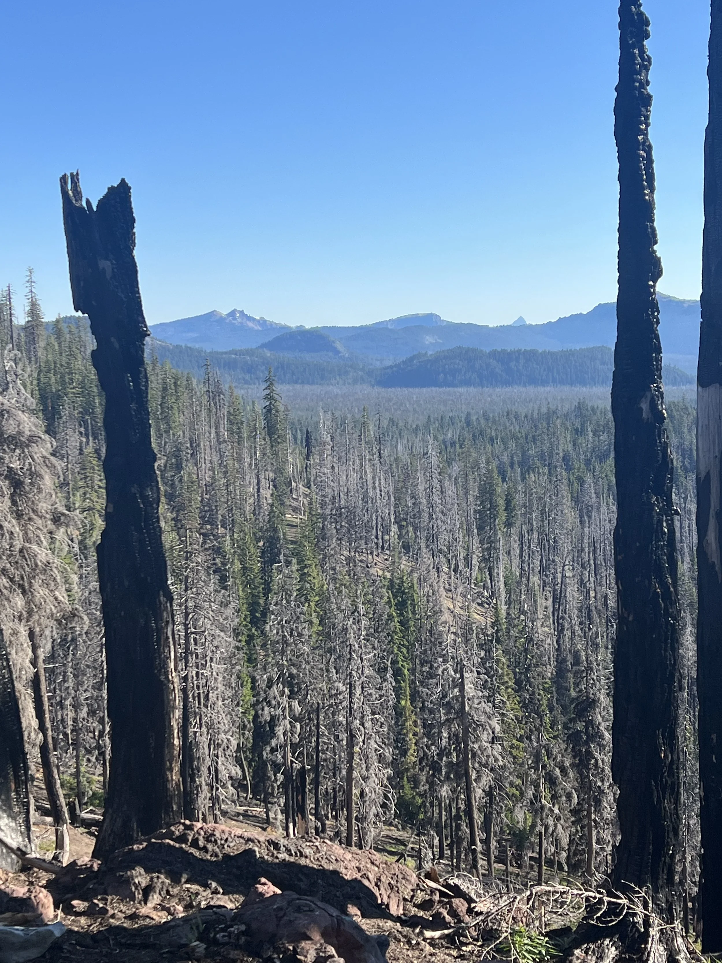
I was surprised by the amount of burnt area in both Oregon and Washington having expected the wetter, green, more northern part of the traiL to be less prone to fire, how wrong I was.
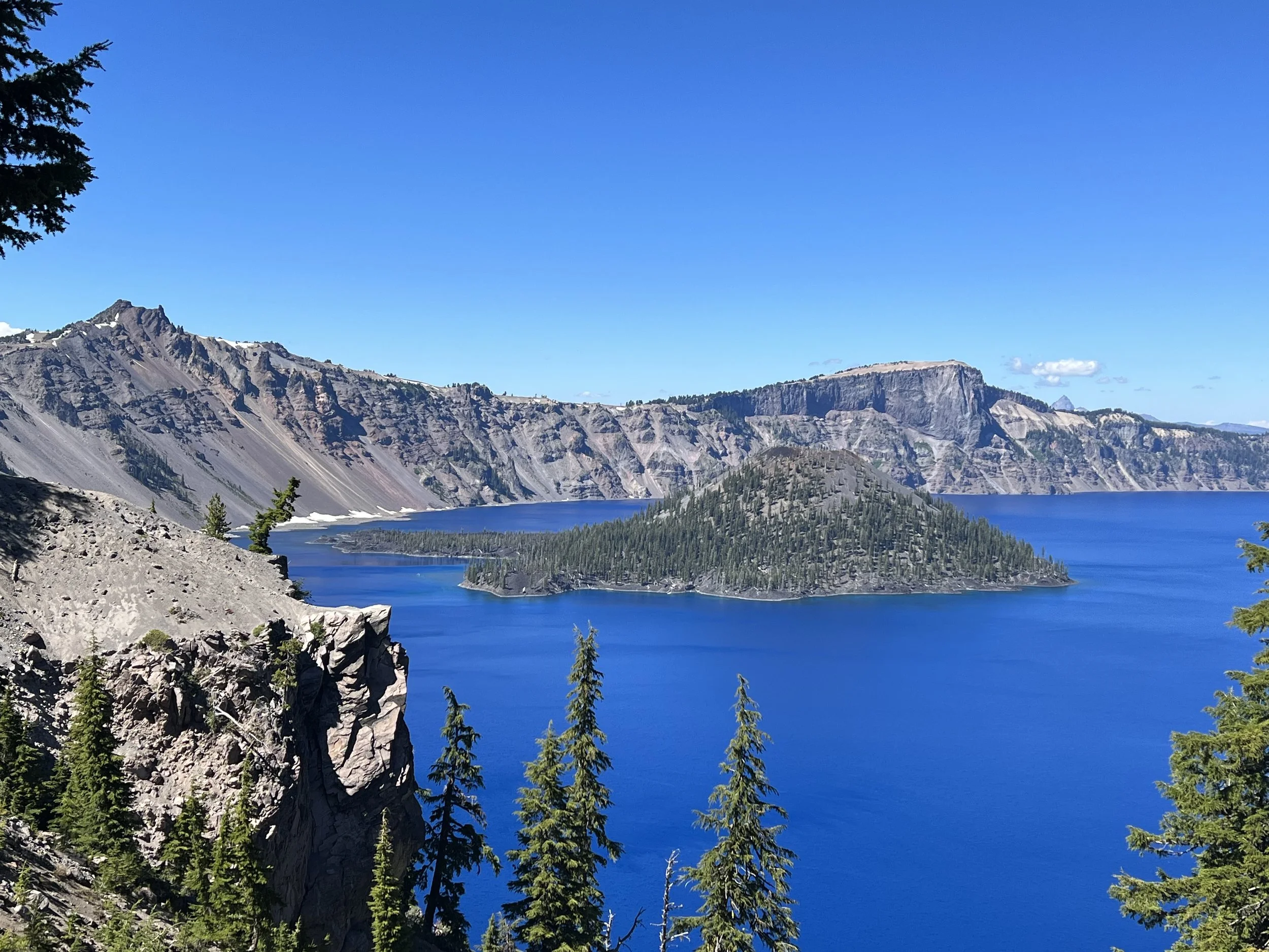
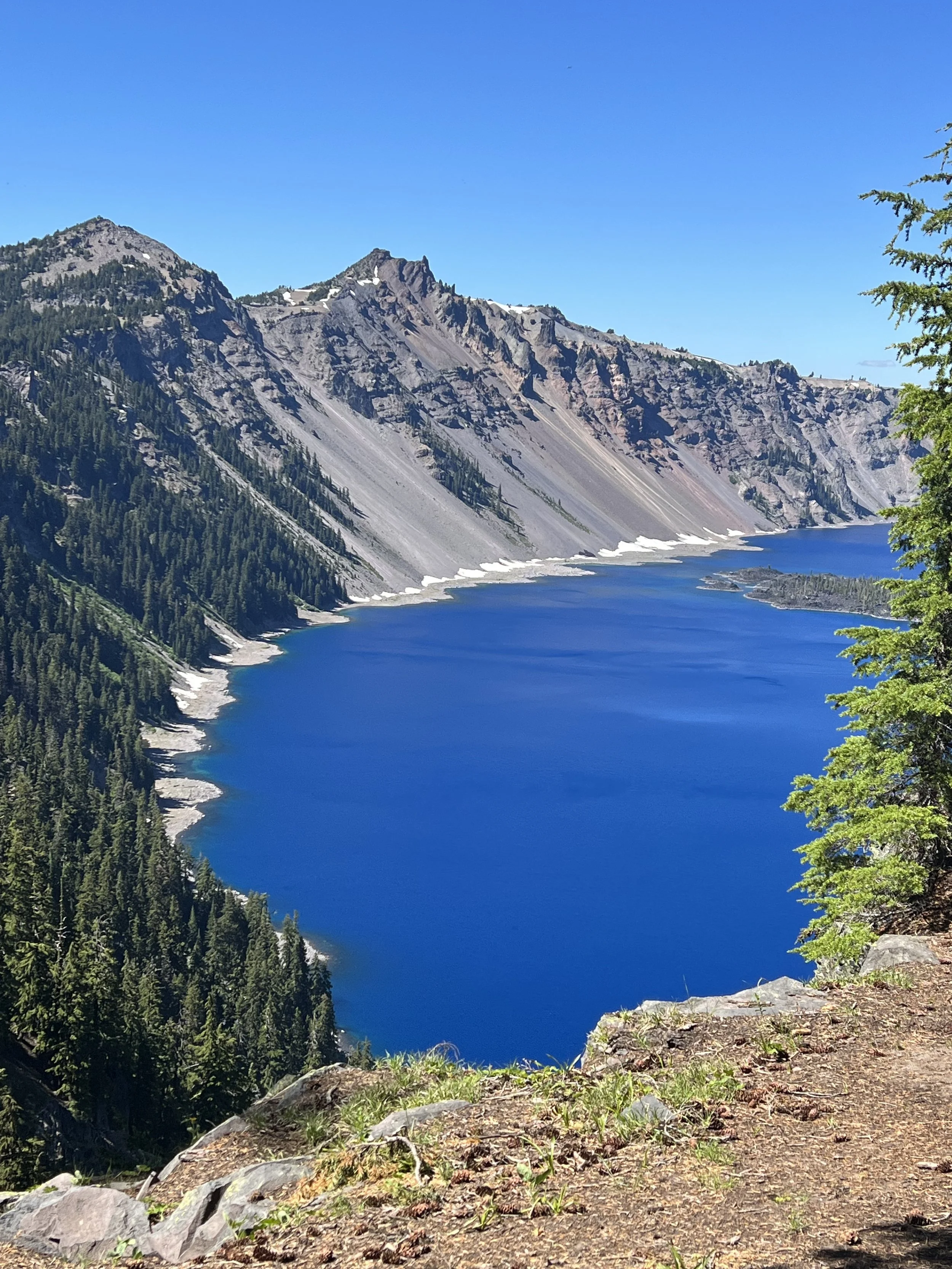
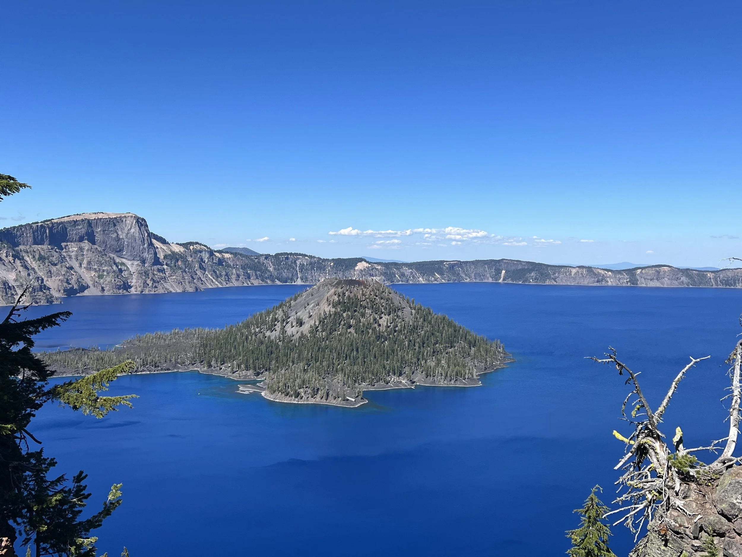
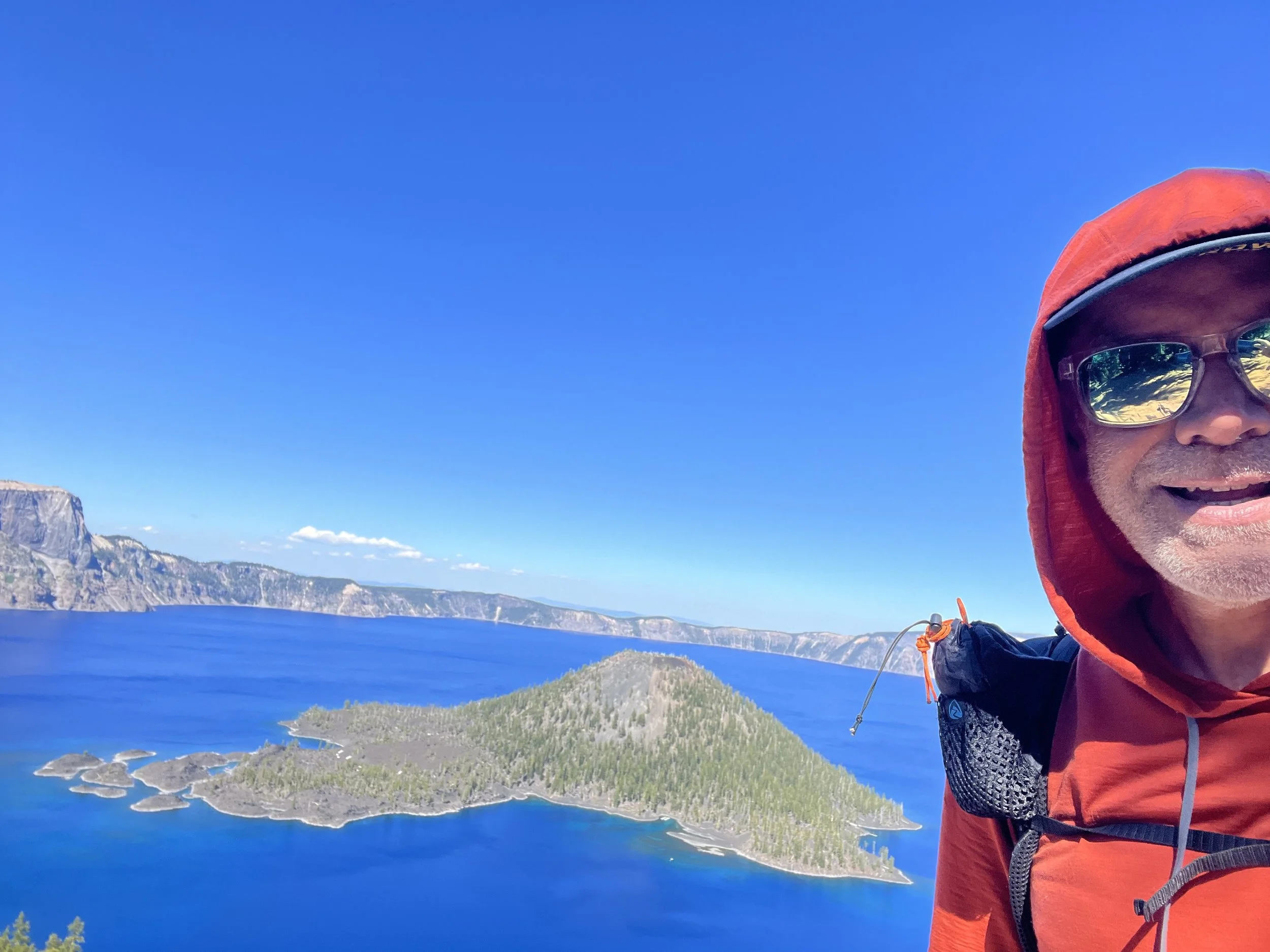
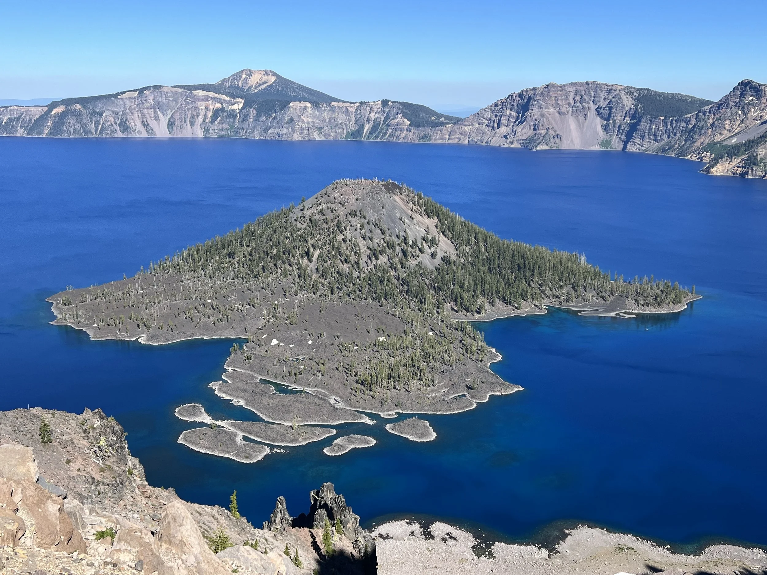
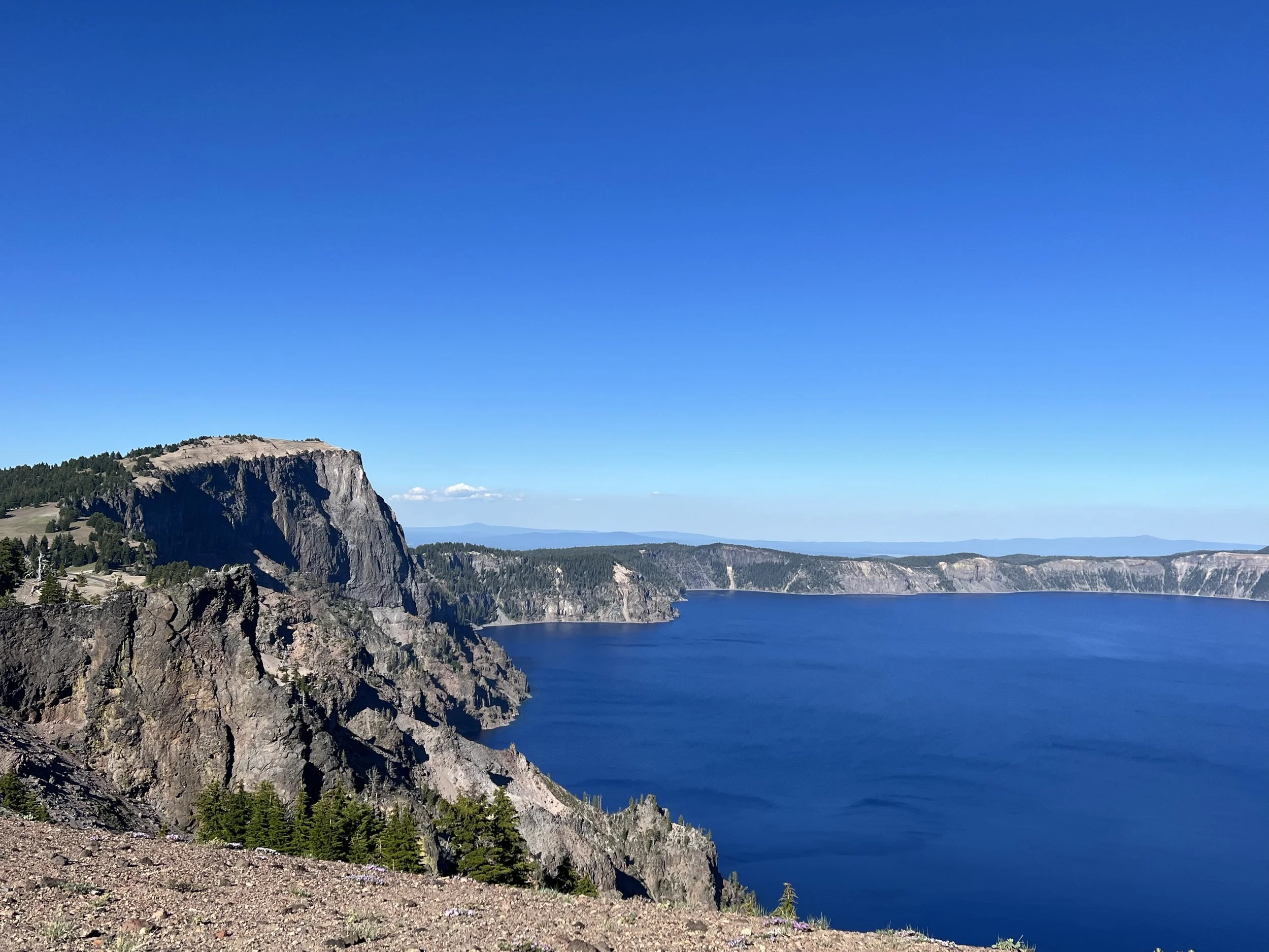
Hiking past the 1800 mile mark we approached Crater Lake. I’d visited before and enjoyed the visit but on this occasion it was a completely different experience, I’m not sure if hiking there under my own steam rather than driving or just having a large section of the rim trail to myself made the experience far more spectacular. Or it might have been the large veggie pizza I’d had for lunch in the village and carried what I couldn’t finish for dinner sitting high on the crater rim looking down into the lake.
Leaving Crater Lake I was back in the forest tunnel of green, another mile or so of snow near the highest point the PCT goes in Oregon and I dropped down into Shelter Cover to collect my resupply box, shower and do laundry. The RV park that provided these facilities also had an area set up for PCT hikers to sit in the shade, recharge our battery banks and relax. I reconnected with people I hadn’t seen since 1500 miles back as well as met up again with people I’d hiked with prior to my zero in Ashland.
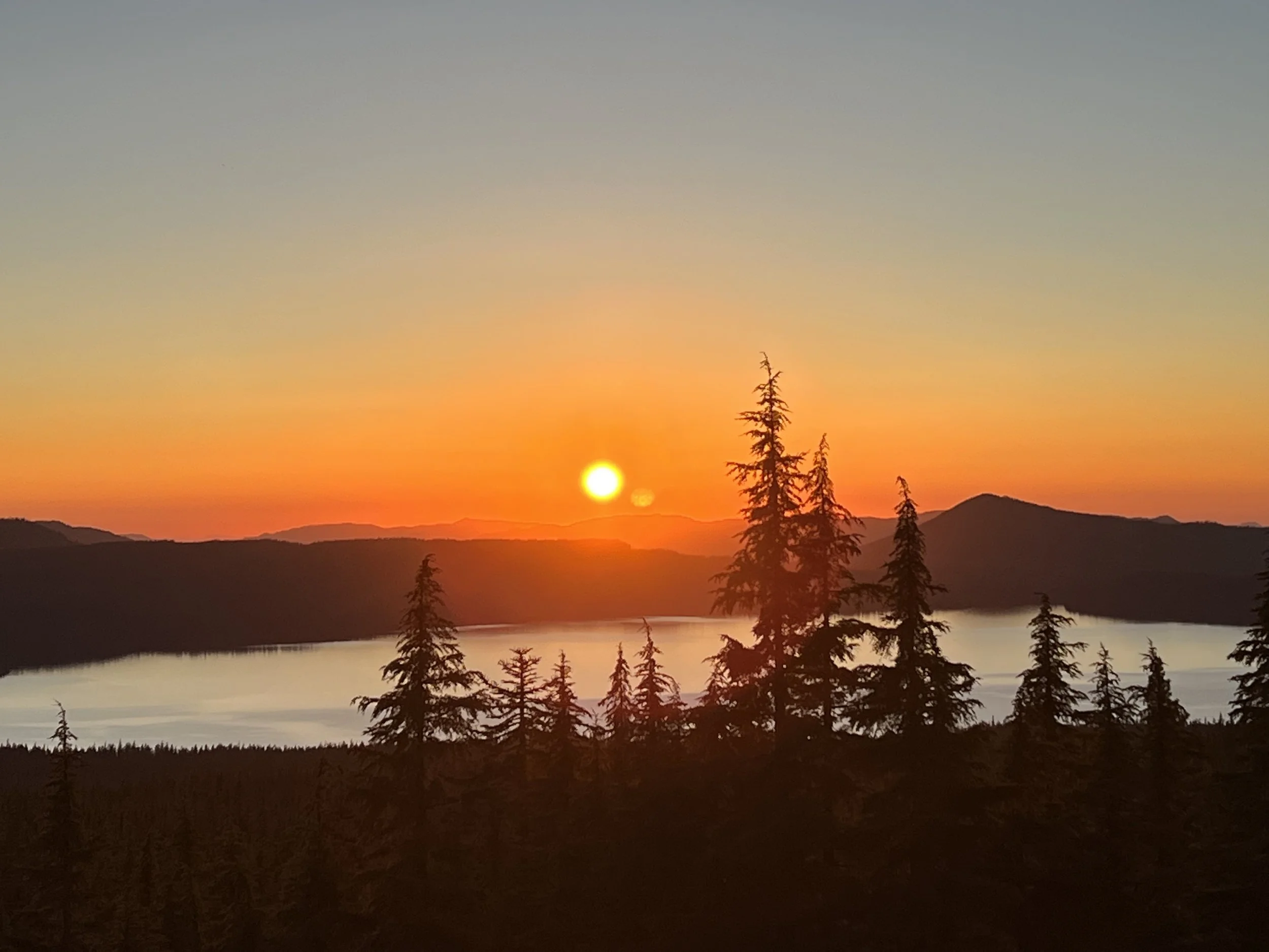
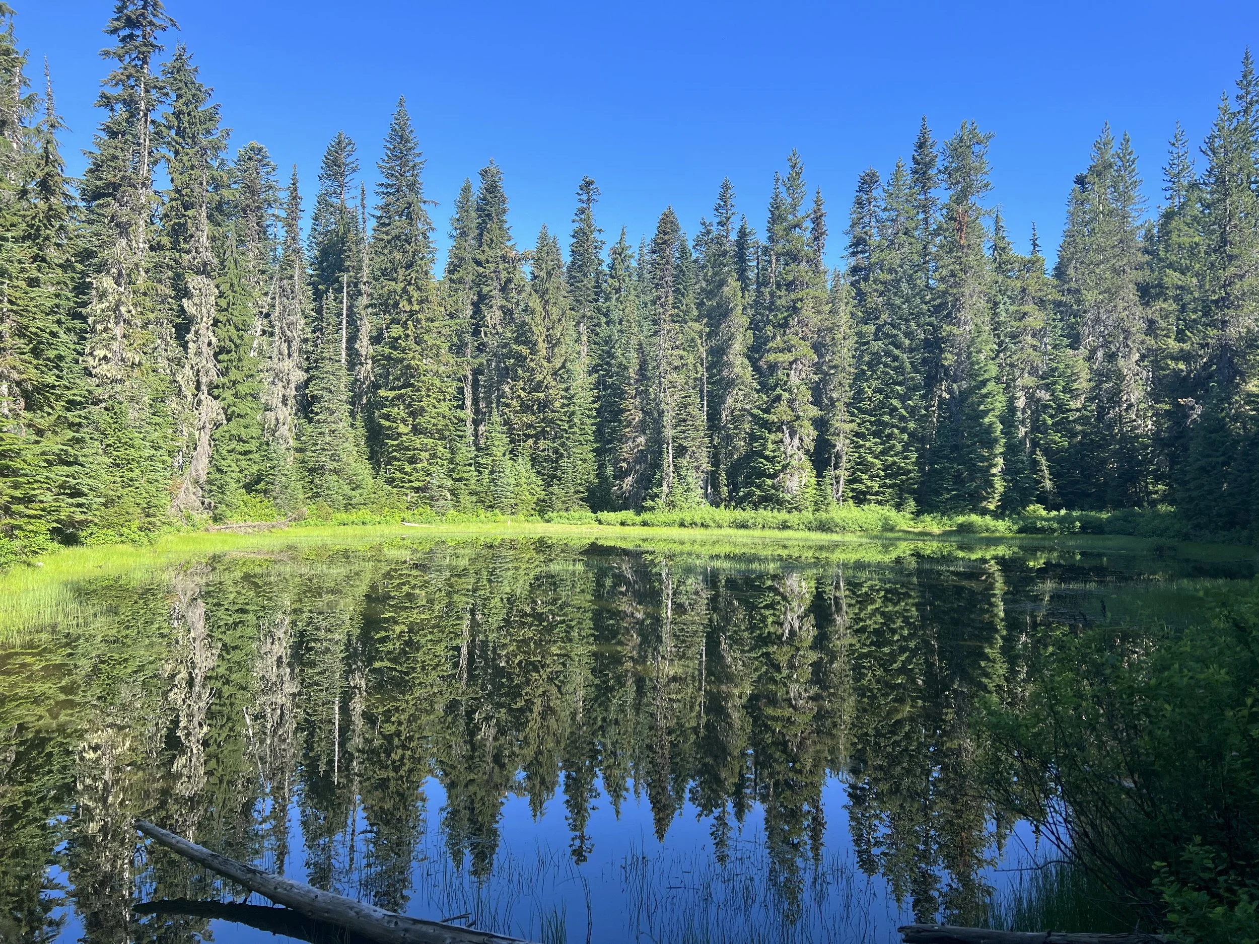
The mosquitos had been pretty bad throughout Oregon meaning breaks to stop and eat during the day were minimal and after finding a camping spot I had to quickly get my tent up and everything in it before being covered in bites. Quickly getting out and back in my tent to brush my teeth one evening I counted 20 mosquitos had joined me back in the tent! The night after Shelter Cover was a welcome break from the mosquitos, pitching my tent high up overlooking a lake and with a gentle breeze keeping the mosquitos away I was able to sit on the rocks, eat dinner and enjoy a spectacular sunset.
The trail continued through forest, lakes and a difficult section through a barren lava strewn landscape, the rocks being difficult to walk on and heat they radiated combined with the sun exposure made for a tough 20 or so miles. This section was eased by meeting and hiking with people I’d been seeing the last few hundred miles, a familiar face and easy conversation make some of the less interesting miles fly by.
Passing the 2000 mile mark I had a difficult decision to make. 21 miles of the PCT have been closed for over 2 years. Known as the Lionshead closure and resulting from a forest fire the authorities hadn’t cleaned up the trail and there are apparently blown down trees crossing the trail and potential for more trees to fall. Given the Dixie fire area I passed through in Northern California had been reopened after less than a year there may be some truth in the hearsay that the Lionshead closure is as much about politics as about safety. A number of hikers have hiked through the closed area and I had been intending doing the same thing, hiking through at night. However in Crater Lake I’d seen people hike through a closed area while I walked around it on the road and thought them stupid and selfish to hike an area that was closed and deemed unsafe. If I were to hike through the Lionshead closure I’d be being hypocritical as well as breaking the law. I took the decision with a couple other people I’d been hiking with to book a shuttle around the area. The drive around is 150 miles due to the remoteness of the trail in that area. I’m glad we made the decision not to hike through, there had been rangers waiting 4 miles into the closure and people were being fined $300 and having their permits taken off them. The drive around included a resupply stop at Walmart - I’d never been to a Walmart before despite living in the US, it was so cheap! Sitting on the floor in the parking lot in the shade of the minivan that was transporting us eating my fresh mixed berries while another hiker ate her family size hummus and baby carrot we commented that we’d never do this in real life as we got strange looks from the Walmart shoppers.
My objective had been to do unbroken footsteps from the Mexican border to the Canadian border. A section in Southern California was closed due to a rare frog using it as a breeding ground and I’d done the 4 mile road walk rather than take a ride around it. As my original objective is no longer possible at least I will have walked what I can while obeying the law.
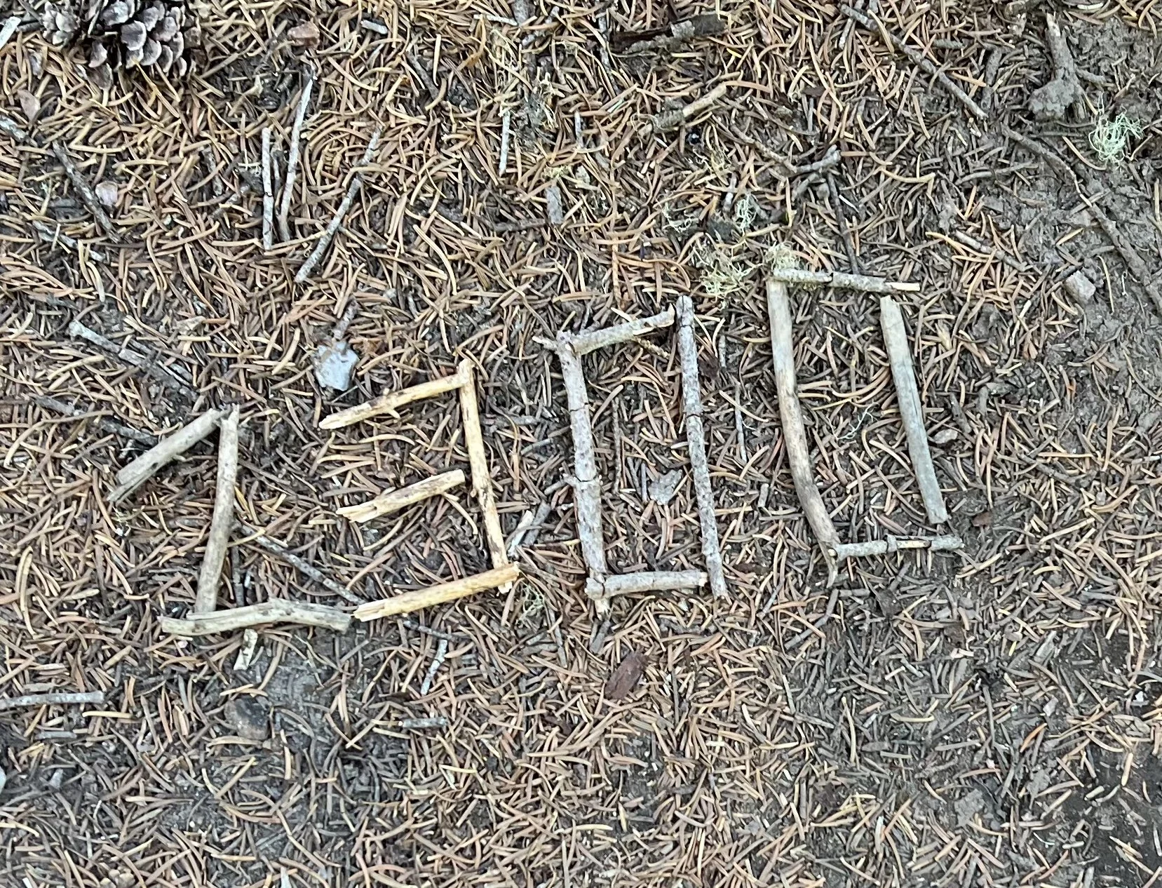
With 2000 miles completed and only 650 to go (well actually 680 as once you get to the Canadian border you have to turn around and hike 30 miles back as currently you’re not allowed to enter Canada on foot at remote border crossings) talk turned to finish dates and where people wanted to hike as their next through hike.
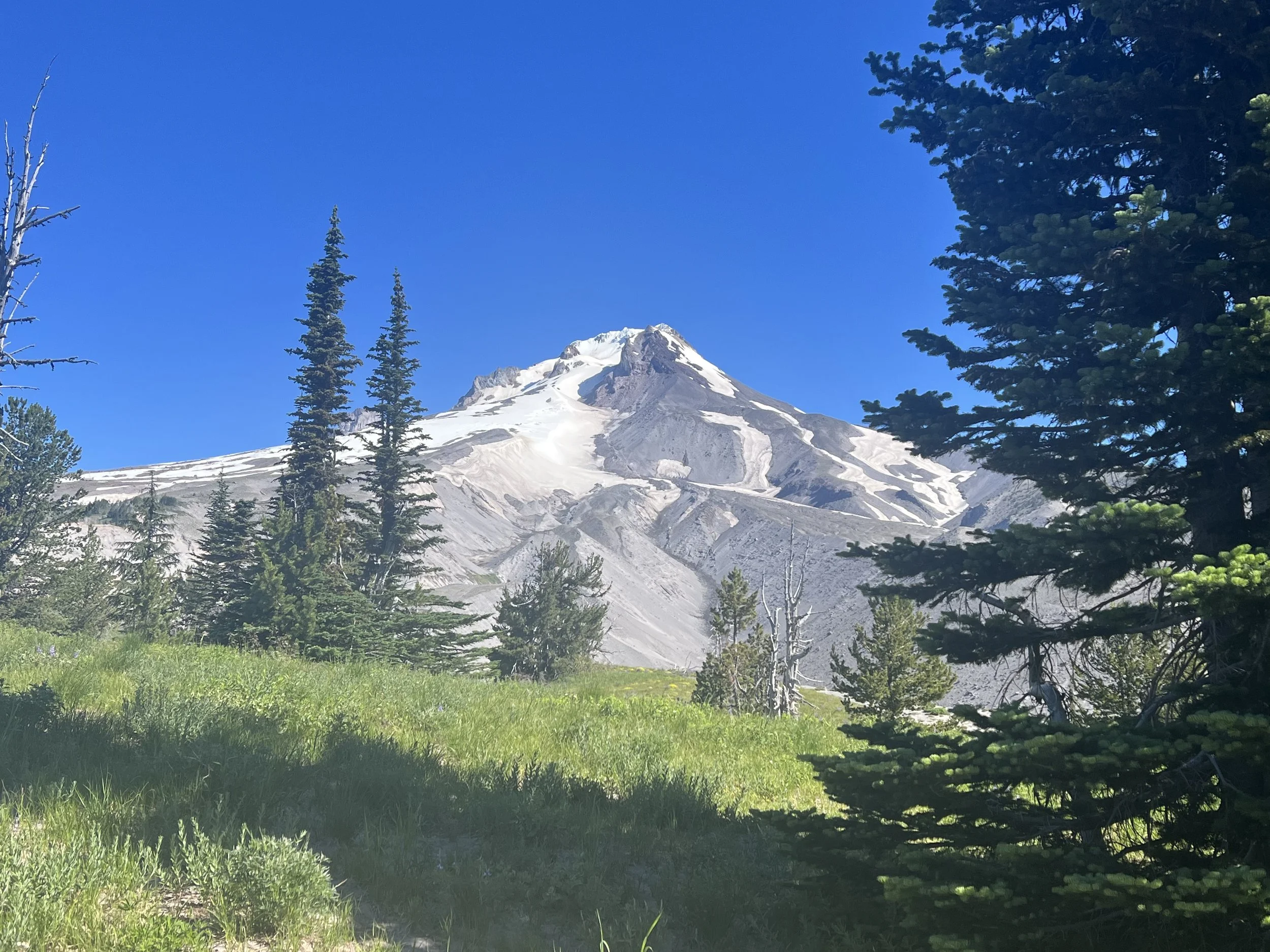
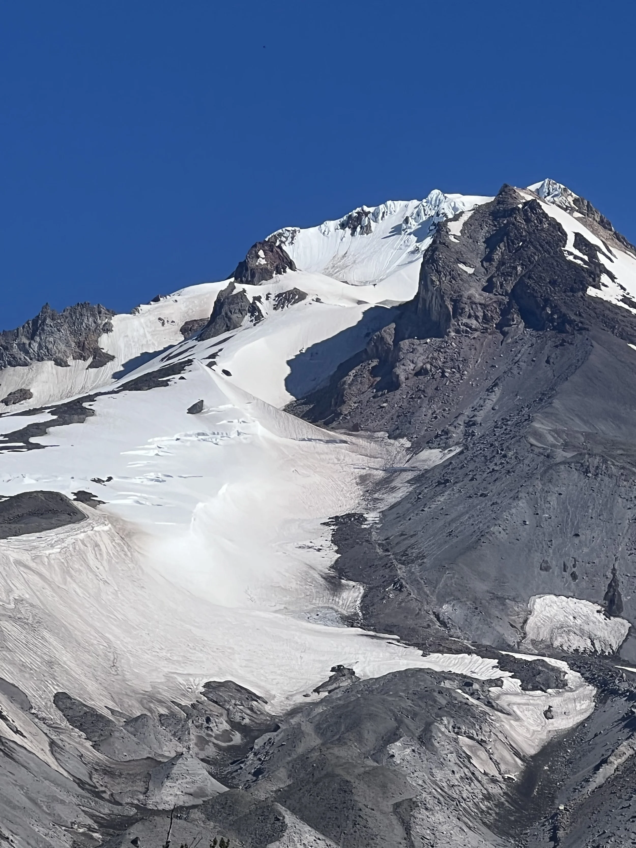
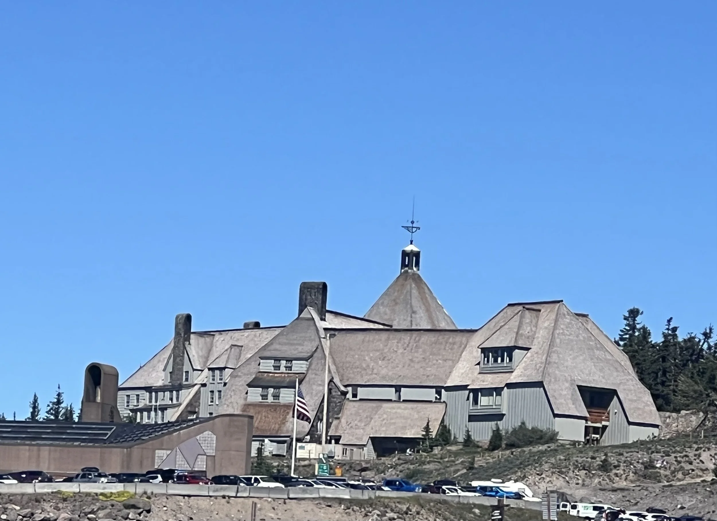
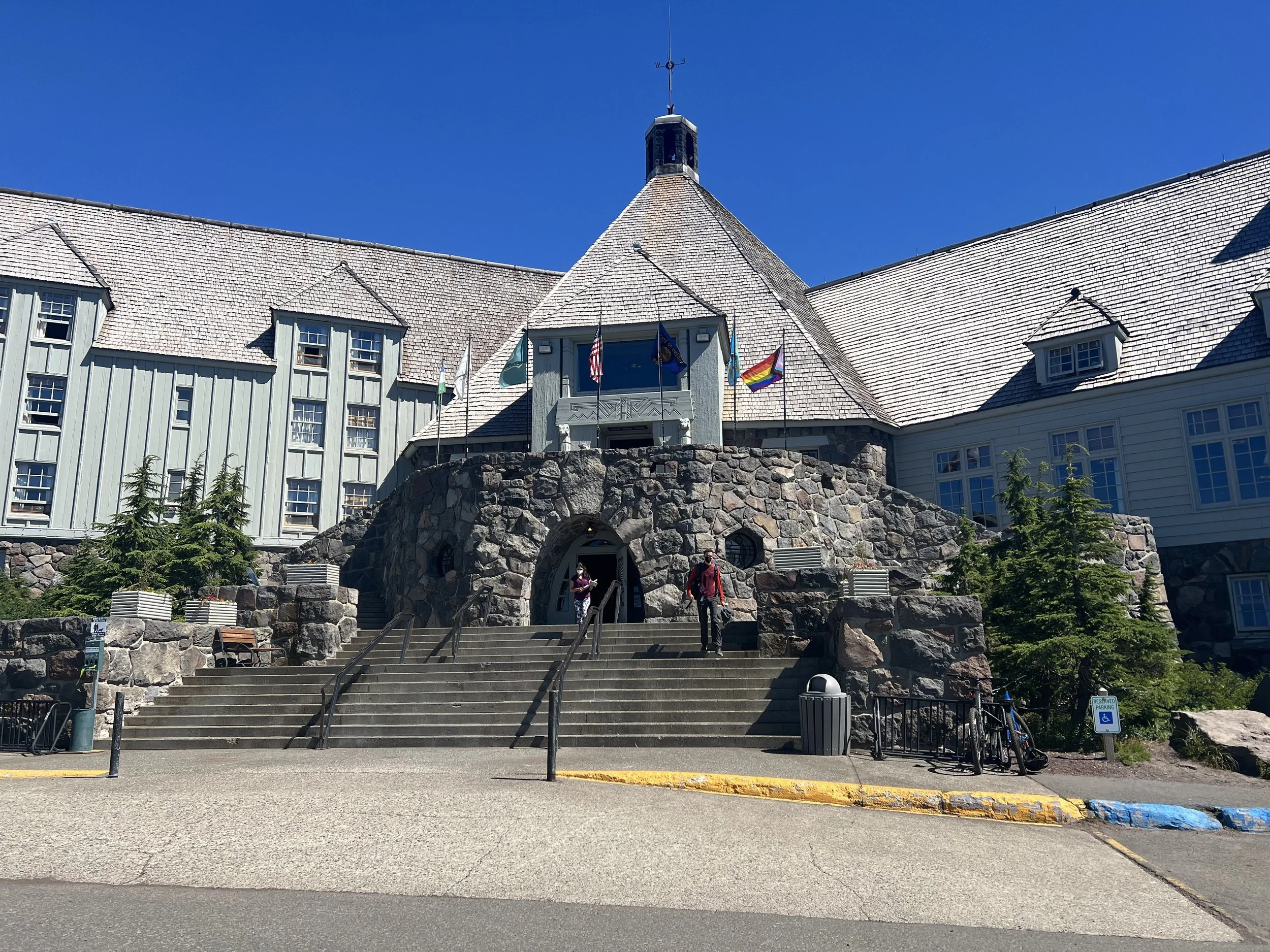
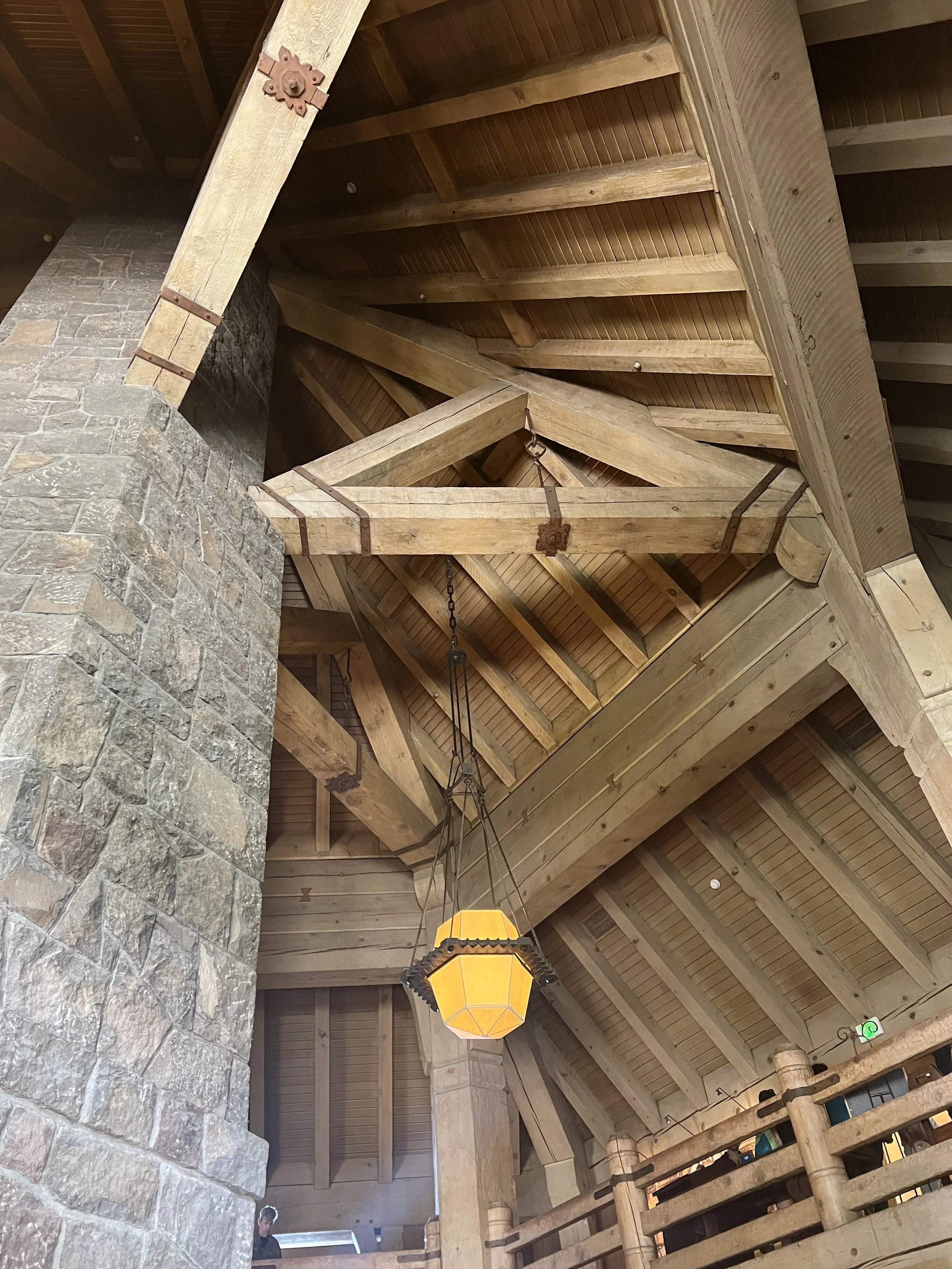
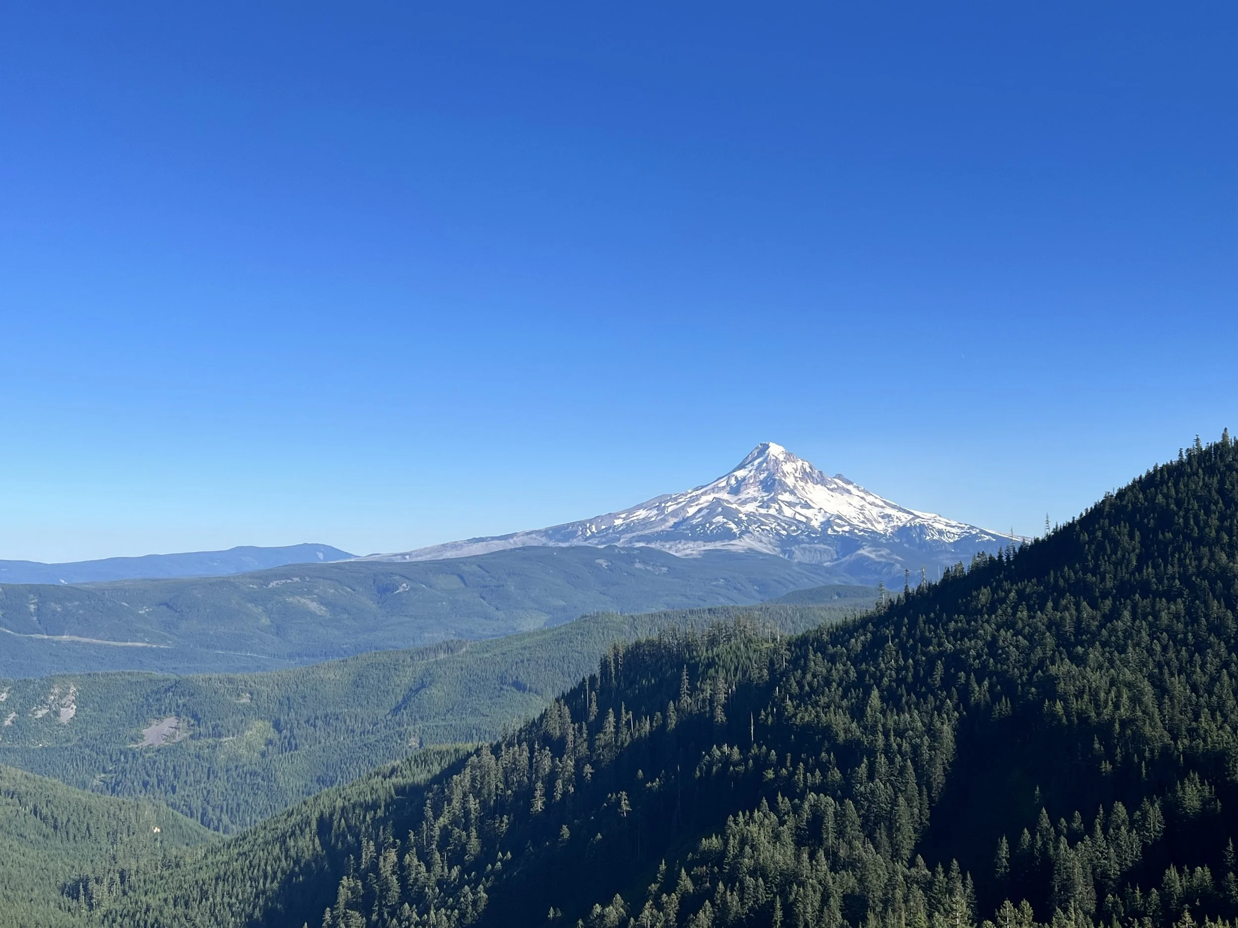
After another day hiking through forest and past beautiful lakes (swimming impossible with the mosquitos though) Mount Hood came into view. A glacial peak with year round skiing it got steadily closer. It was beautiful but my focus was on the lodge which serves as a hotel and ski resort. You may recognize it from a famous horror movie. While the outside was stark and austere the inside was massive wooden beams seemingly held together with pegs, large vaulted ceiling and decoration reminiscent of the Awahnee. The dining room was nice but far less spectacular than the Awahnee’s as I sat down for the $25 lunch buffet. The food was fantastic and I had more than my money’s worth although I did get up sold on the wine - but it was great and a double espresso helped me get back on trail.
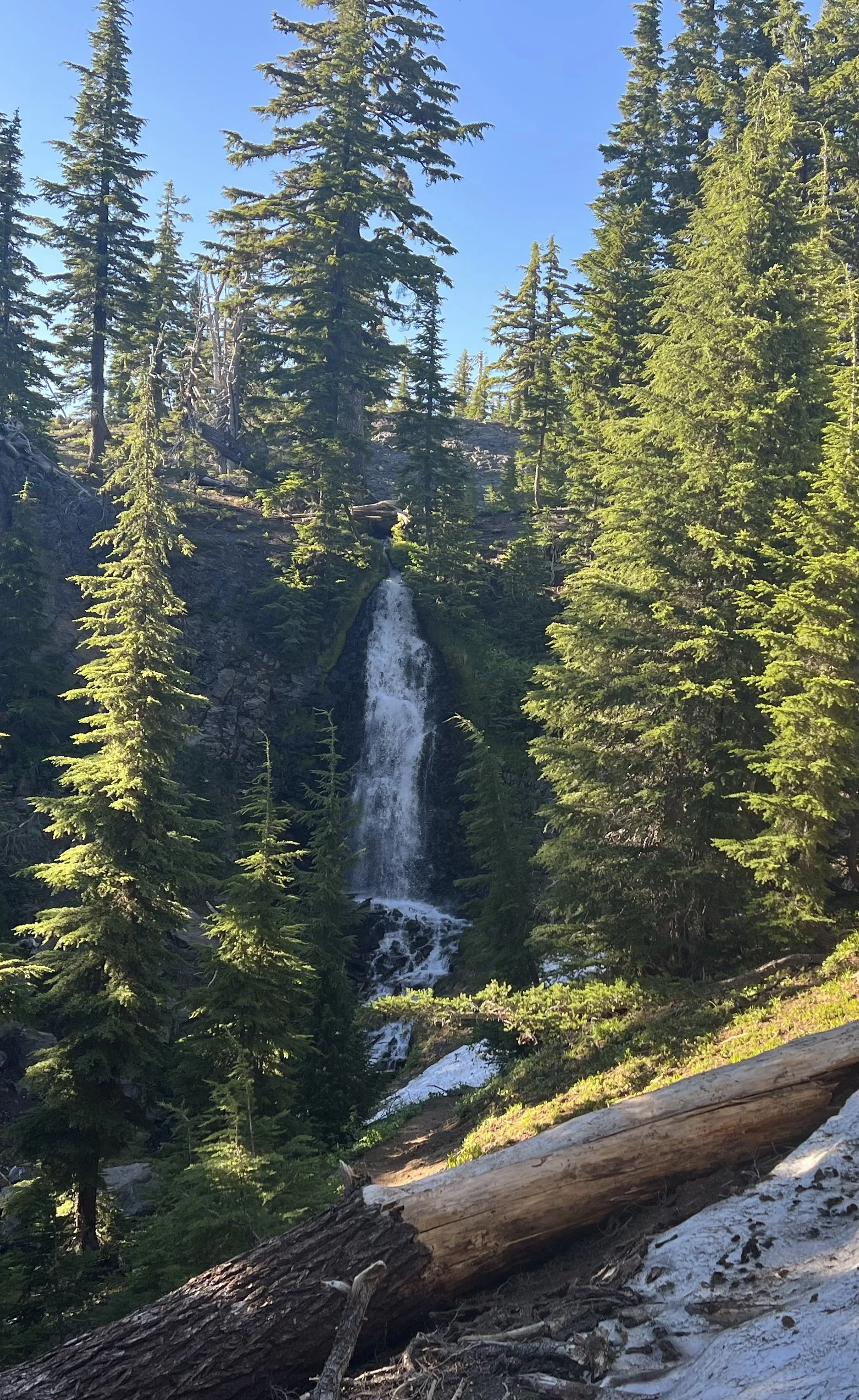
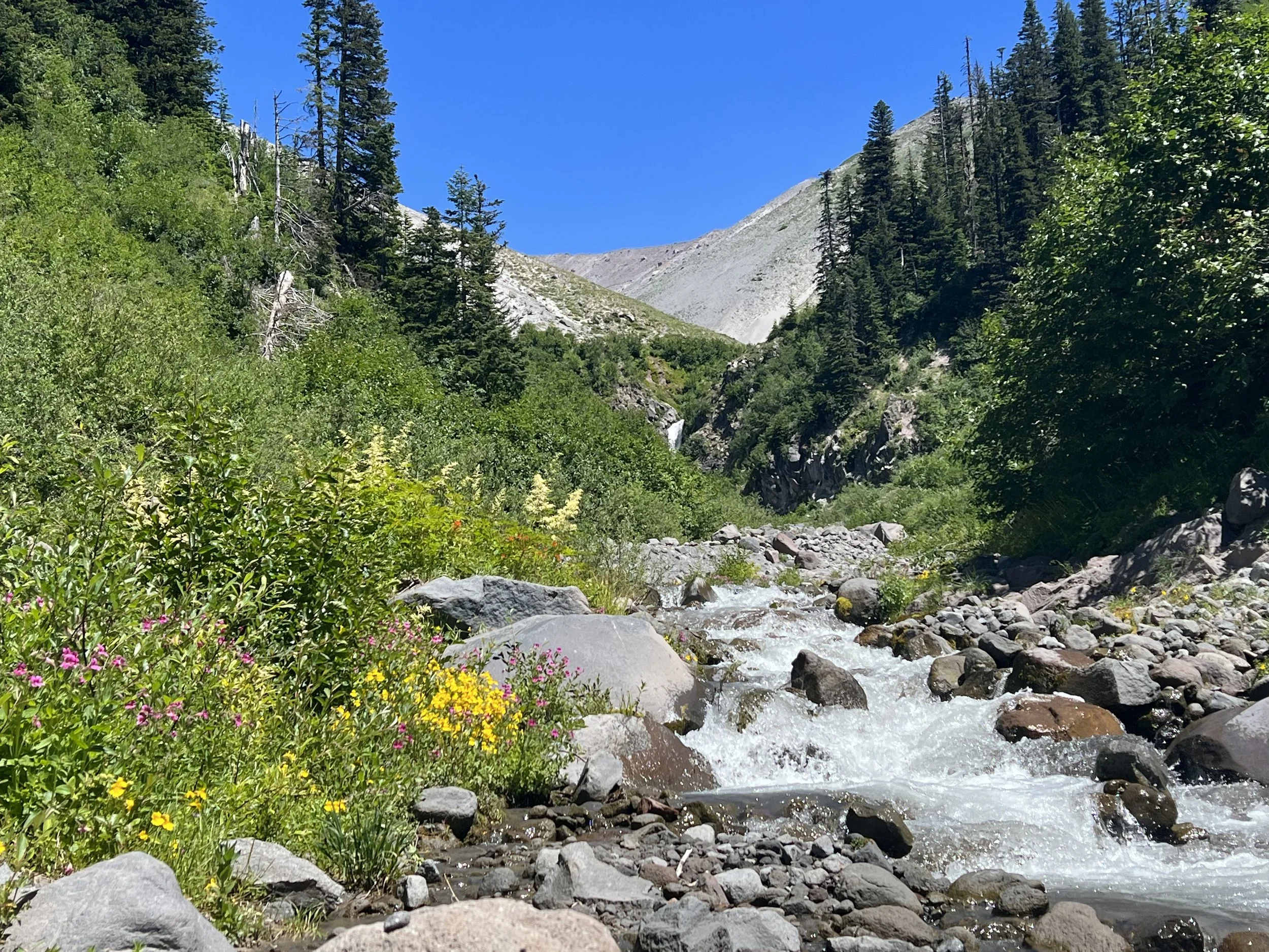
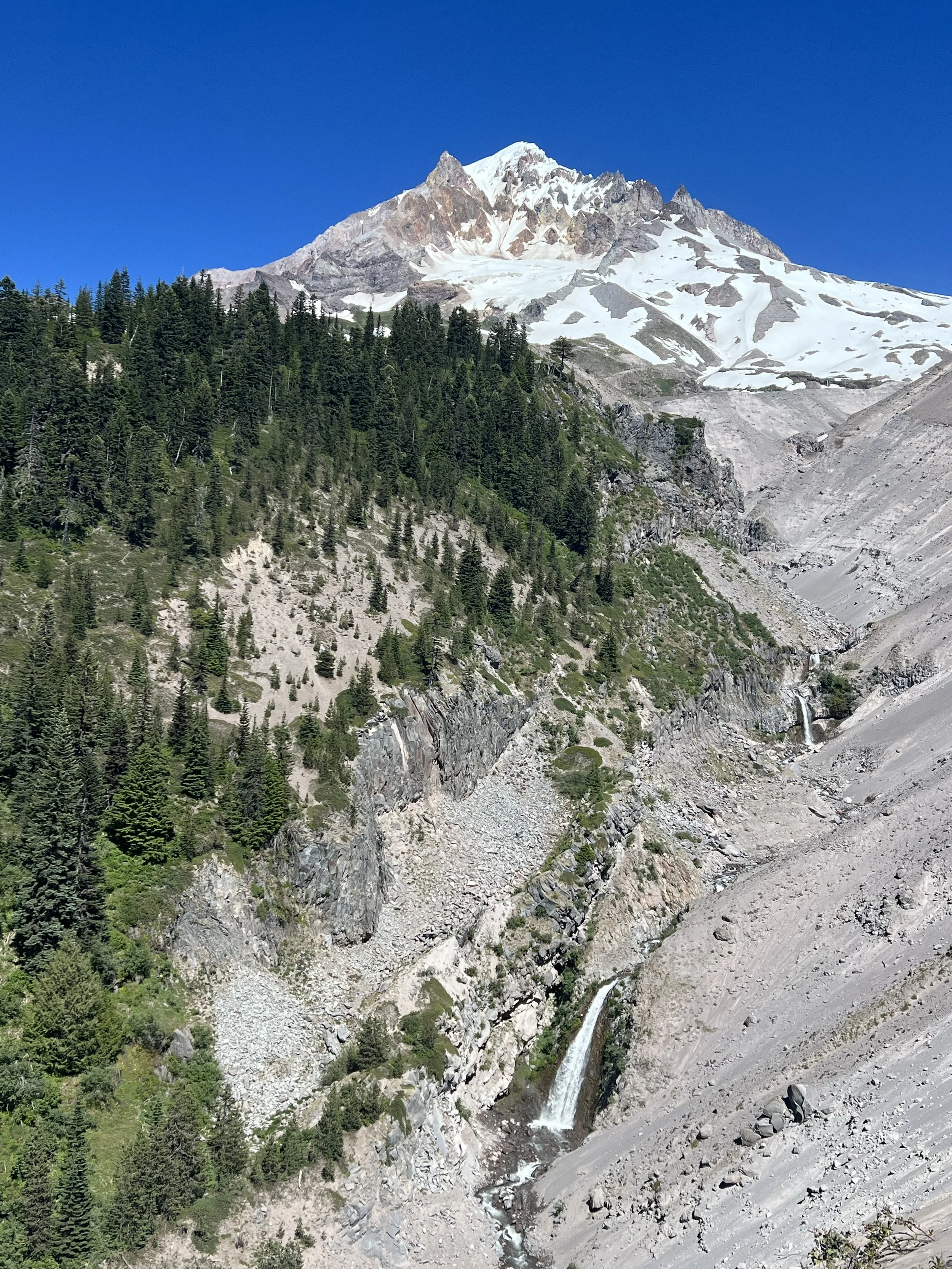
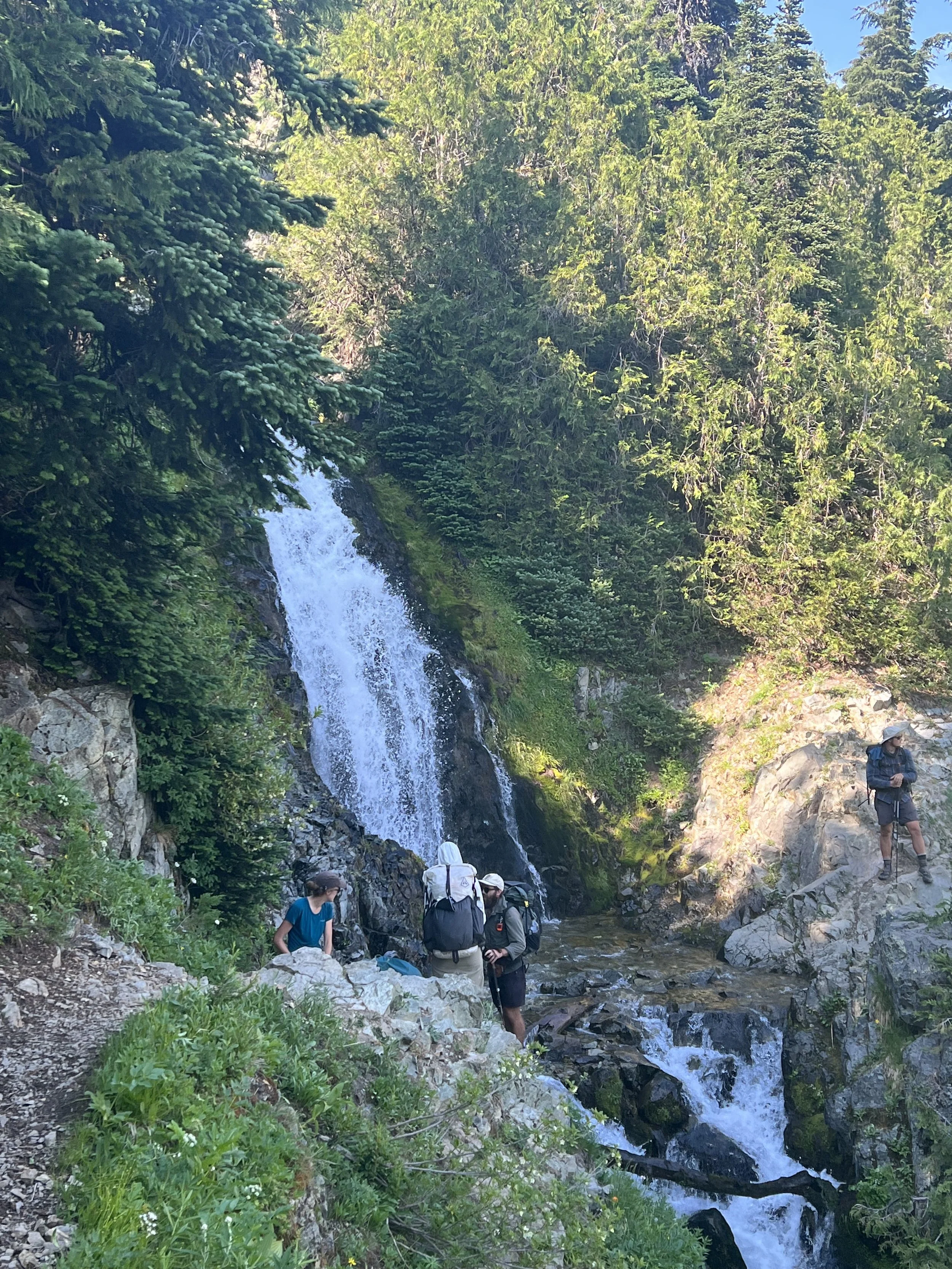
The trail north out of Timberline Lodge contoured the mountains providing spectacular views, beautiful creeks and amazing waterfalls. I could see why so many day hikers were out on a Saturday afternoon, however it made progress a little slow as so many asked if I was through hiking and wanted to chat and ask questions.
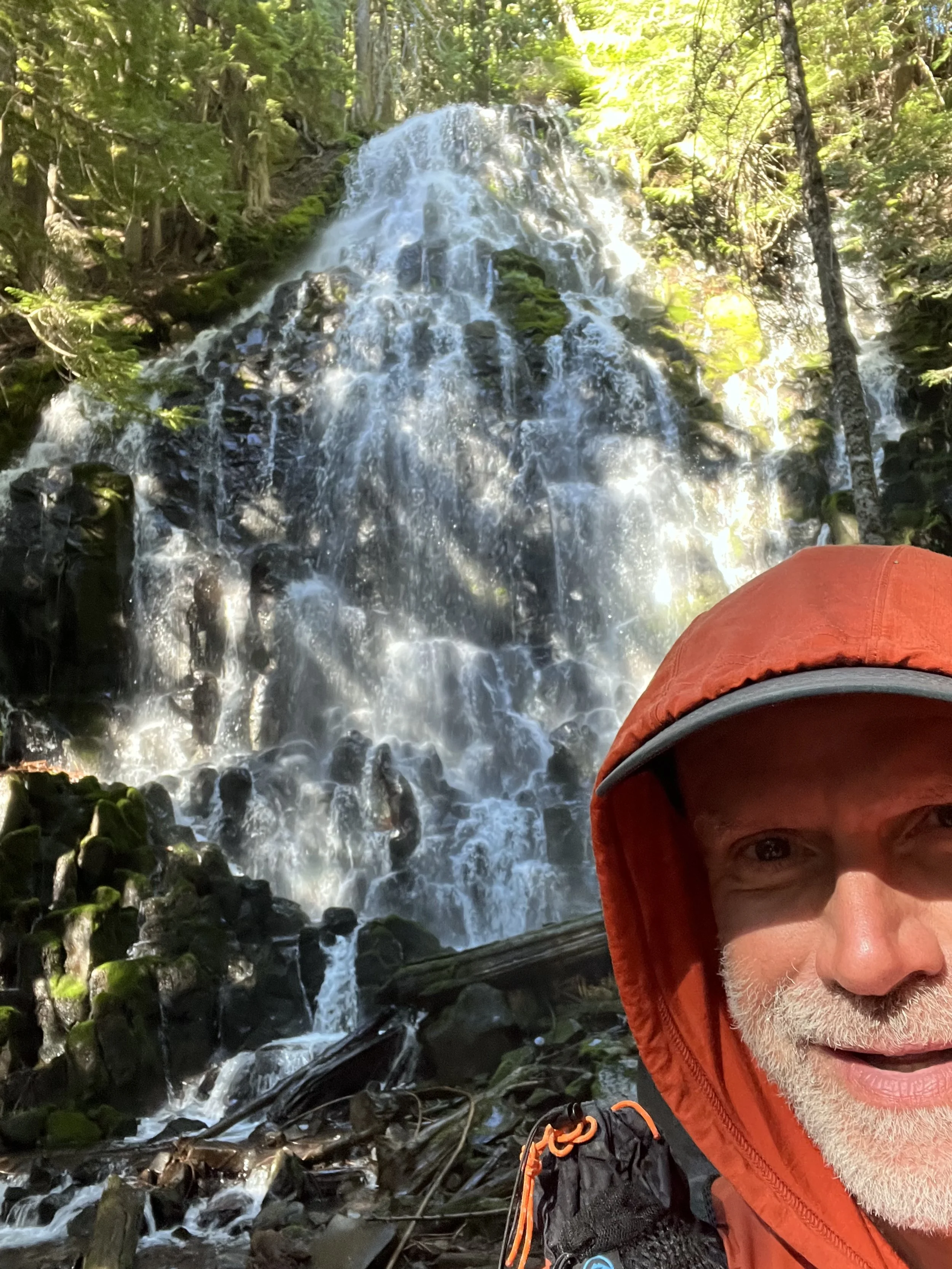
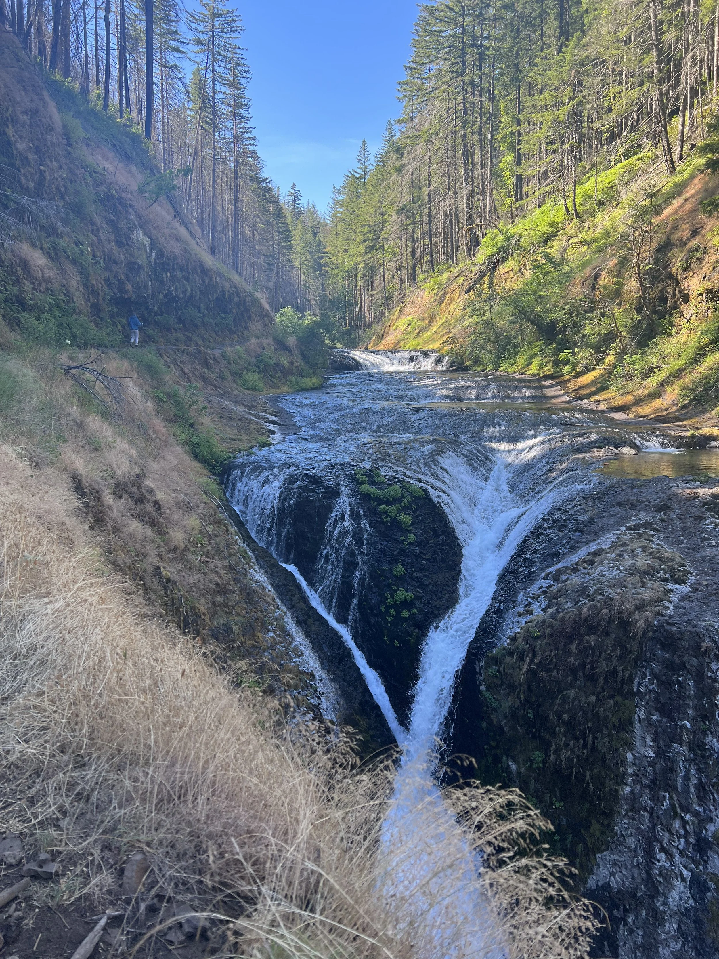
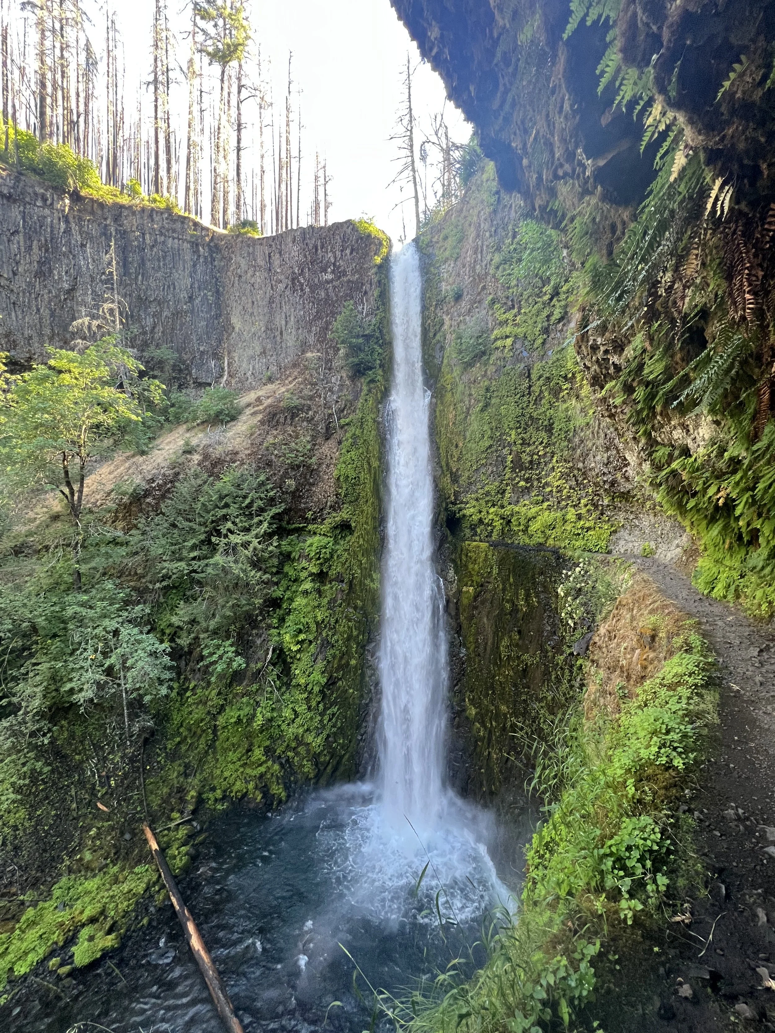
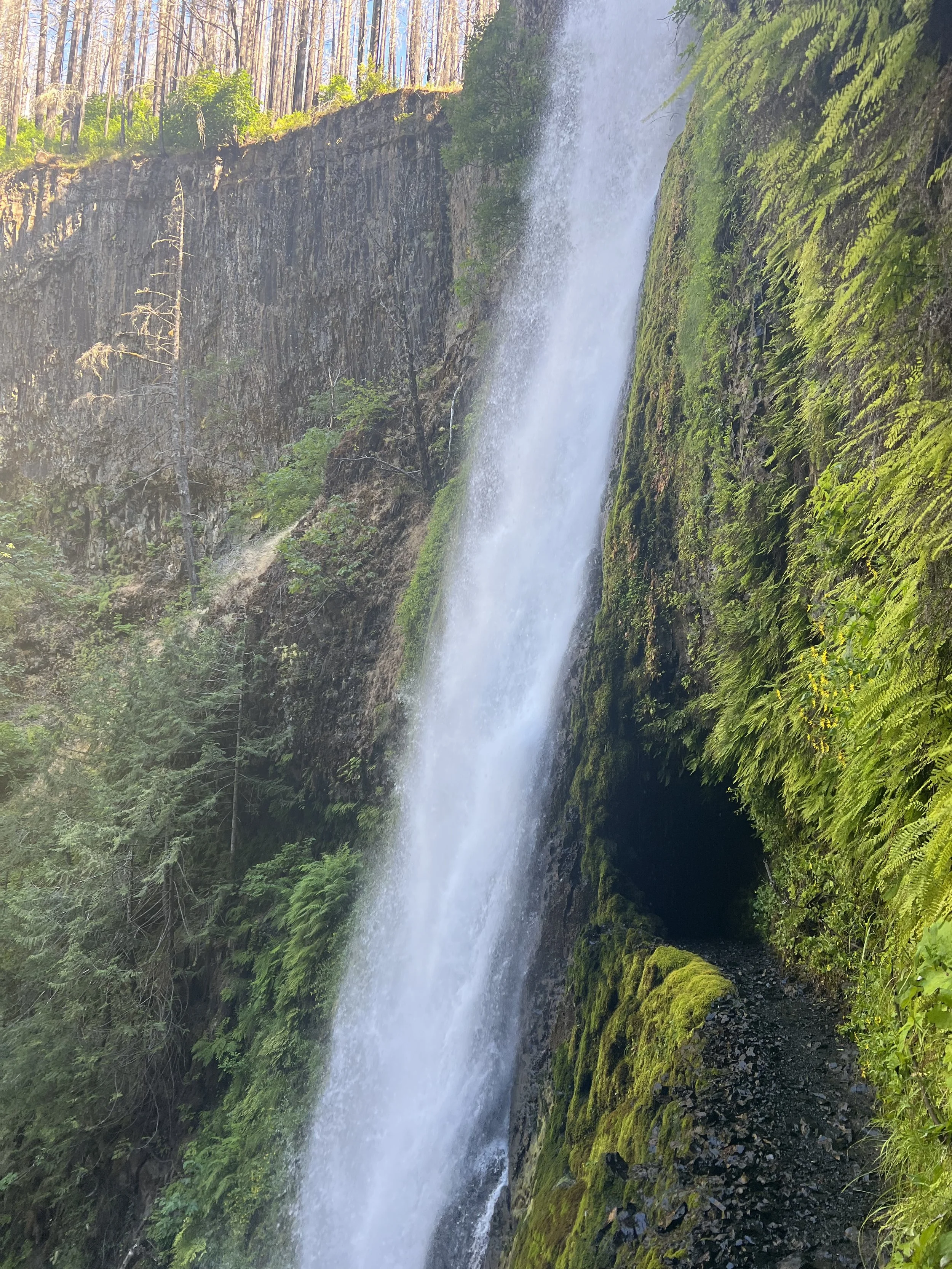
Hiking in northern Oregon you could see the snow capped mountains ahead as Washington awaited. The town of Cascade Locks was my final stop in Oregon and the descent down into the town was spectacular with some amazing waterfalls including Twister Falls where the water flows through two channels which then appear to twist together and Tunnel Falls where you walk through a tunnel behind the massive waterfall. With a narrow path cut into the cliff face I had to be careful not to look down.
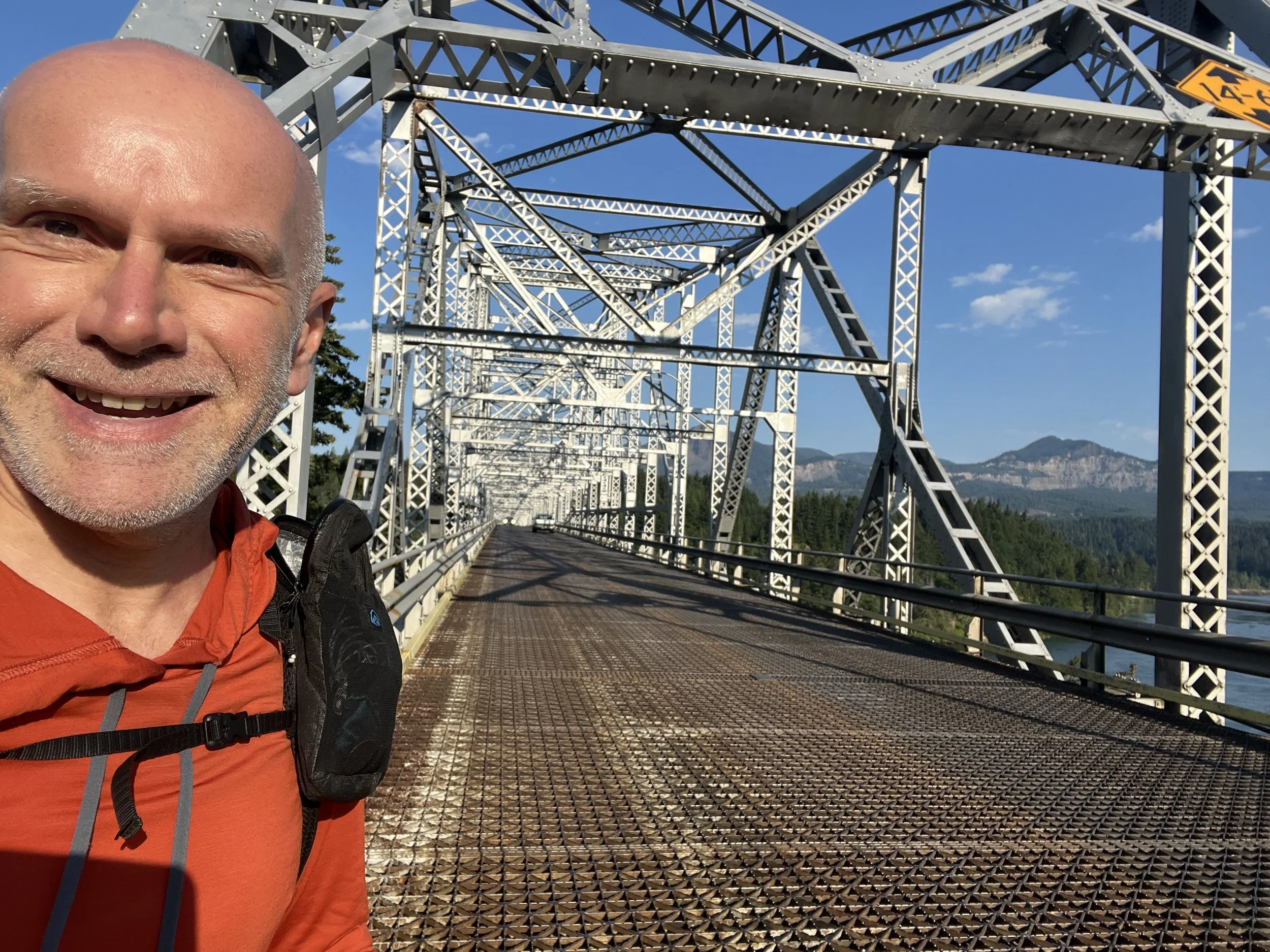
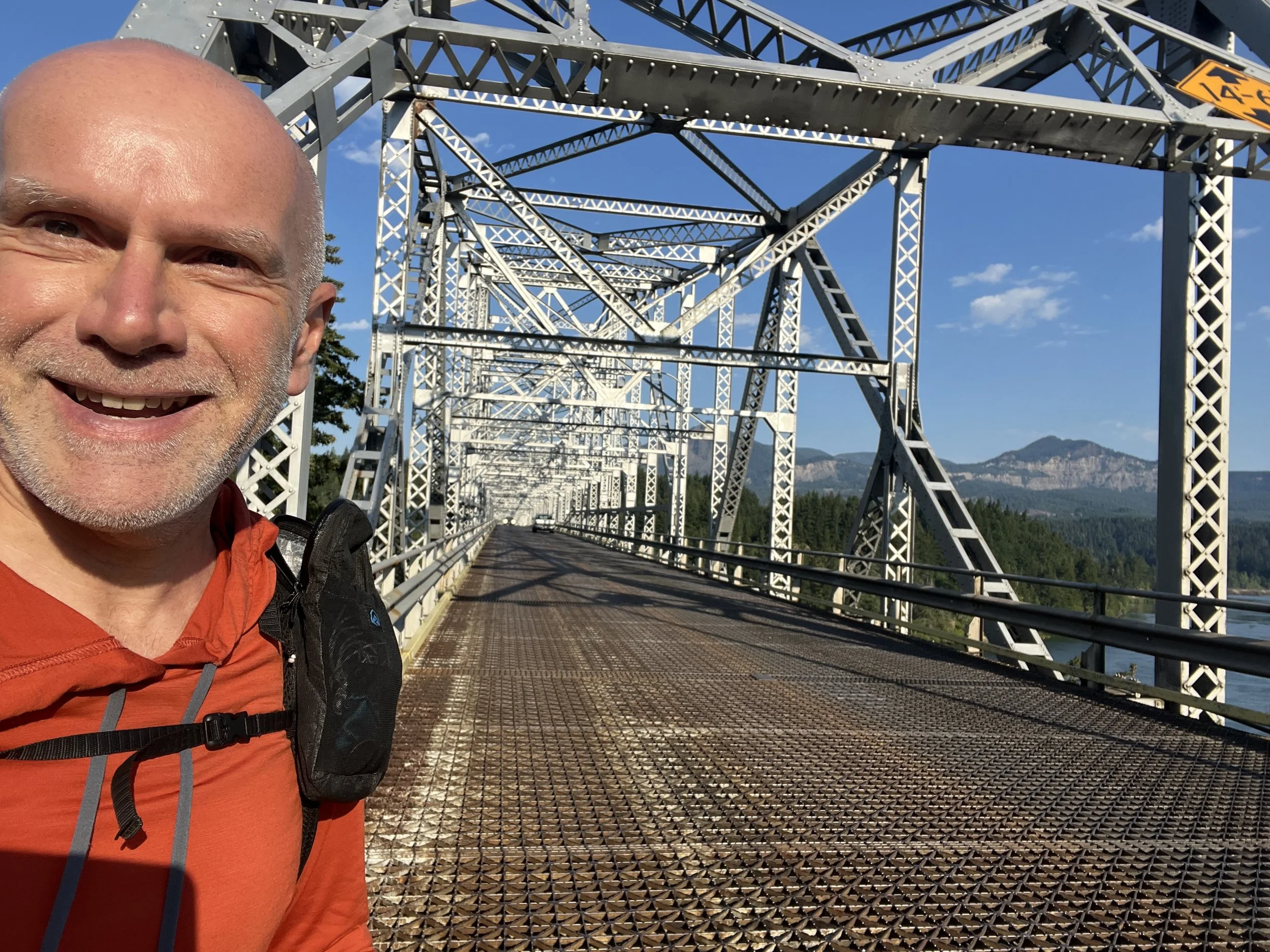
Cascade Locks provided me with a zero, only my second (on this occasion a double zero) in nearly 1000 miles. Resupplying, laundry, future plans seemed to make the time quickly fly by and I was soon hiking over The Bridge of Gods into Washington state.
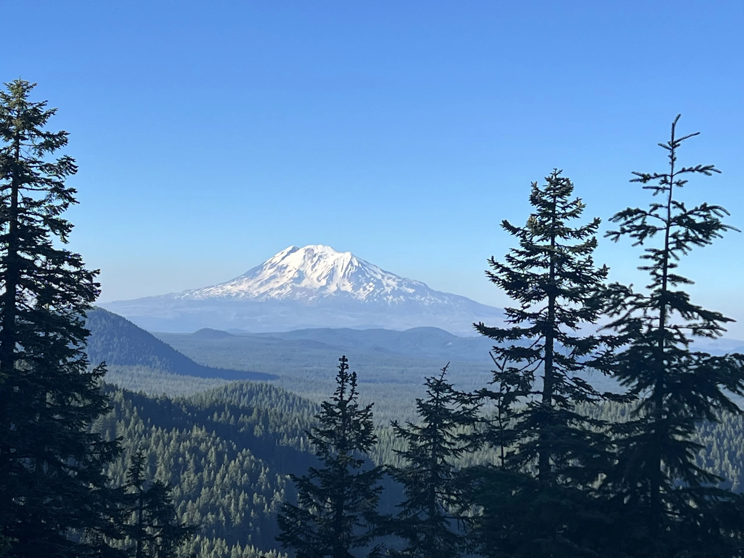
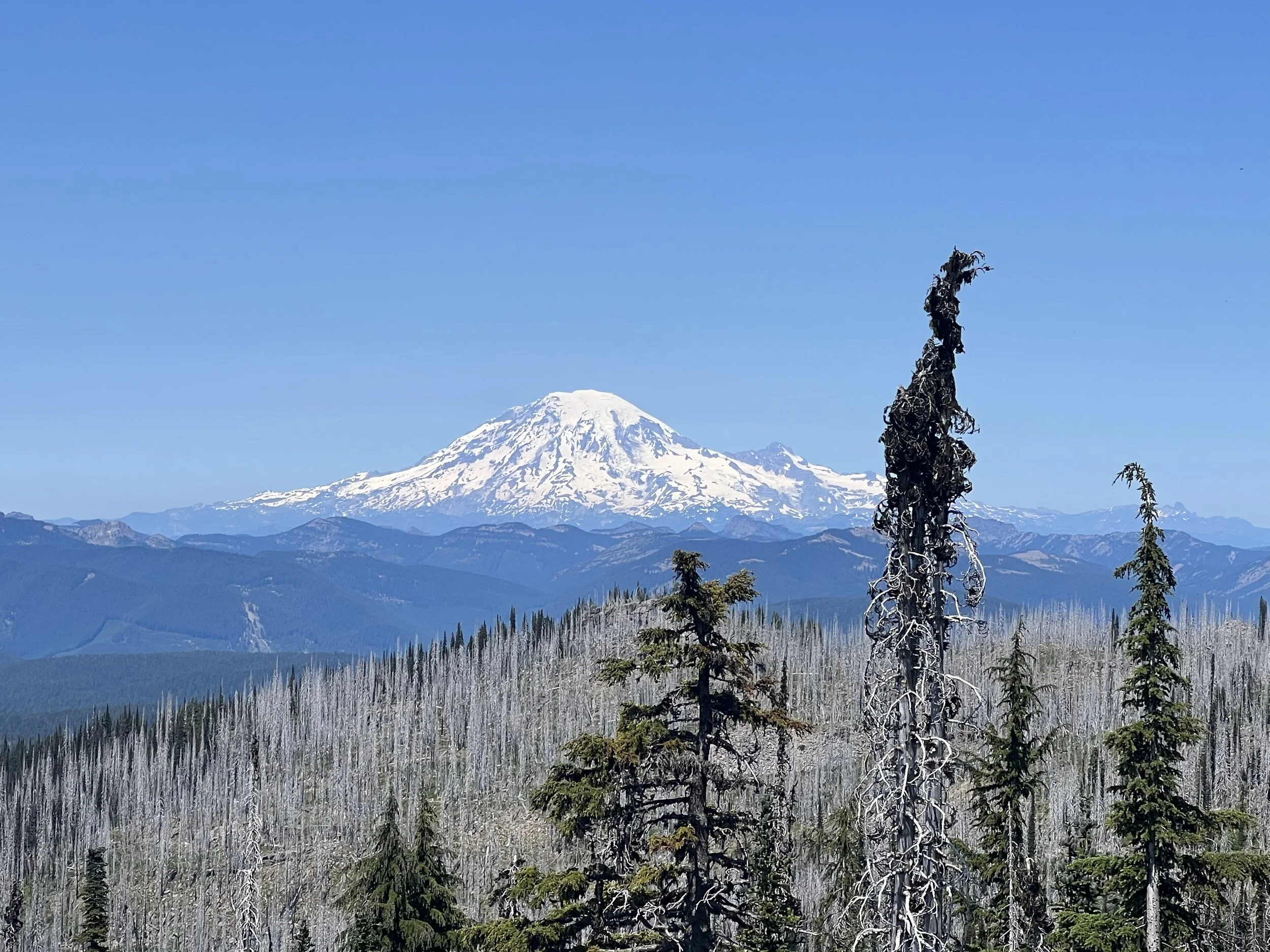
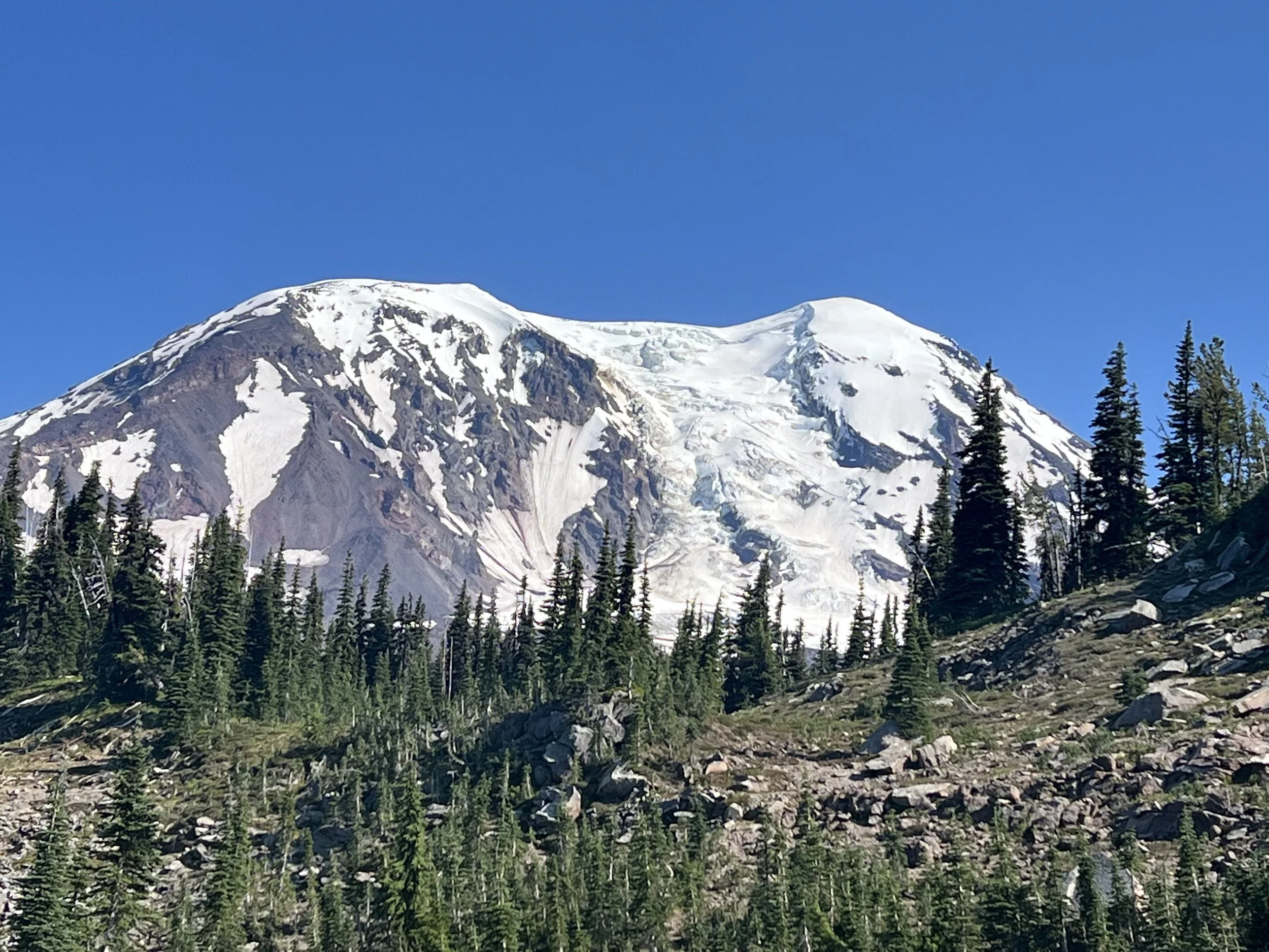
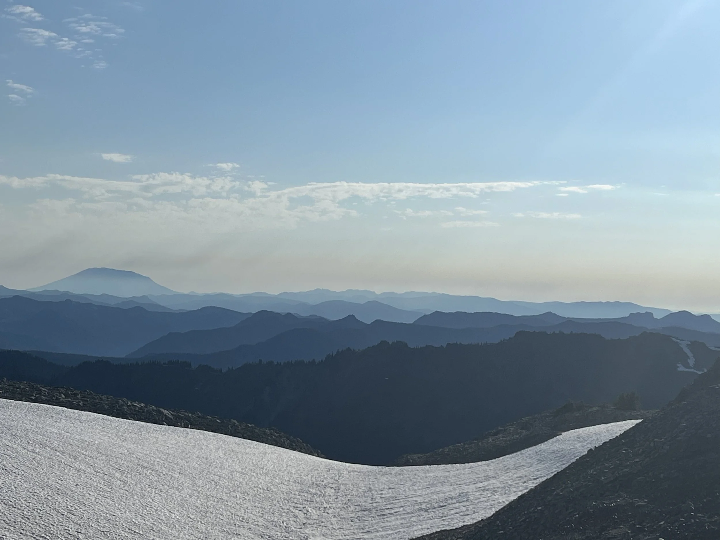
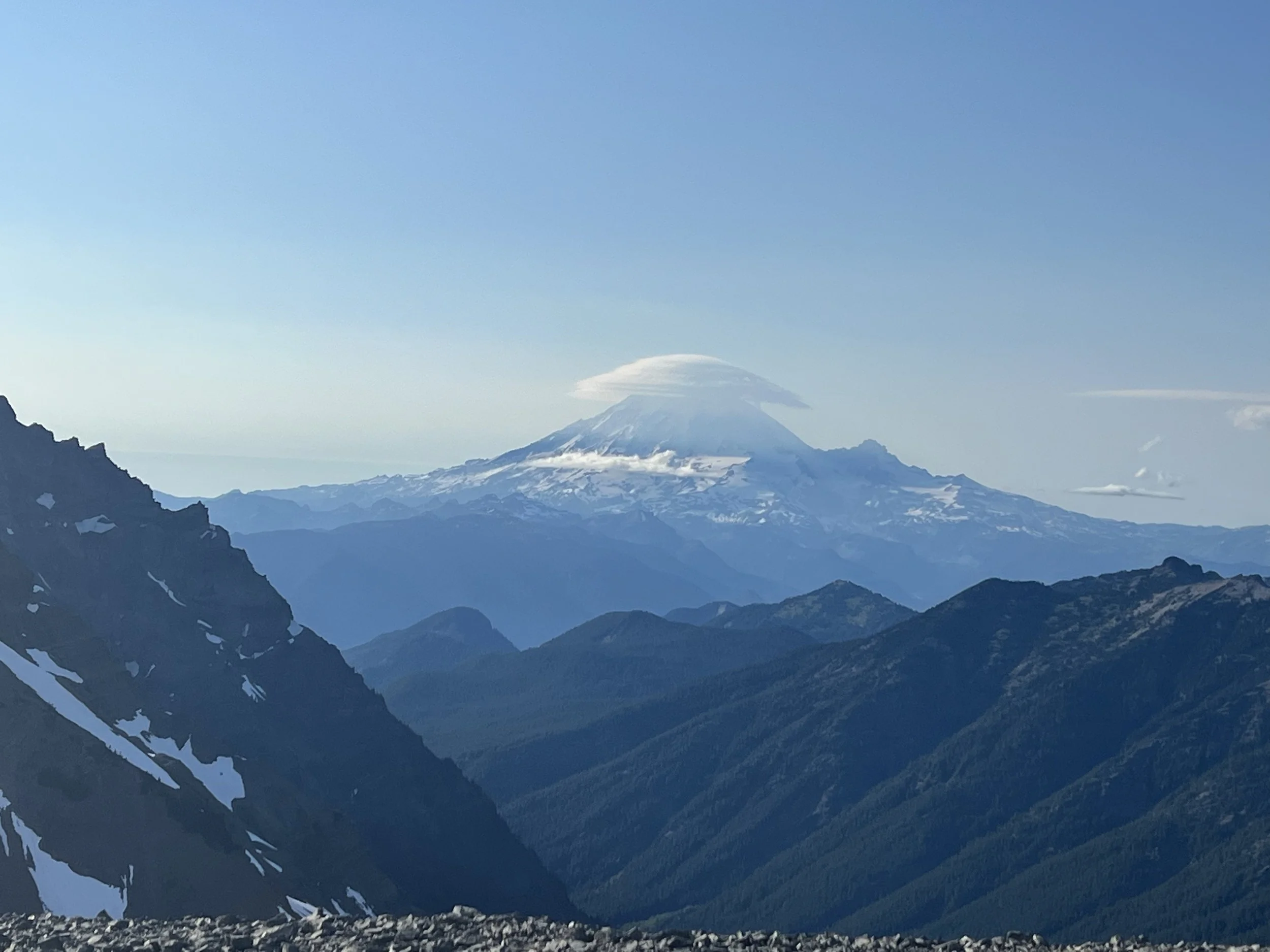
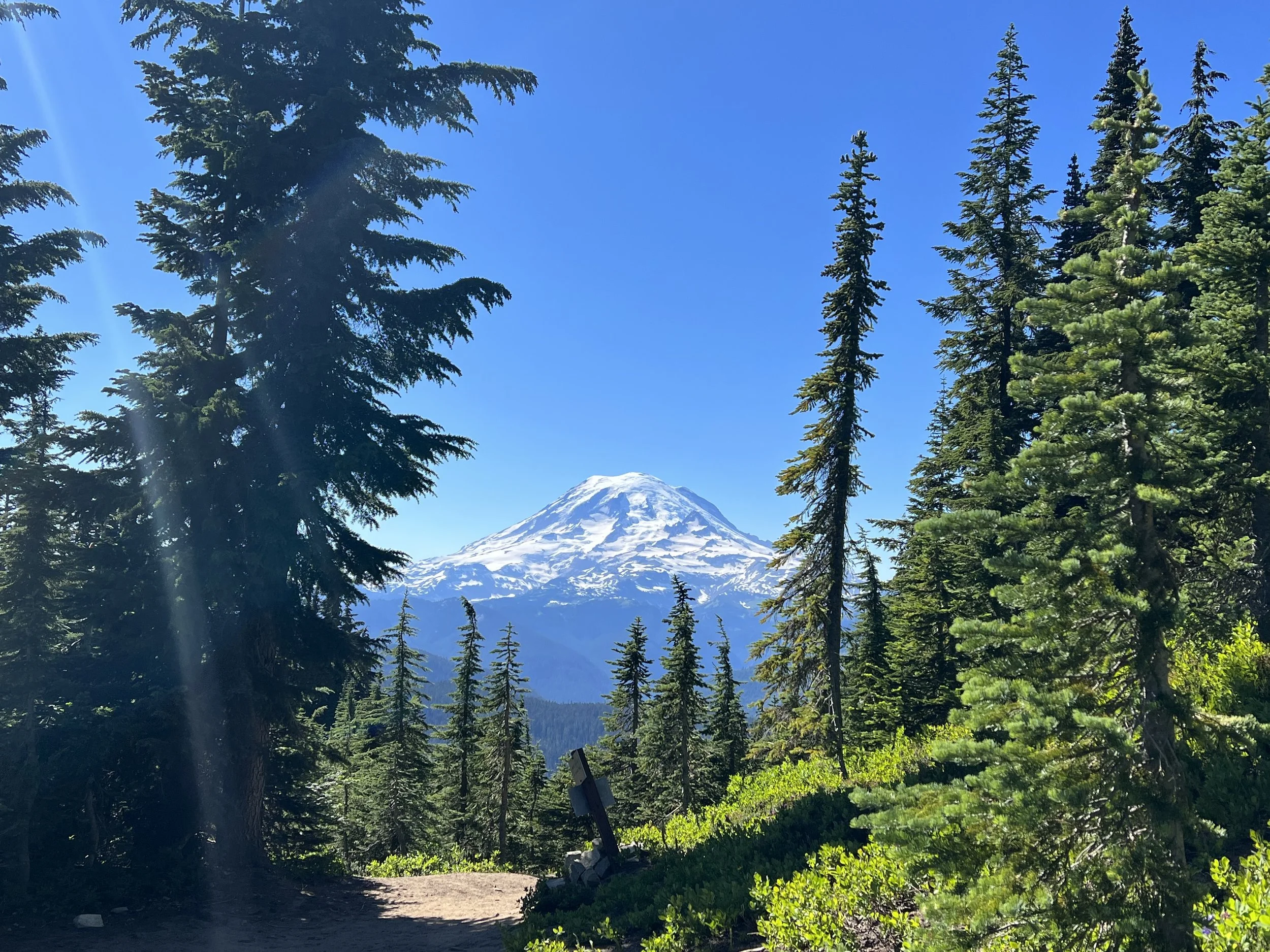
Hiking over the bridge which seemed to be made of Meccano (is that still a thing?) shaking violently every time a truck went passed and with no sidewalk I was glad to step foot in the state of Washington. Less pleasing was the forecast for temperatures in the high 30’s (C) for the next 4 days and with a lot of climbing to do. Despite the heat, climbing and mosquitos Washington didn’t disappoint with amazing views, lakes and the soon to be ever present views of Mt Helena and Mt Ranier.
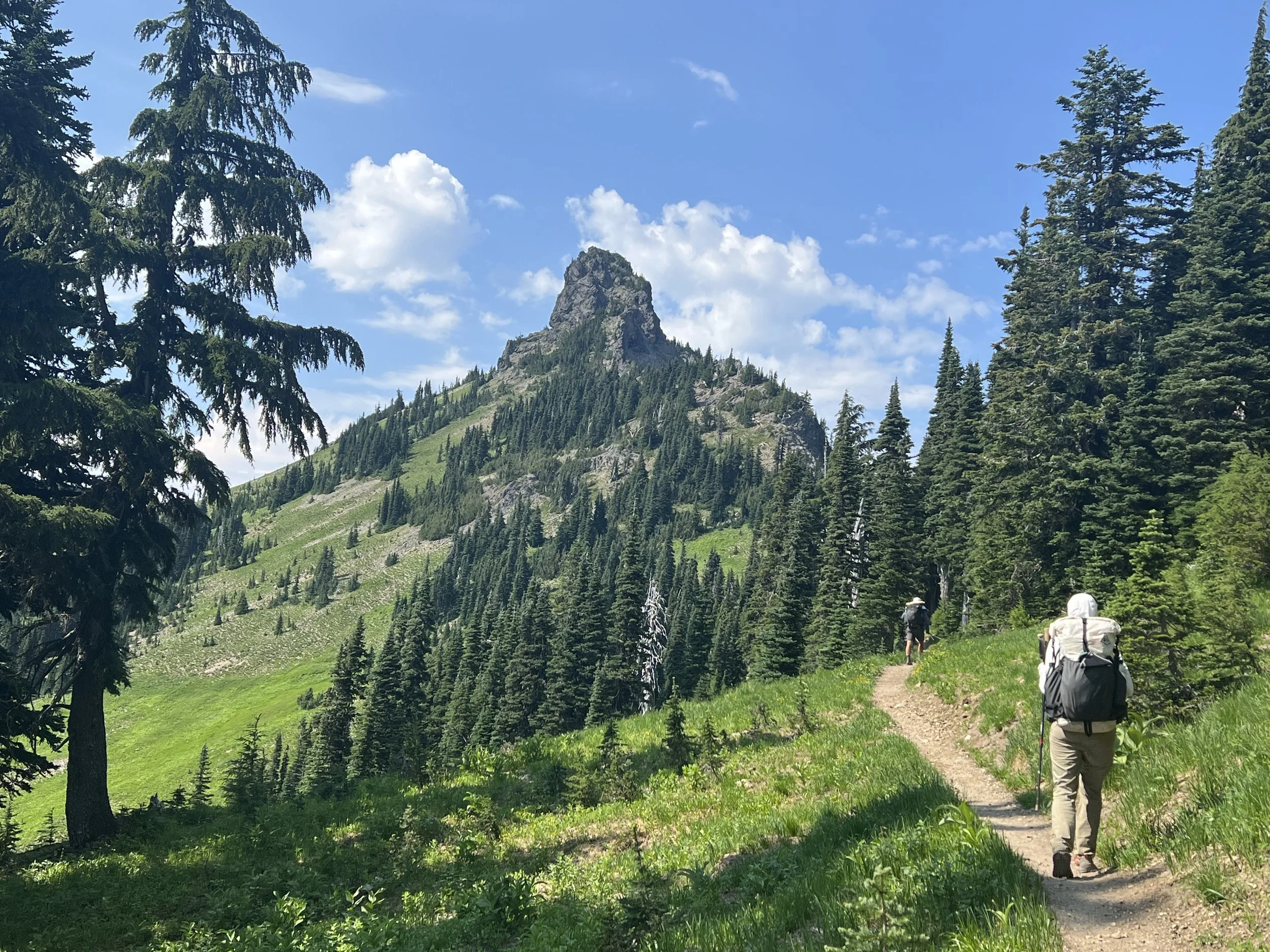
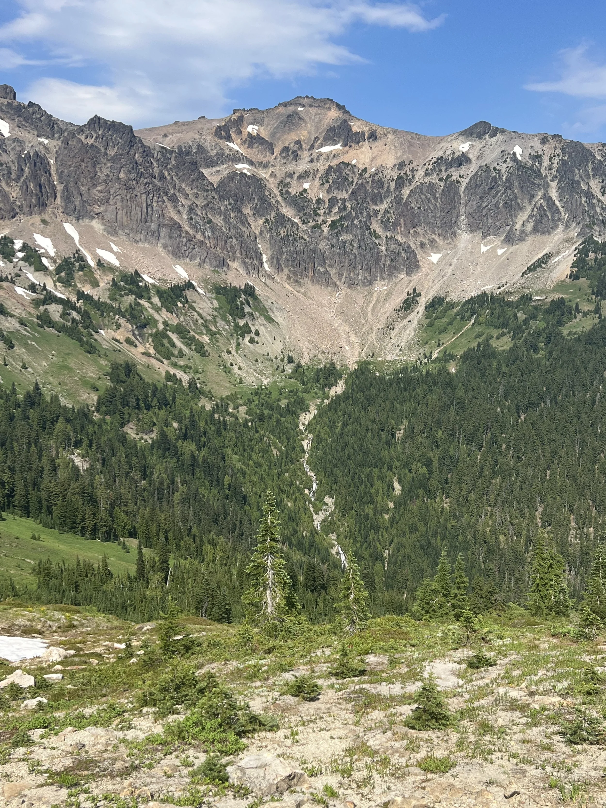
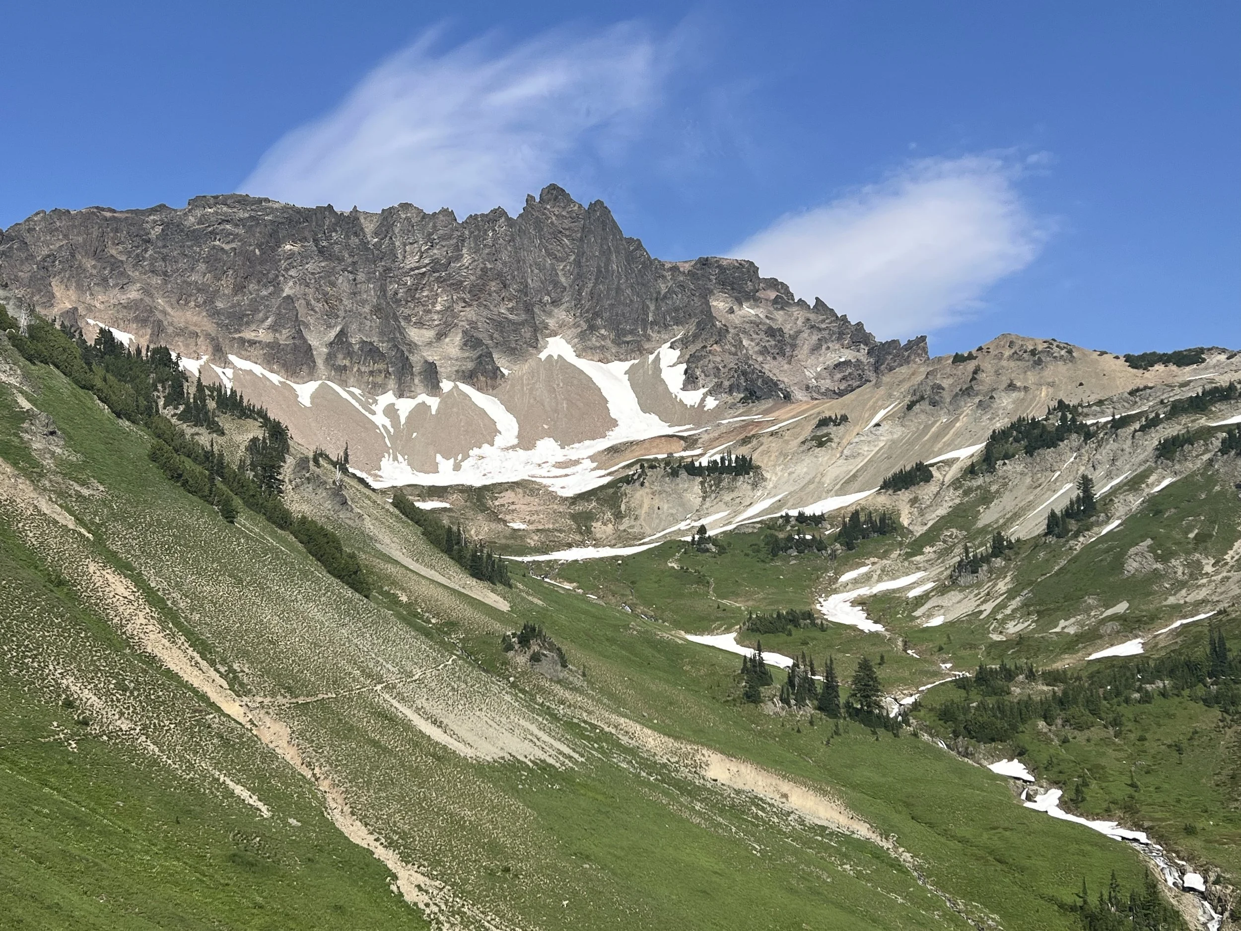
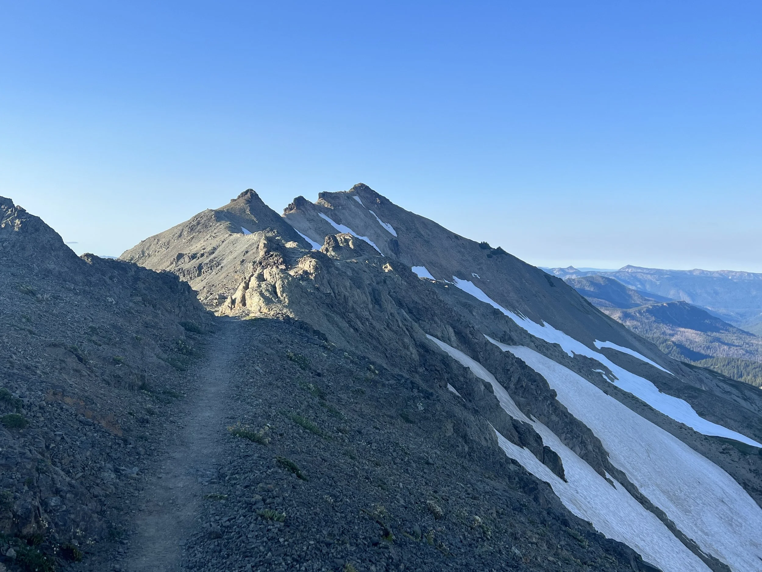
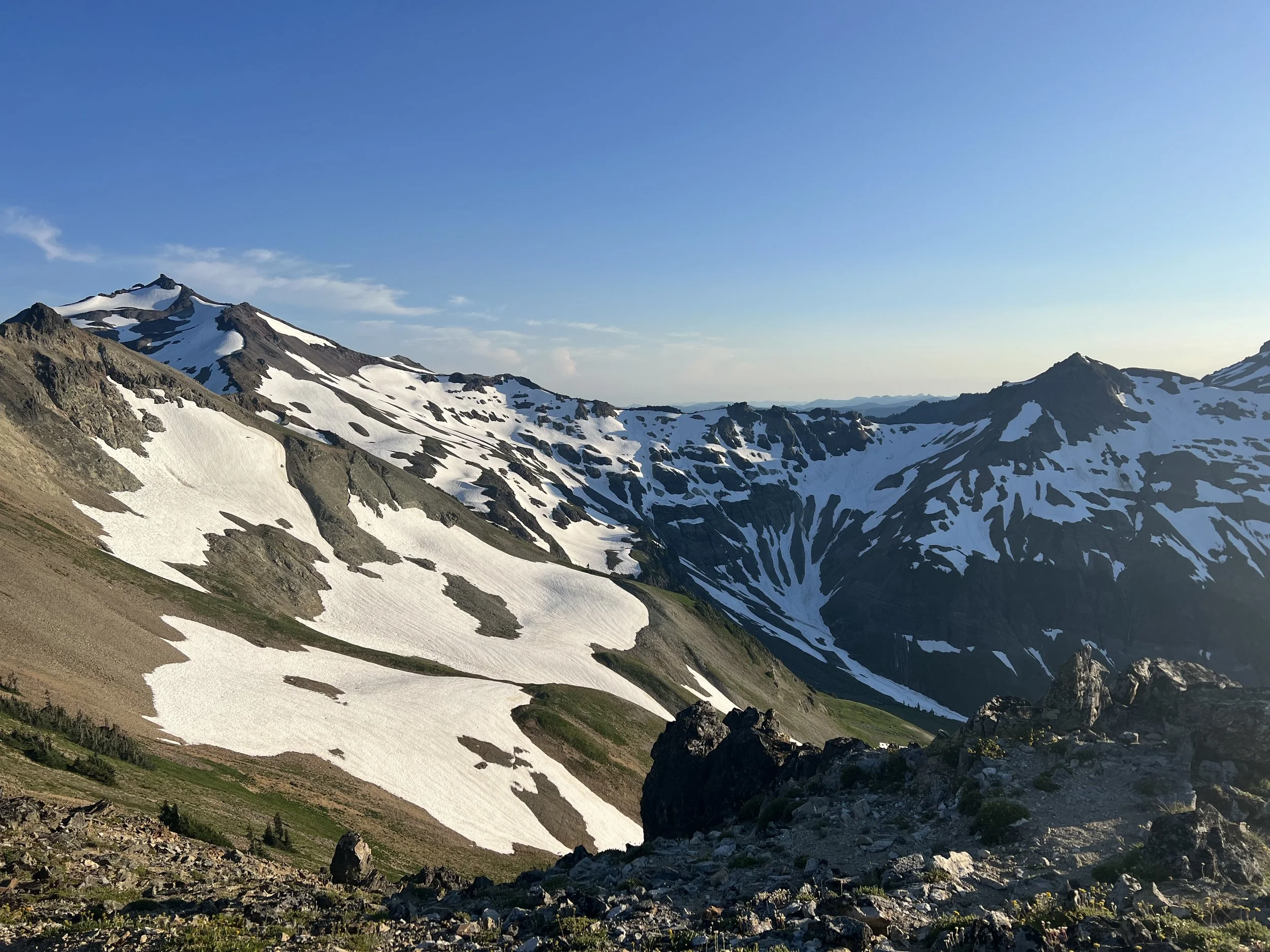
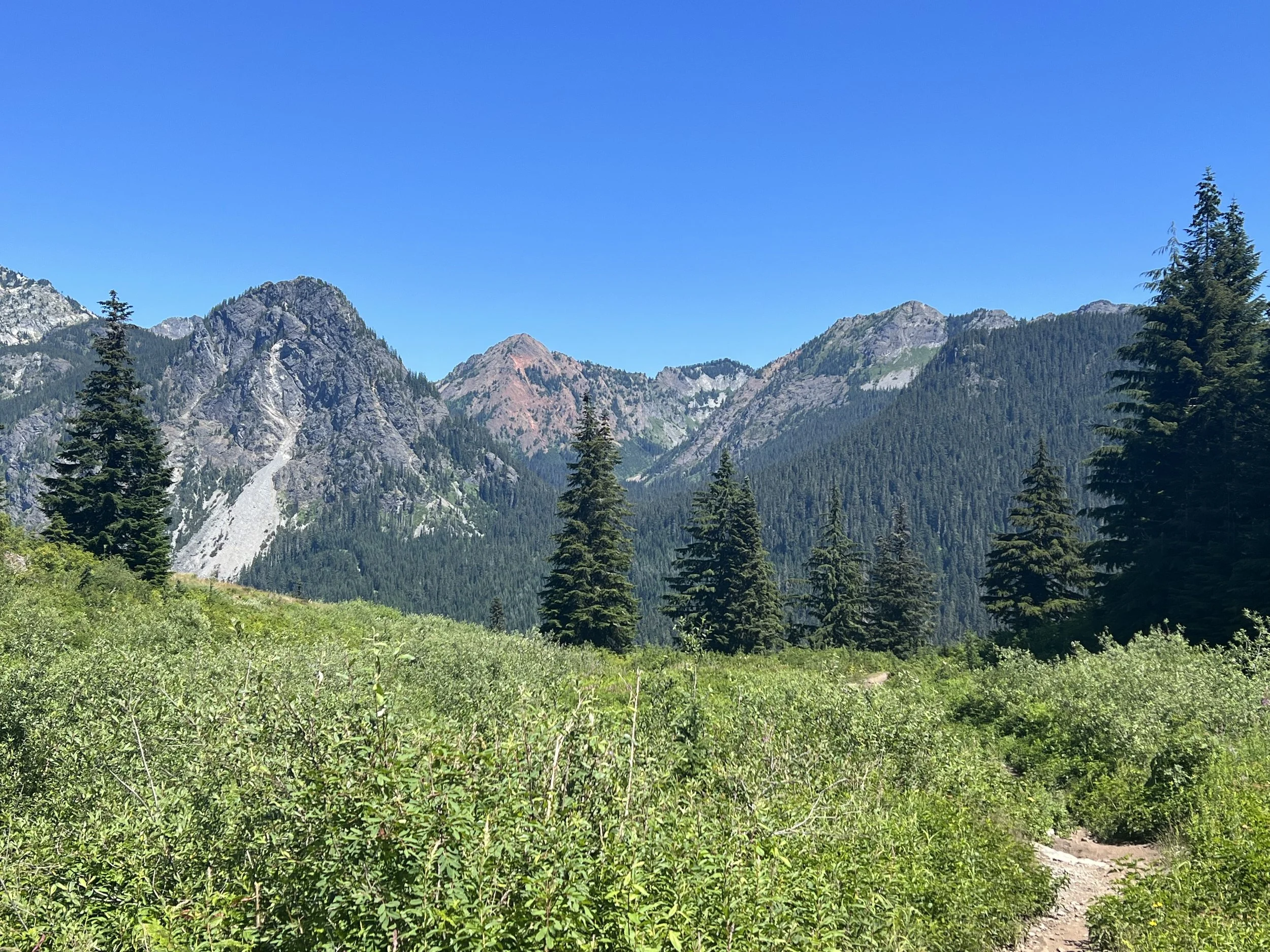
I’d been looking forward to Goat Rock Wilderness, it has a reputation for fantastic landscapes and a dramatic ridge walk. It didn’t disappoint. Emerging from the forest the environment quickly changed to rocky hillsides with amazing vistas followed by a narrow trail cut into the mountainside with occasional scrambles over narrow, rocky ridges.
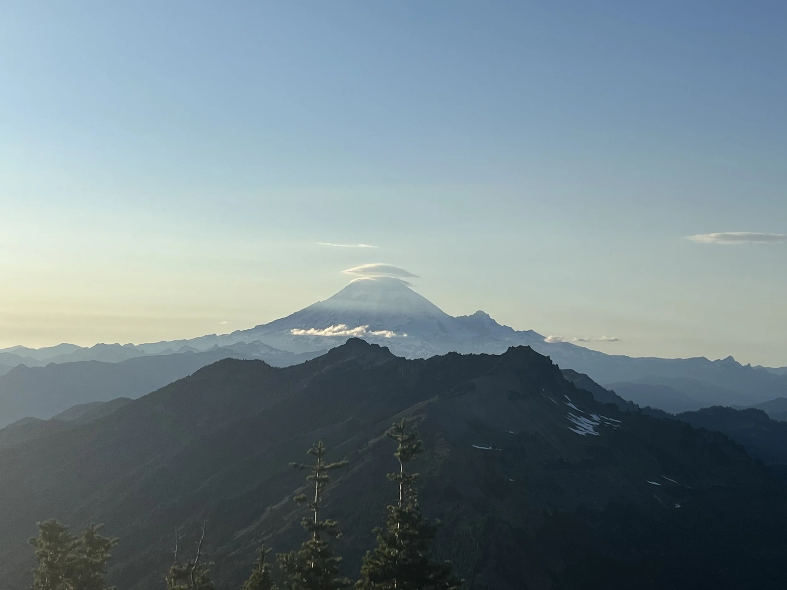
The days hike through Goat Roxk Wilderness was probably one of my favorite on trail. I’d spent most of the day hiking with people but as we reached the peak they decided to camp and I continued along the arete and enjoy the evening light. I found a great spot to camp coming off the arete with an amazing view of Mt Ranier capped in clouds. Unfortunately the wind got up in the night creating a dust storm of tiny particles that got through the mesh in my tent coating me and everything else in a red dust. It really didn’t matter as that day I only had 16 miles into White Pass - a ski resort with accommodation that remained open in summer so I had a cute studio condo in which to clean up.
I had cell service in White Pass and learnt that the PCT had been closed in part of Northern California and over 100 miles had been closed in Oregon due to forest fires and hikers were having to get off trail. There was also a small fire 1.5 miles from the PCT about 30 miles ahead of me but was just 21 acres and 40% contained. I was concerned about potential fires ahead but also felt bad for the resident of places like Seid Valley who had been so helpful (reopening the closed cafe for me) and were now having to evacuate.
A day out of White Pass the weather broke and I woke to rain on the tent and a thick mist all around, the day was to be a damp one of hiking but I’m sure a massive relief to those fighting the fires. One benefit of the rain was the mosquitos disappeared and I camped high on a ride damp but mosquito free!
The skies cleared for the remaining 45 miles into Snoqualmie Pass, another skI resort, this time with summer visitors overhead in chairlifts as they were taken up and down the mountain with a few electing to just take the chairlift up and hike down. A town means real food! Although real food of the American variety so mostly pancakes and burger. I had a burger and fries with salad for lunch but was still hungry so had a stack of pancakes with strawberries, blueberries and walnuts as well!
It’s odd sensing the end of a long and amazing journey, in a way I’m looking forward to finishing seeing family and friends and starting retirement (or is this going to be what my retirement is like?) as well as having a kitchen filled with food!
What will the final 260 miles (+ the 30 miles hike back to the trailhead) bring? How will I adjust back to ‘normal’ life? What are the next adventures already being planned? Will I ever make it back to 74kg?

