Days 120-130. And so my journey ends. . . Miles 2395 to 2653.
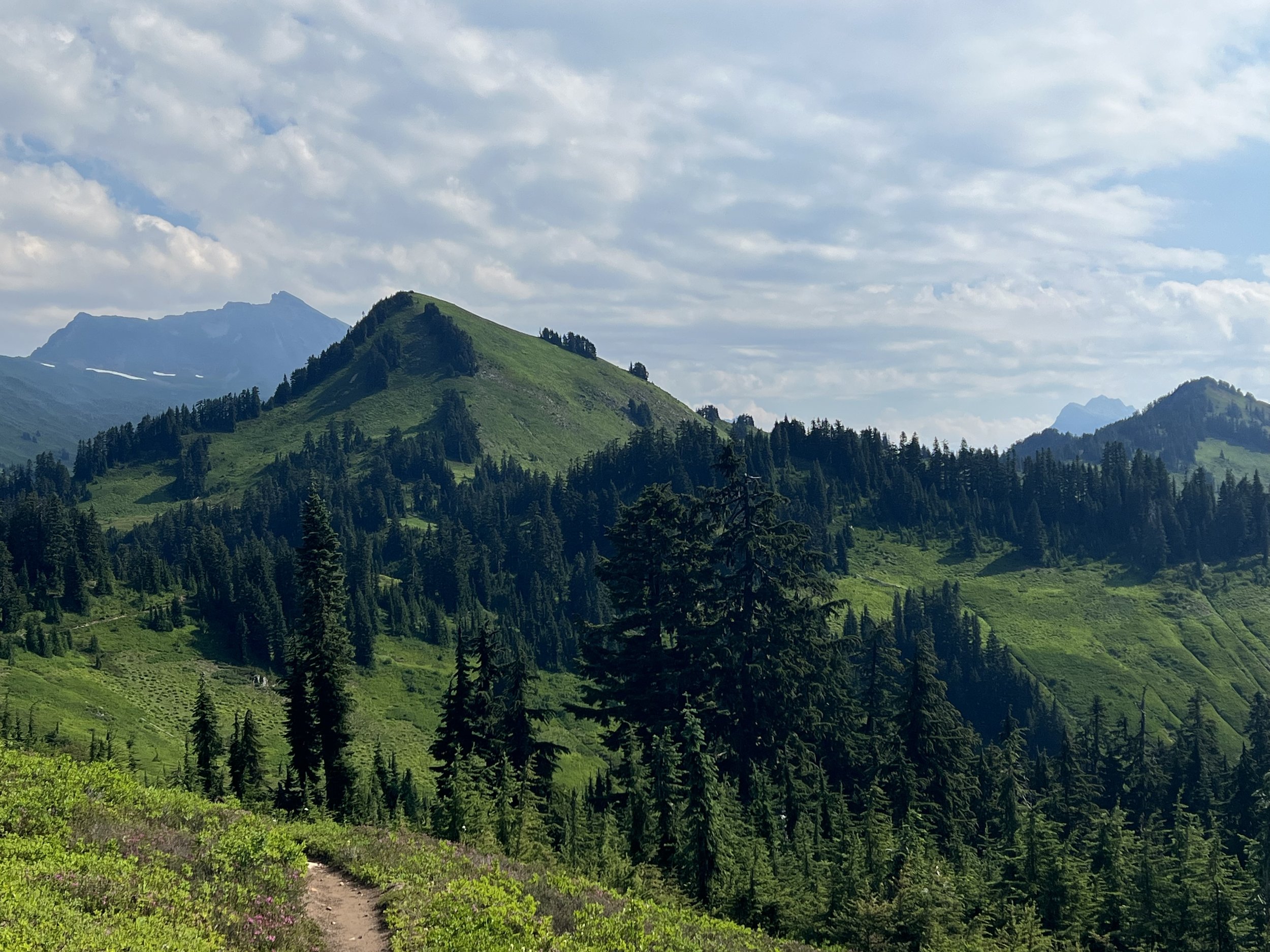
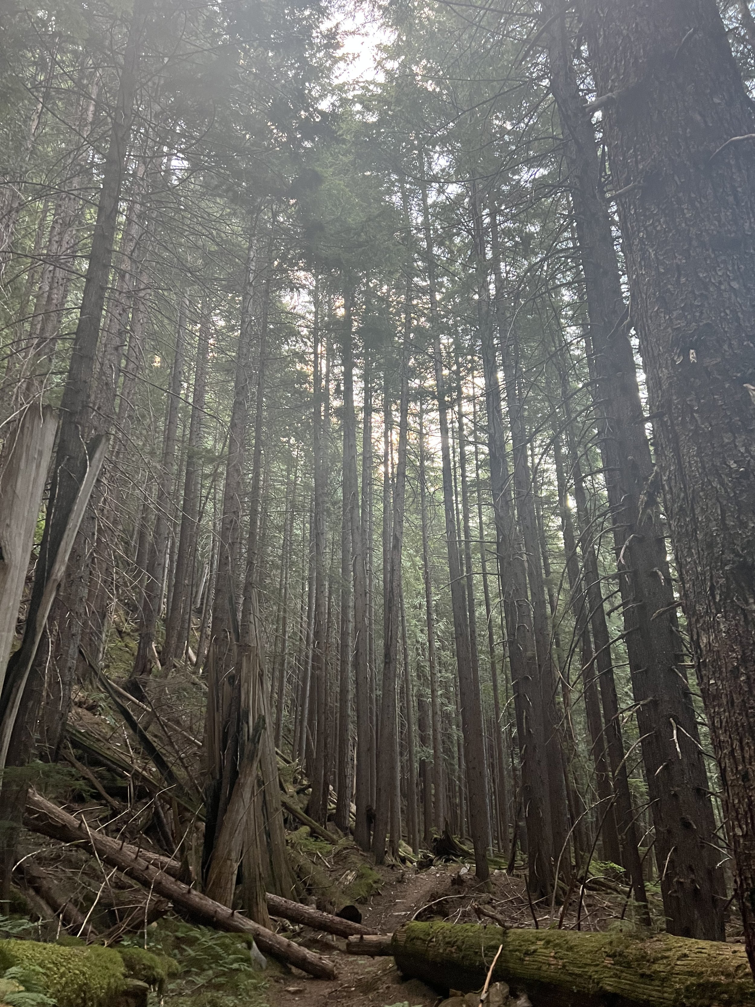
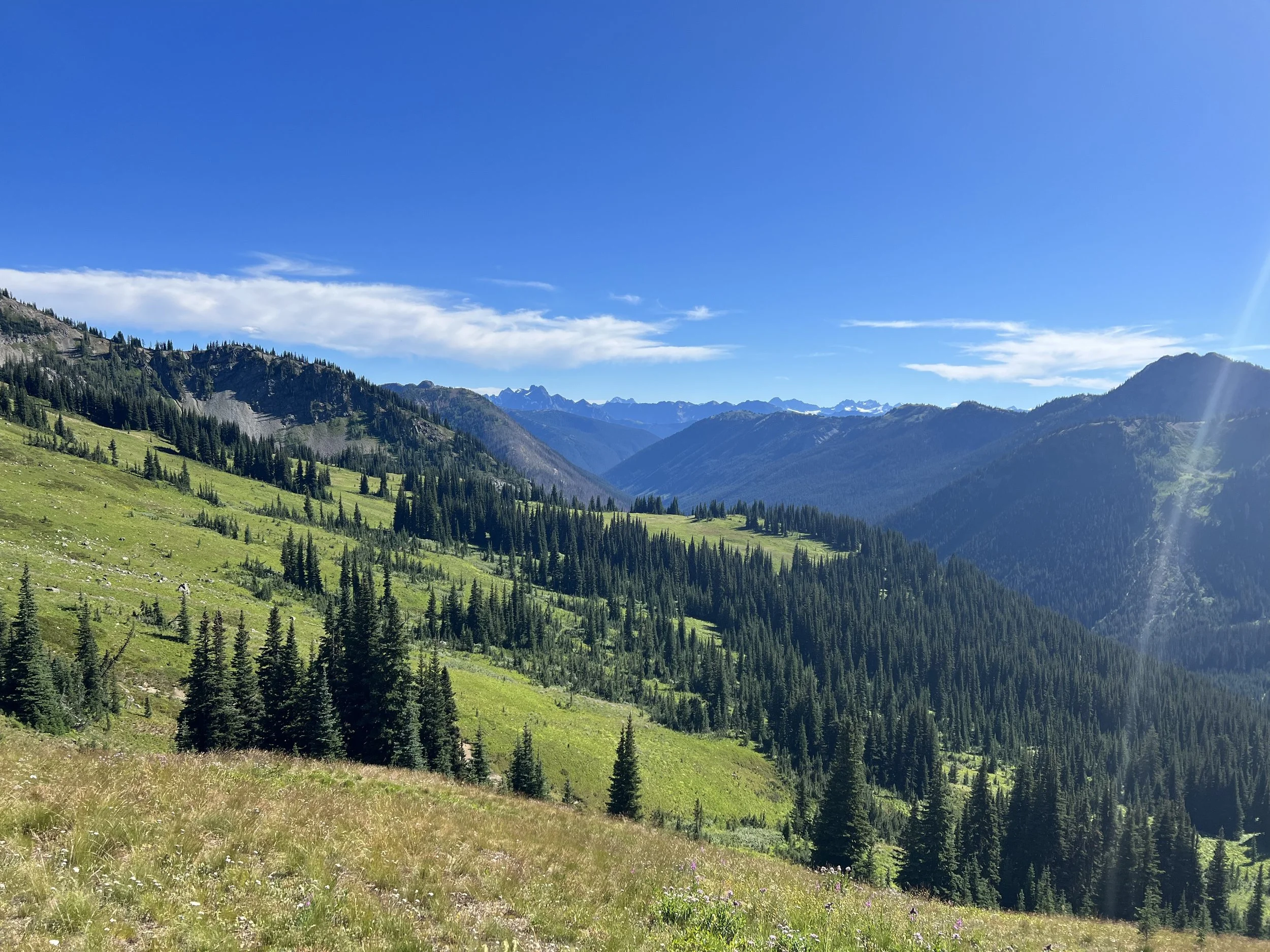
Climbing out of Snoqualmie Pass on a hot Sunday morning I was surprised by the number of day hikers but on reaching the ridge it was easy to understand why people wanted to make the 3000’ climb. The views were spectacular following a narrow ridge for a number of miles. As the day hikers turned around to head back to Snoqualmie I continued, dropping down into a valley via switchbacks and clambering over numerous blowdowns which slowed my progress. Setting up camp after only 23 miles I knew the following day would be a long one in order to get to Steven’s Pass and my next resupply pick up the day afterwards by their 5pm closing time .
Fortunately the following day proved not only beautiful and with trails clear of blowdowns I made good progress but even so it was getting dark by the time I found a camping spot after 31 miles. I slept soundly, my sleep quality in my tent has been great, much better than when I’m a hotel - I suspect it’s related to the fact that when in town there is so much external stimulation compared to a day hiking and camping. I awoke as usual to 5.30am, packed up camp and was on the trail by 6.15am. However one of the straps on my trekking poles was missing - even though it was lying right next to where I was sleeping a mouse had chewed through the strap. Ah well, I wasn’t using the straps much anyway so I cut off the strap from the other pole and headed up the trail.
I made good progress and was all set to get into Steven’s Pass the following day with only 14 miles to cover. The PCT is graded for hikers and horses so climbs tend to be a maximum of 500’ per mile, not sure why but the trail into Steven’s pass had quite a few miles that climbed 1000’ per mile. This didn’t however really slow my progress and I crossed under a series of chairlifts to arrive at Steven’s Pass mid afternoon. My resupply box contained 9 days food, my initial plan had been to carry enough food from Steven’s Pass to the end but I also had a back up option of resupplying half way having sent a resupply box to the post office in Steheken. However the timing wasn’t great, I’d arrive in Steheken early Sunday and the post office was closed until Monday morning with the next bus out not getting me back on trail until late afternoon Monday. I decided to go from Steven’s Pass to the border with no additional resupply, it meant carrying 8 days food - a very heavy pack but with the end in sight and my body well adapted to hiking it seemed like a sensible decision.
Steven’s Pass had no services open but some weekend hikers chatted as they ended their hike there and reappeared after returning to their car with some beers! After sharing the beers with a Czech couple who were also through hiking I headed off to do a few more miles before sunset.
I could certainly feel the added weight in my pack the next full day of hiking and after a long climb and a long descent I elected to partially ascend the next set of switchbacks and set up camp for the night. A nice flat camping spot, sheltered by trees meant I was asleep in moments but then woken at 2am by the crashing of thunder with lightening illuminating the whole area. Counting the seconds between lightening and thunder I was reassured the lightening was miles away but the intervals started to decrease, the lightening intensified and the pounding rain started as the storm was overhead. I was pleased to hear the intervals between lightening and thunder lengthen and thankful I wasn’t camped high on a ridge or beneath potentially unstable trees. The intense rain only lasted 20 minutes and I drifted back off to sleep. In the morning it was clear how intense the rain had been with everything soaked but as always my tent had performed remarkably and I was cosy and dry.
The air felt fresh and the temperatures cooler after the storm and even though my pack was heavy I enjoyed the climb. Reaching the ridge and looking east however I could see a plumb of smoke from what looked like a small, focused fire. A new forest fire triggered by the previous nights electrical storm most probably.
Smoke from a lightening triggered forest fire?
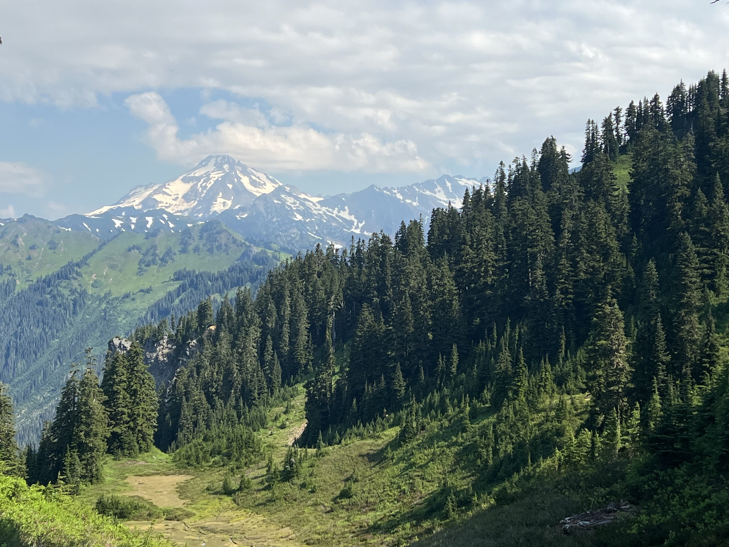
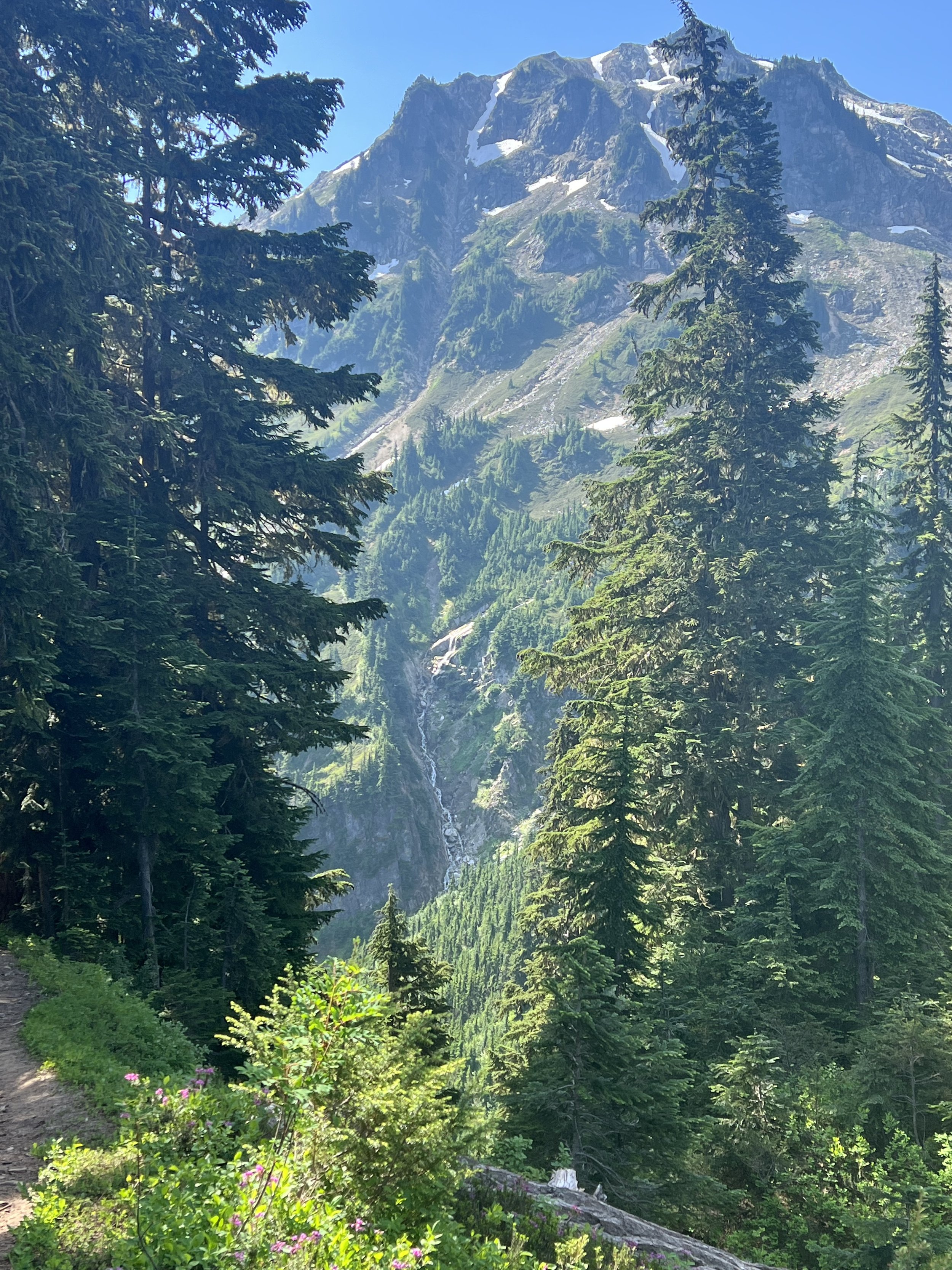
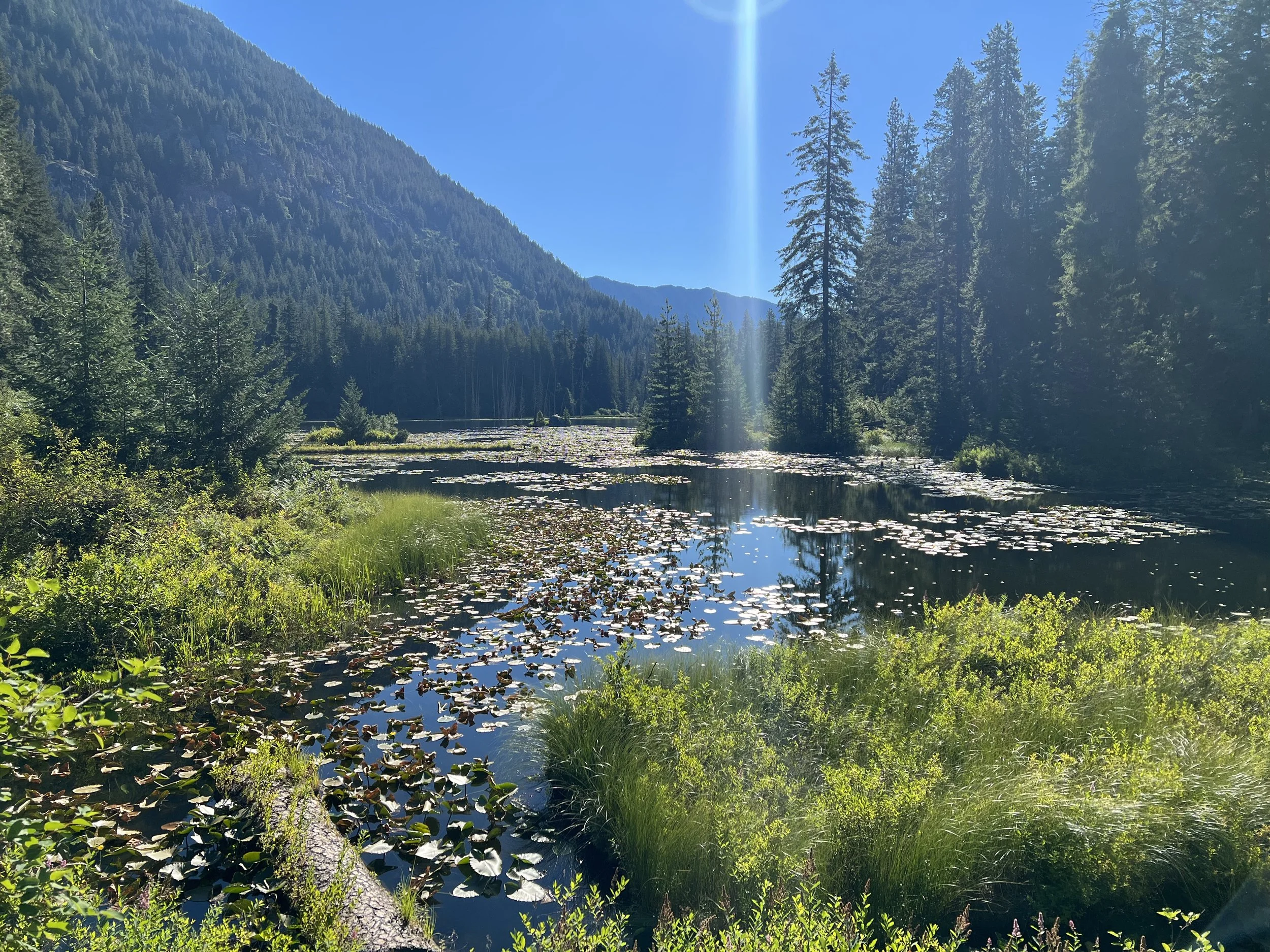
I feel like each new section of the trail becomes my favorite section but looking back Washington state has proved to be one of the major highlights. Ever present glacier capped mountains, spectacular ridges, lush green forest and alpine lakes provide stunning scenery and a variety of landscapes not seen since the Sierra.
With each mile hiked I was conscious I was coming to the end of this journey. The 100 mile marker for south bound hikers made me acutely aware of the limited time I had left on trail and I reflected back on the marker that denoted my first 100 miles on trail some four months ago. Back then the idea of finishing seemed abstract with so many unknowns and challenges ahead and knowing the success rate was limited I couldn’t even imagine what it would be like to finish.
A few challenges still awaited including the Kennedy Creek crossing. I’d become use to wading through fast flowing thigh deep creeks or balancing across logs to keep my feet dry but the Kennedy Creek crossing proved to be on another level. A log was positioned diagonally partially across the creek, mostly dry but with water flowing over the last few meters, there was then a gap to a large rock on the other side of the creek. Having spoken to some south bound hikers I knew some had elected to wade through the creek lower down where it split and was flowing slightly slower while others had used the log to cross jumping the gap between log and rock. I arrived late in the day when the creek was flowing at its fastest due to snow melt in the afternoon sun. I decided to make the crossing on the log and undid the straps on my backpack so I could ditch it if I fell into the fast moving creek. The log was narrow but stable, however the gap between the end of the log and the rock on the far shore didn’t become apparent until you were two thirds of the way across the log as it was positioned diagonally to the river. It seemed like a massive gap to jump but the rock had a ledge to land on with a wall ahead of it so a Spider-Man jump landing on the ledge and putting weight on the wall with your hands was possible. I made the leap and landed firmly and safely. Four months prior I’d have been nervous about even the log walk, since then my balance, mobility and confidence have all increased so much it just felt like the right thing to do.
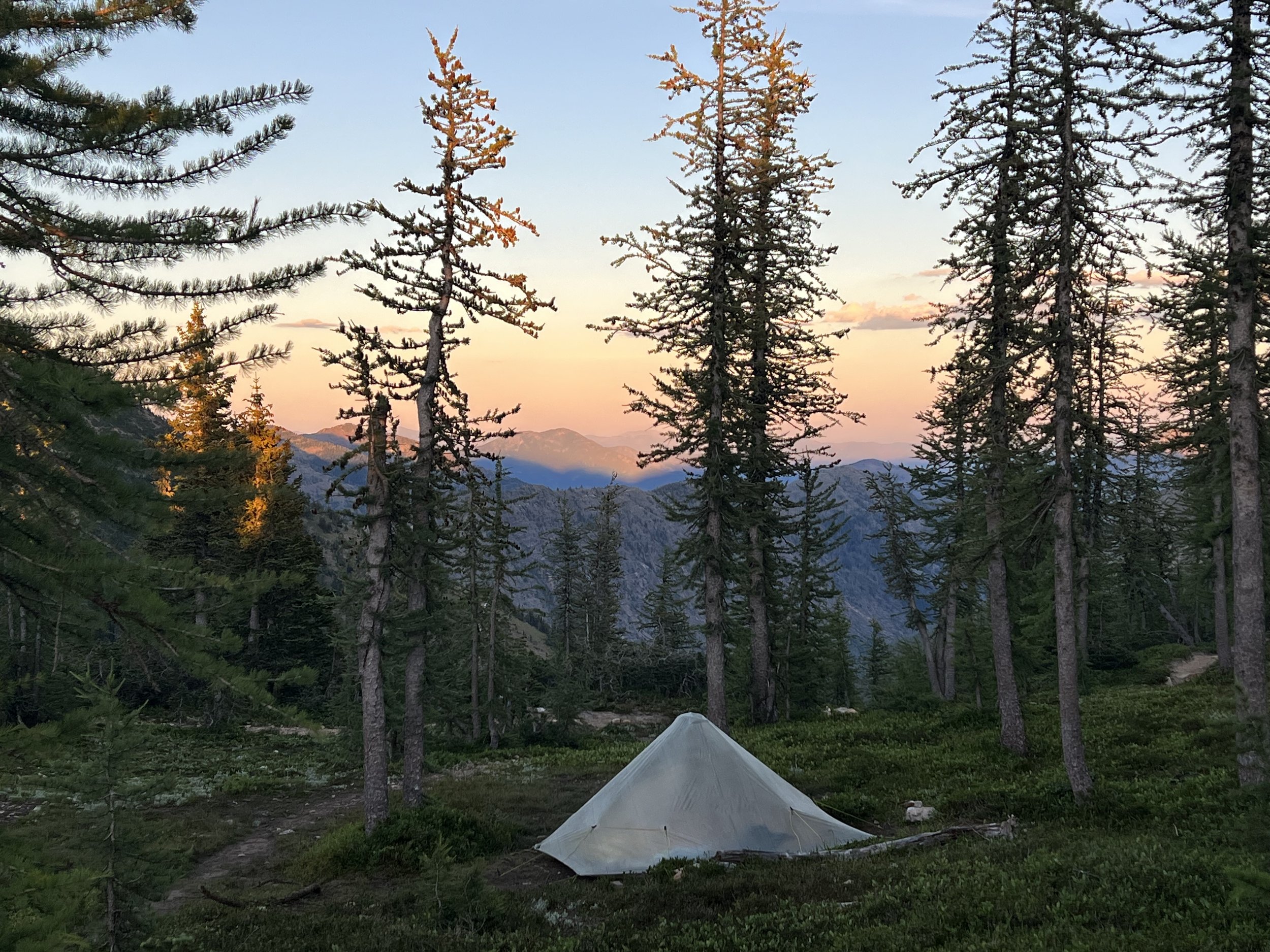
The 2600 mile marker denoted 53 miles to go to the Canadian border and my excitement and confidence in finishing skyrocketed. Five miles before Hart’s Pass after a spectacular ridge walk I came to a saddle with a spot to camp, even though it was only 5.30pm I decided to camp and enjoy the sunset from high up on the ridge and spend some time reflecting on my journey.
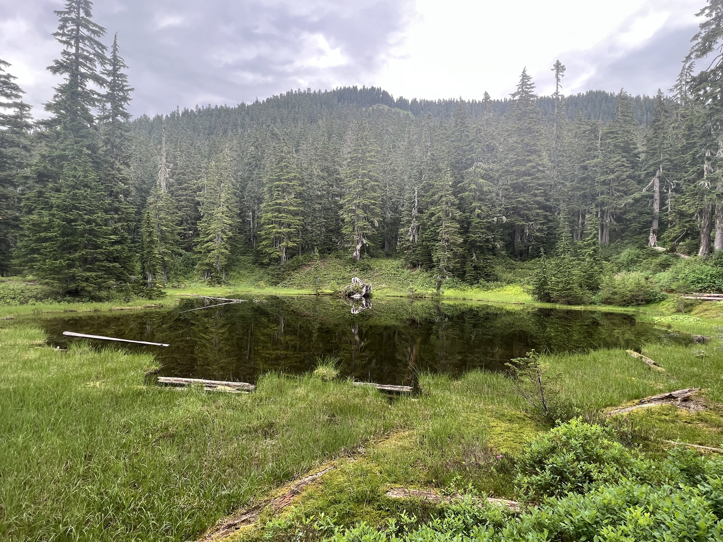
Hart’s Pass is the last road crossing before the Canadian border and because it’s currently not possible to hike into Canada it’s necessary to hike the last 31 miles to the border and then turn around and hike back to Hart’s Pass to get a ride back to civilization. Those last 31 miles to the border were stunning and made all the more interesting by meeting hikers who’d already finished and were hiking back out to Hart’s Pass. Congratulating those that passed me headed back I knew my time on the trail was limited but I was soon to achieve something I’d been planning for well over a year. I camped at a lake 6 miles before the finish knowing that even though the border was 6 miles away I was really 37 miles from the finish as I still had to hike out.
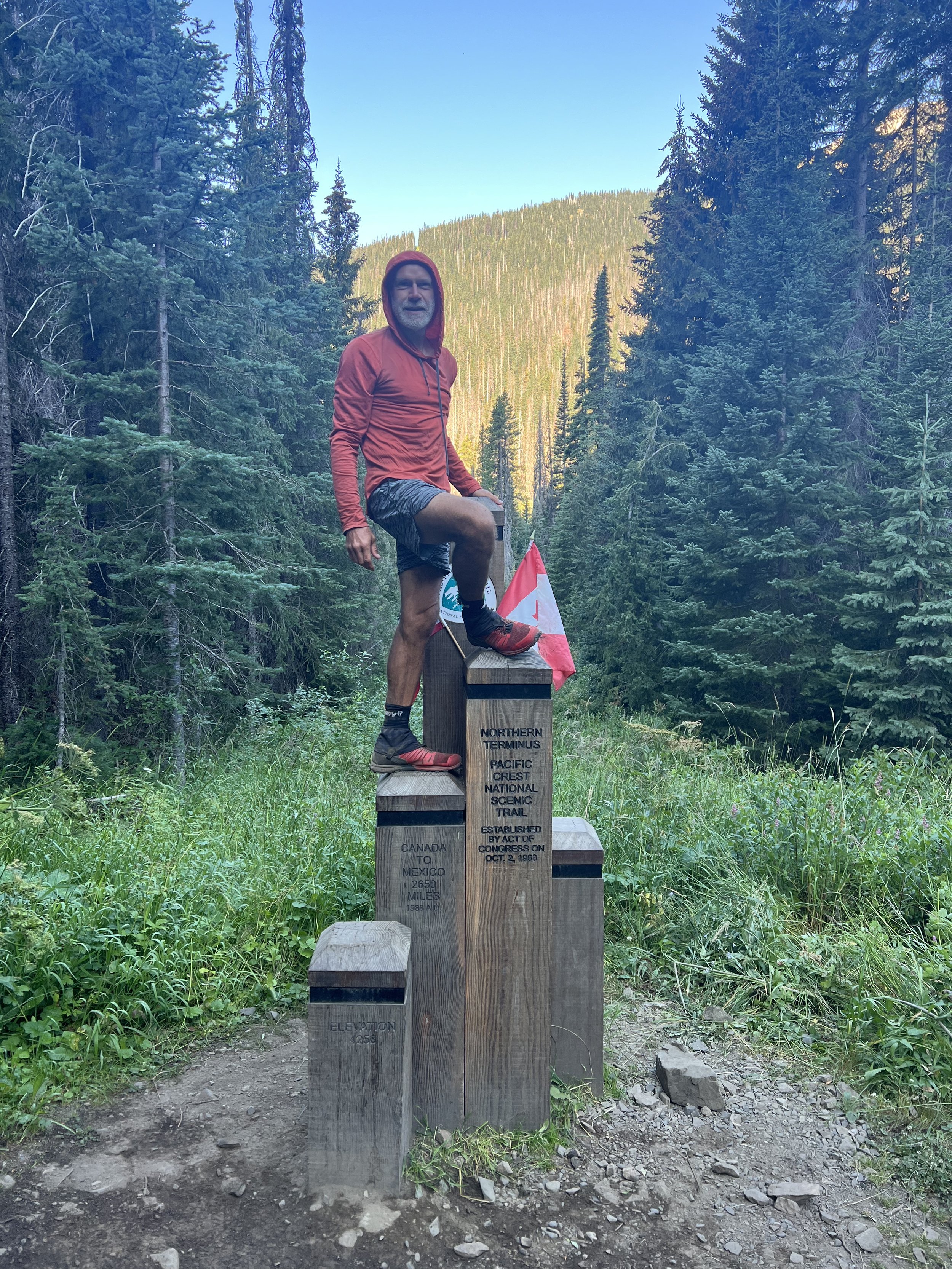
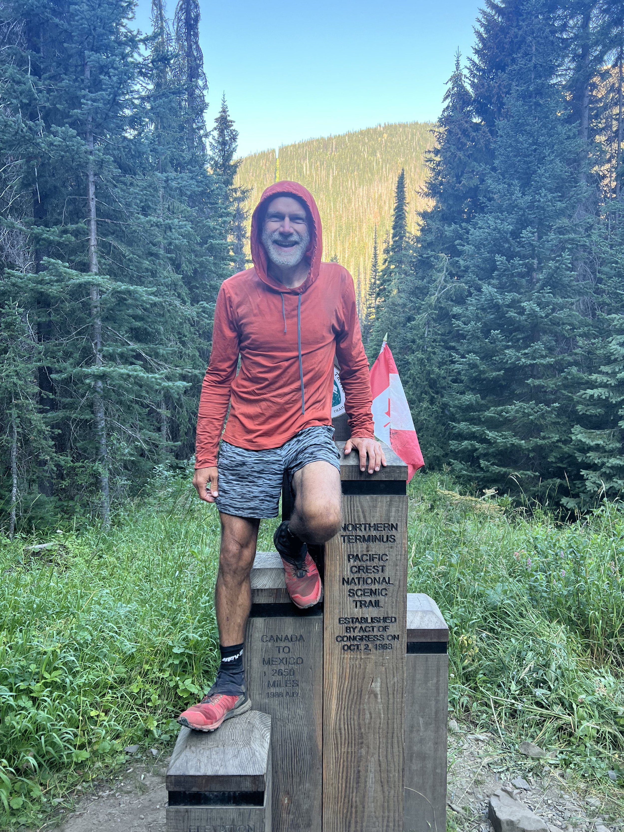
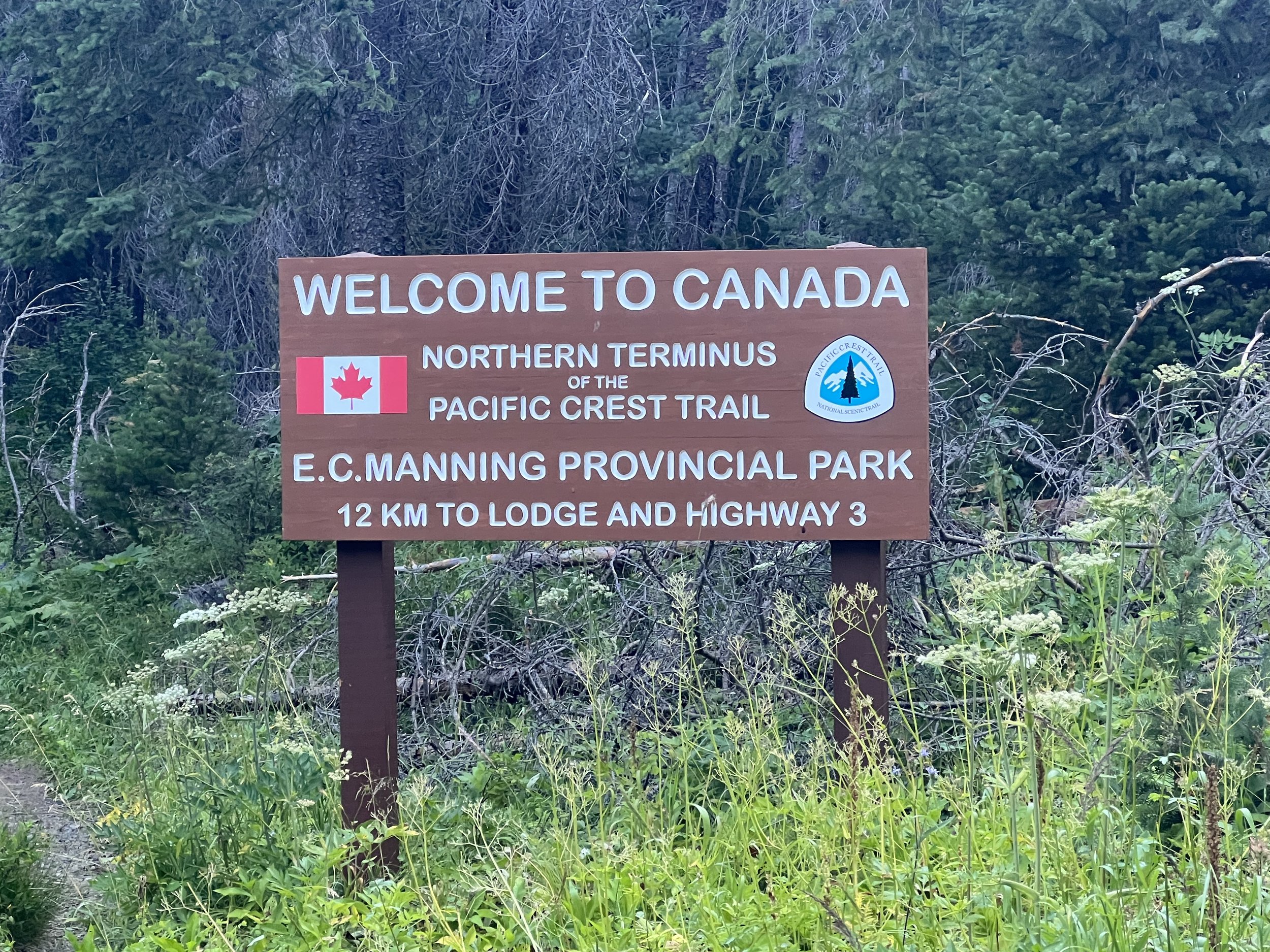
Four months and one week after starting from the Mexican border I reached the Canadian border. A clearing in the forest with a monument denoting the US/Canadian frontier, something that seemed too far away to even imagine when I set out on April 10, had become my finish point on August 17 2022.
The few days prior to reaching the terminus I’d felt happy and elated over finishing such a long journey however as soon as I left the border and started hiking back to Harts Pass I was overcome with sadness. It felt odd, I should be so happy. I don’t know if it was the knowledge I’d soon be back in civilization away from the stunning scenery and the routine of hiking or the fact something I’d planned for and looked forward to for so long was over, maybe a mix of factors. I wasn’t even cheered by the congratulations offered by hikers headed north and finishing their own hikes.
For my last night on the PCT I again camped high on a ridge with amazing views. The following morning my mood had lifted and I was excited to hike the final miles to Hart’s Pass where friends would be meeting me. I passed a couple of people, they stopped to congratulate me and we chatted. They were father and daughter, the daughter was about to finish the PCT, her father having joined her for those last 60 miles. I couldn’t help reflecting, not for the first time, how much my dad would have loved to have hiked the PCT, or at least part of it, and how those family hiking trips to the Lake District when I was a kid have had such a big impact on my life.
I feel very privilege to have had the time, health and resources to be able to hike from Mexico to Canada.
In the day or two after finishing the two most common question I’ve had are ‘Would you do it again?’ and ‘How do you feel?’.
How do I feel?: I have to say I feel great, no aches or pains, my mobility, and I’m sure my endurance, have improved dramatically. Having lost over 9kg (20lbs) from a starting weight of 74kg (168lbs) I’m sure my upper body strength has diminished but that’s something I can easily work on and regain.
Would I do it again?: Not the PCT again but I’d certainly do another long thru hike with the Te Araroa in New Zealand high on the list along with a number of European thru hikes. But before committing to anything on this scale again I have a number of shorter objectives planned. In the meantime I’m going to focus on getting my body fat percentage at least into double digits!
Thank you for following my journey. There were a number of areas I struggled to find information on before my hike and I will write blog posts covering those areas for future hikers, if there are topics you’d like me to cover let me know in the comments. I also plan on blogging my upcoming adventures including hiking the South Coast Track in Tasmania and ski Touring the Haute Route from Chamonix to Zermatt.


