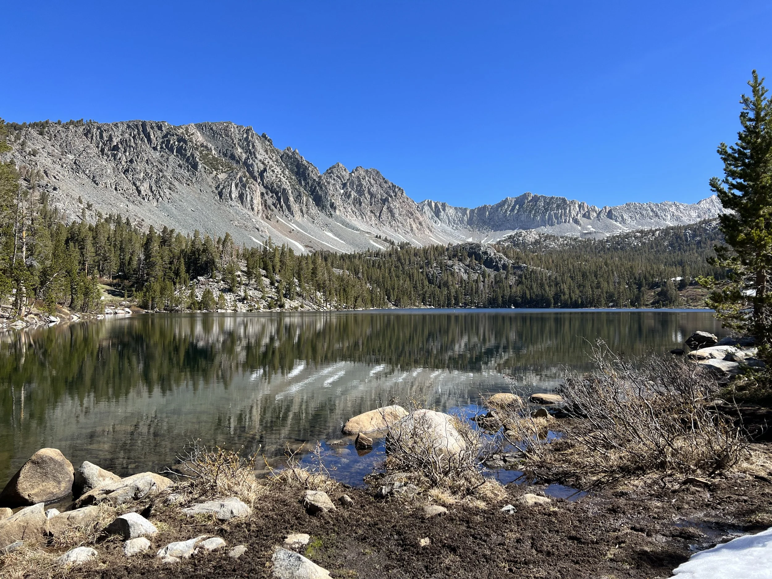
Days 37 - 45. Wow: The Sierra. Miles 702 to 903.
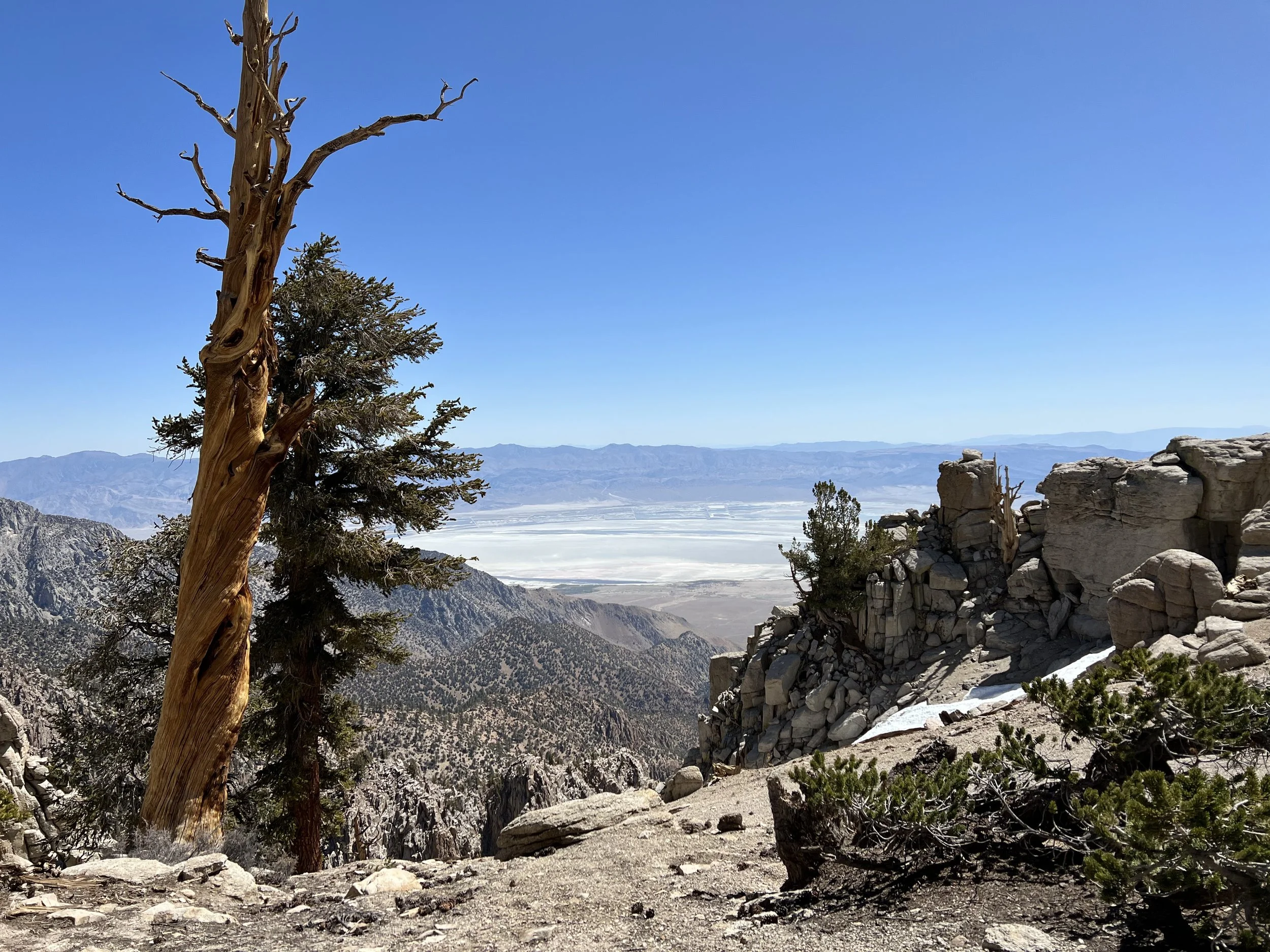
Kennedy Meadows South at mile 702 marked the official transition from the desert section of the PCT to the Sierra. Climbing out of Kennedy Meadows you could sense the change in scenery, the smell of pine and gently flowing creeks signaled the start of this impressive mountain range. Weighed down by 9 days of food, a bear canister, which is a requirement in many of the National and Regional Parks I was about to pass through, and my micro spikes for snow travel the climb was fairly slow going but offered some amazing views down into Owens Valley. I’d elected to send my crampons and ice axe home based on snow condition reports - a decision I would question over the next few days.
View towards Owens Valley
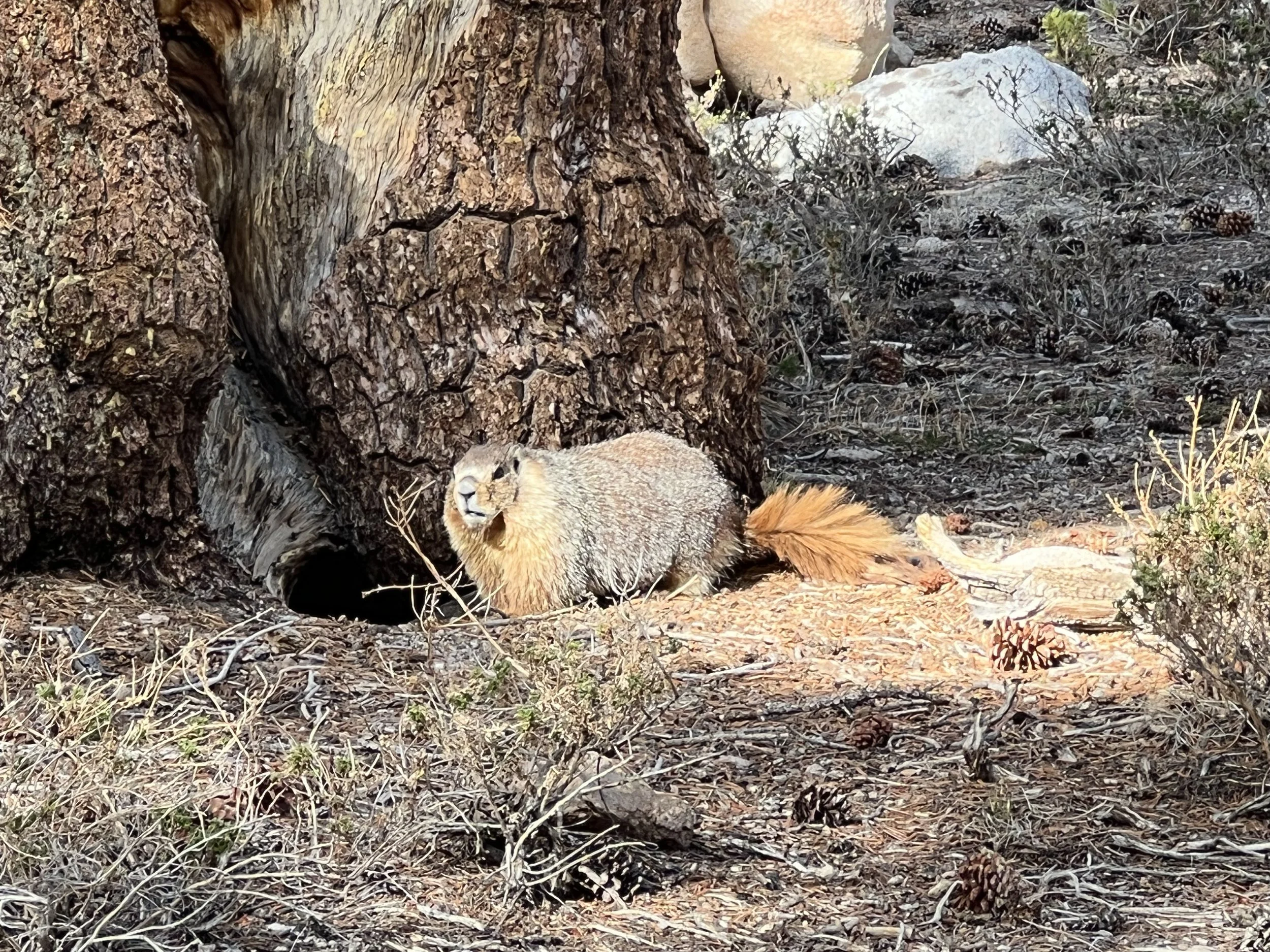
Marmot welcoming me to the Sierra.
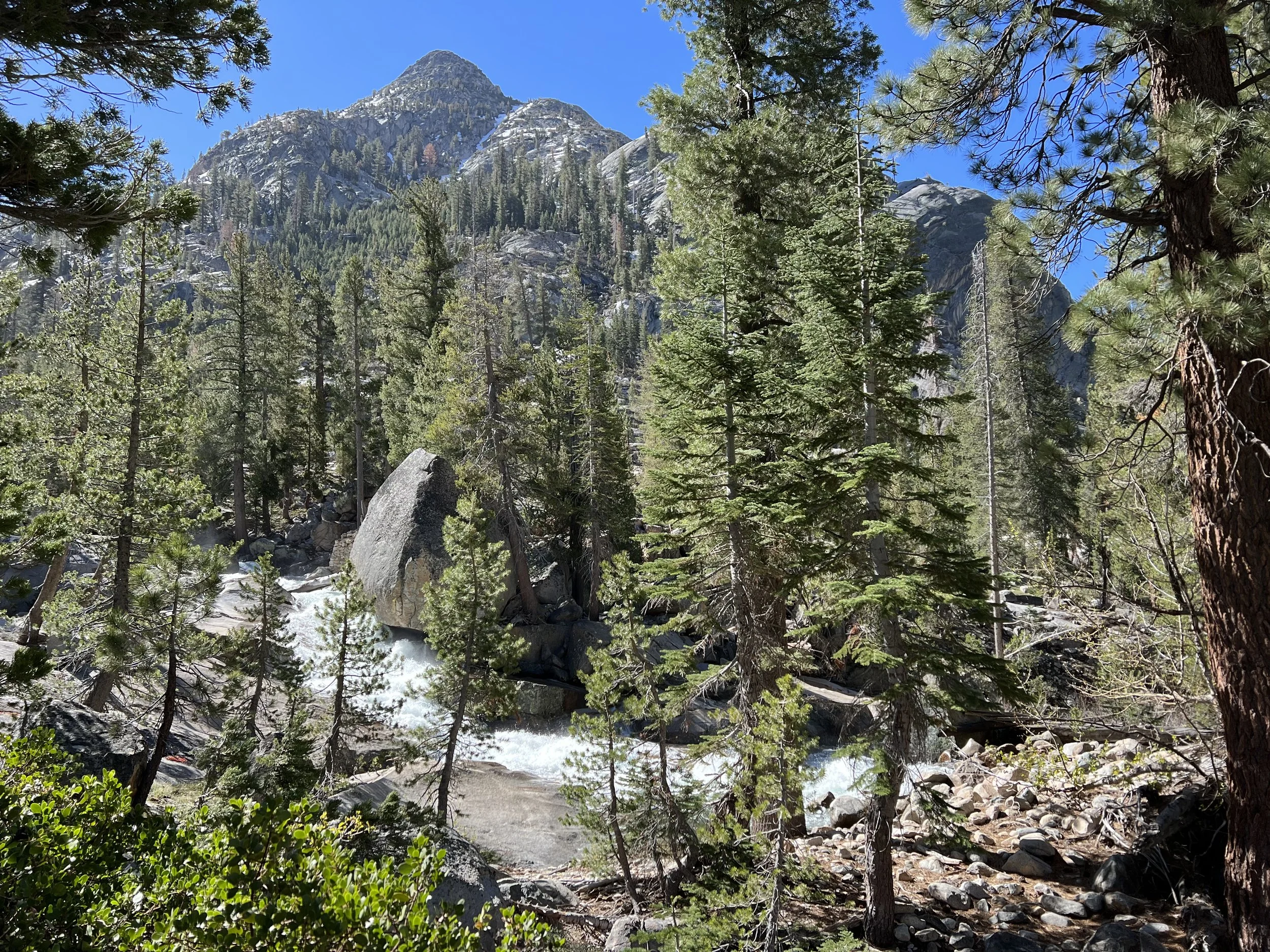
The weight of my pack started to lighten over the next couple of days as I consumed some food and had to carry minimal water as the creeks that seemed to be every few miles were a welcome change to the 20+ miles of dry sections I’d had to cope with in the desert.
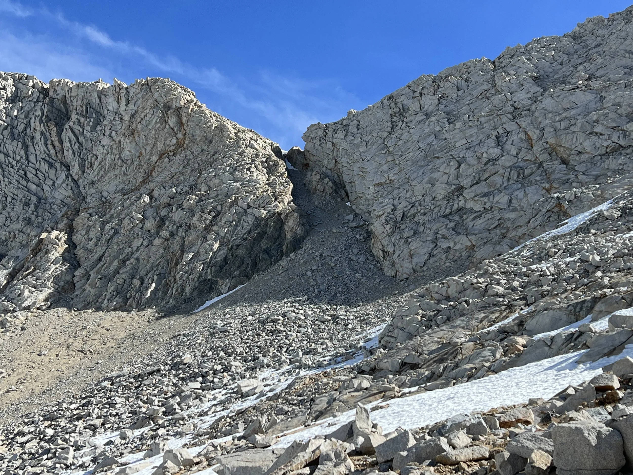
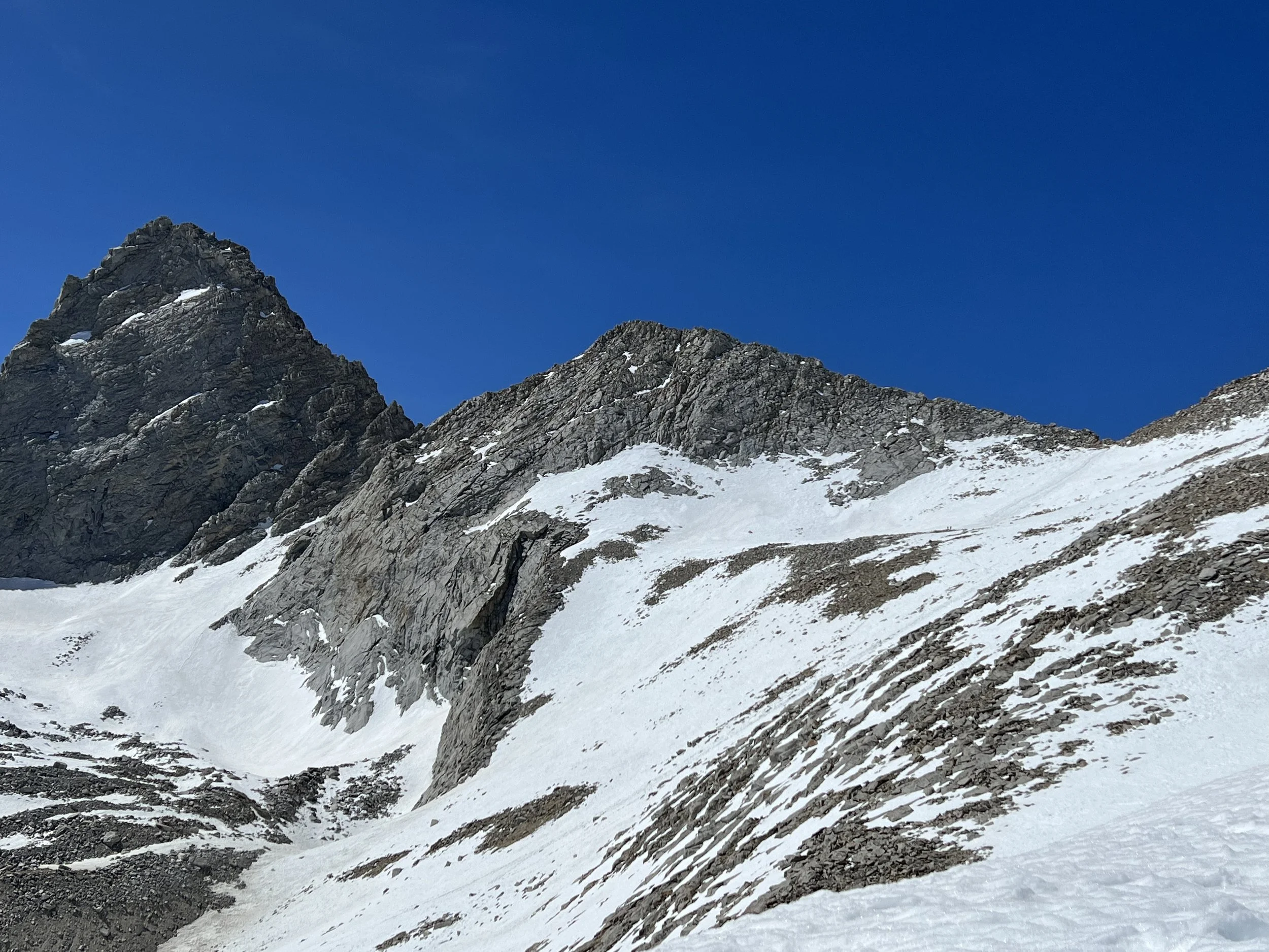
The first major pass going northbound is also the highest point on the PCT. Forester Pass at 13,120’ marks the transition from Sequoia National Park to Kings Canyon National Park. From a distance it appears as a small notch of scree in a dramatic wall of cliffs.
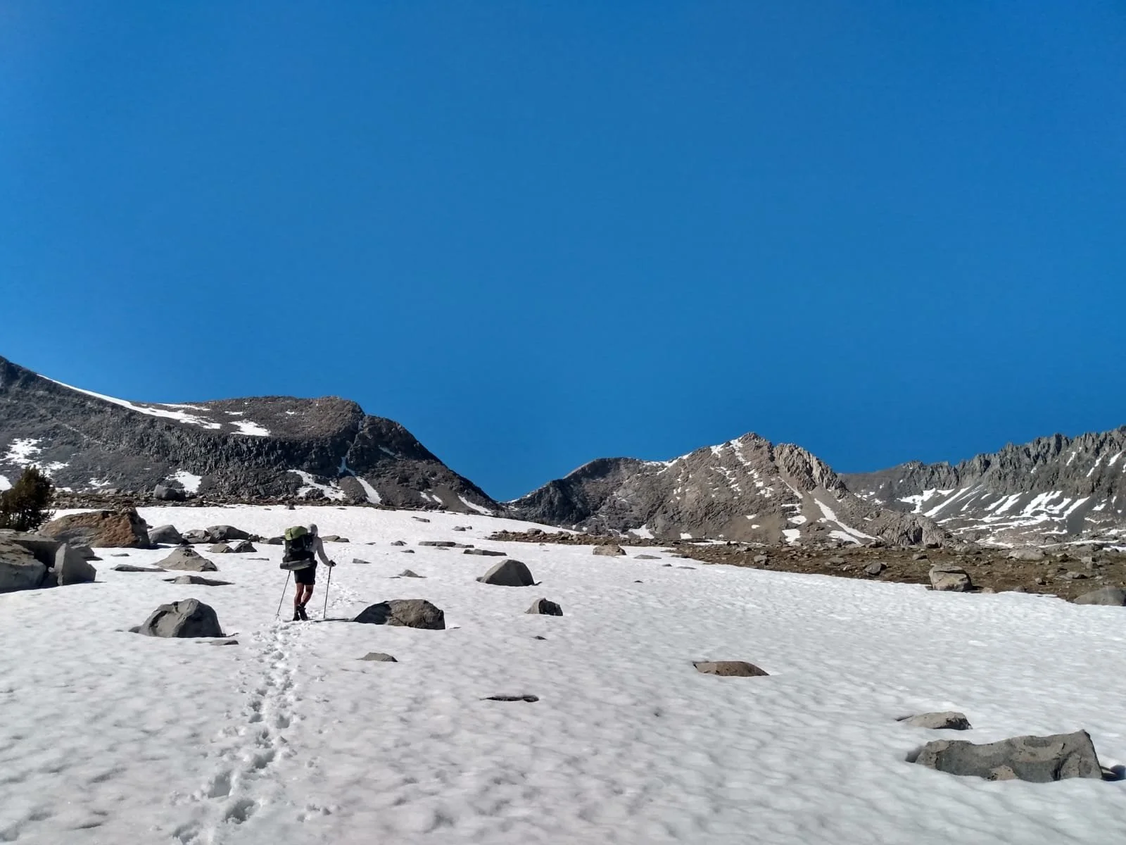
The approach to Forester Pass 13,120’
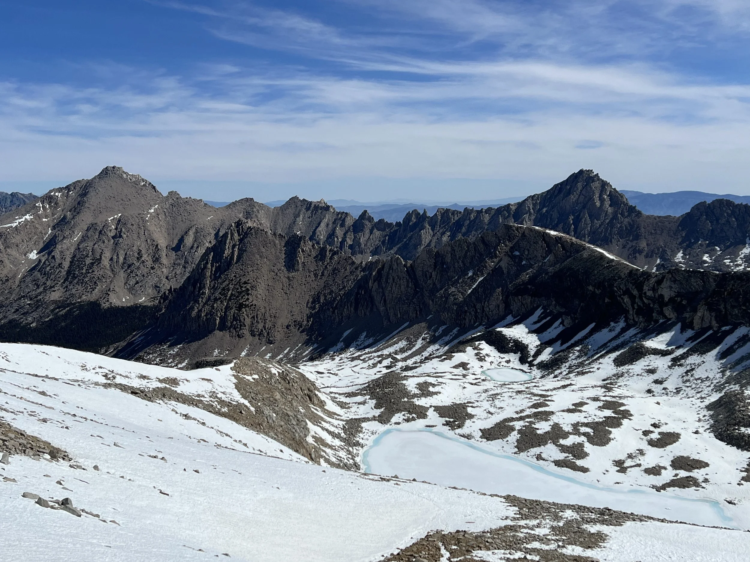
There were snow fields approaching the pass but easy to navigate, the switchbacks up and over the pass were snow free and I thought I was in for a fairly easy day however as soon as I reached the high point it was clear that while the southern aspect had been snow free the northern aspect had well over a mile of snow to navigate with frozen lakes and some fairly steep descents.
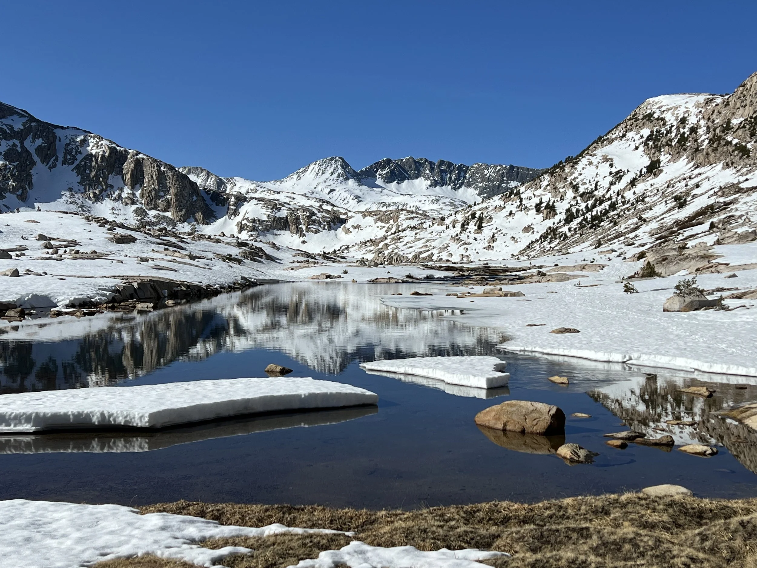
Looking north from the top of Forester Pass
After a steep descent wearing spikes but with clear steps in the snow where others had travelled the risk of slipping was minimal however with the snow softening the repeated postholing was as exhausting as it was annoying. The trail descended a ridge (on the left in the photo above) to a frozen lake and then wound it’s way down the mountain as the patches of snow decreased in frequency and depth.
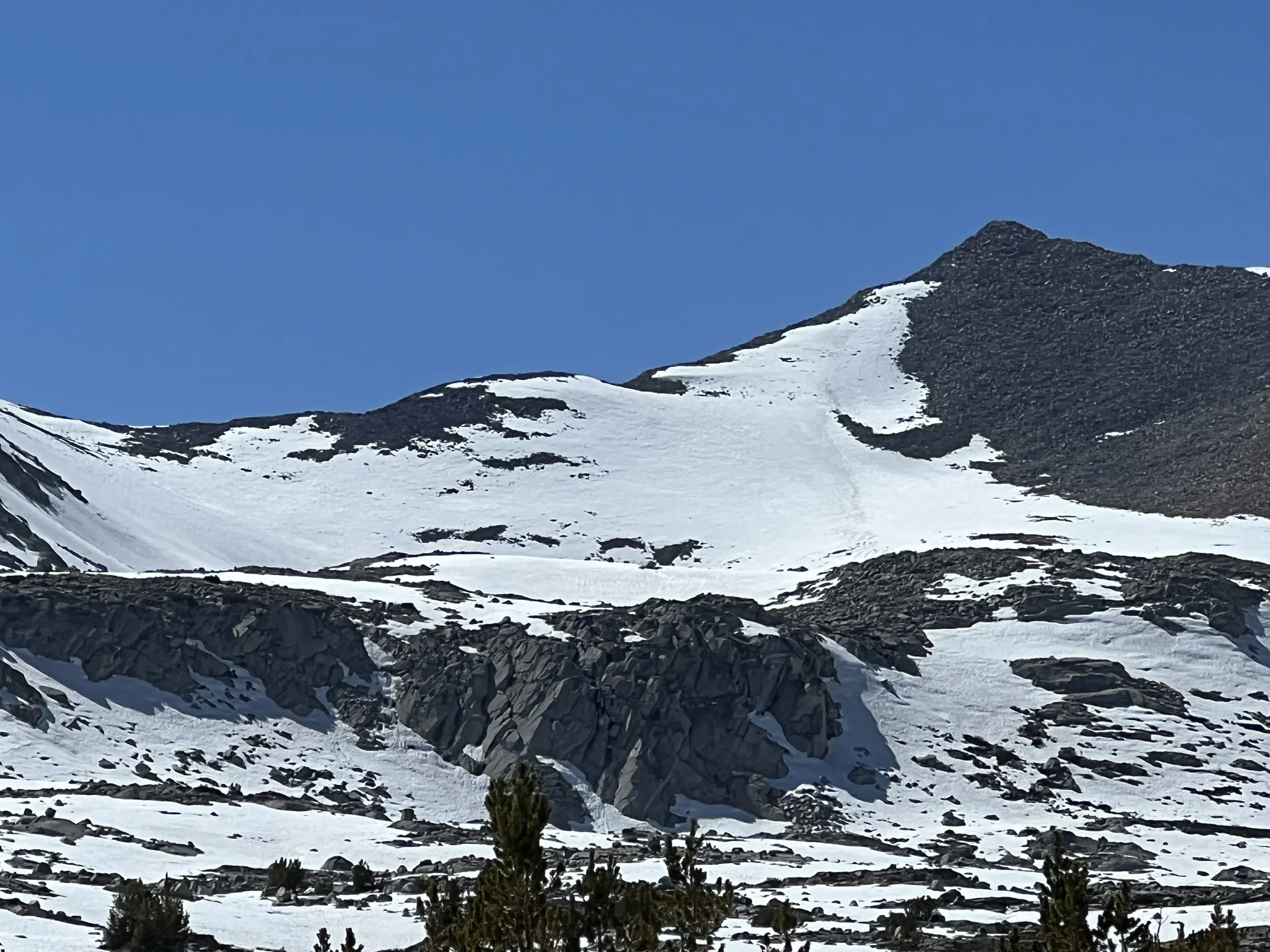
Looking back up towards Forester Pass from the north side. If you zoom in you can see the trail I took.
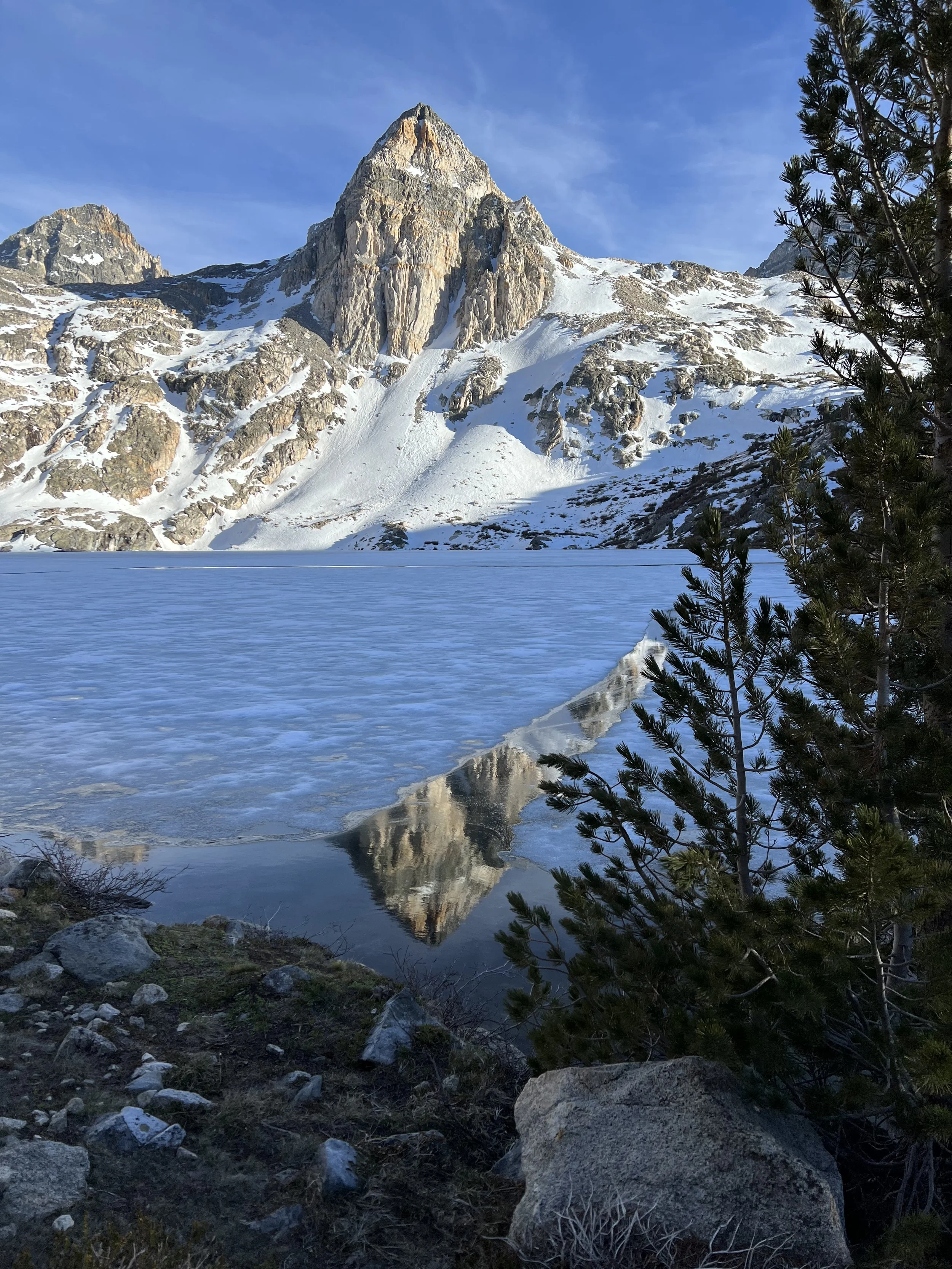
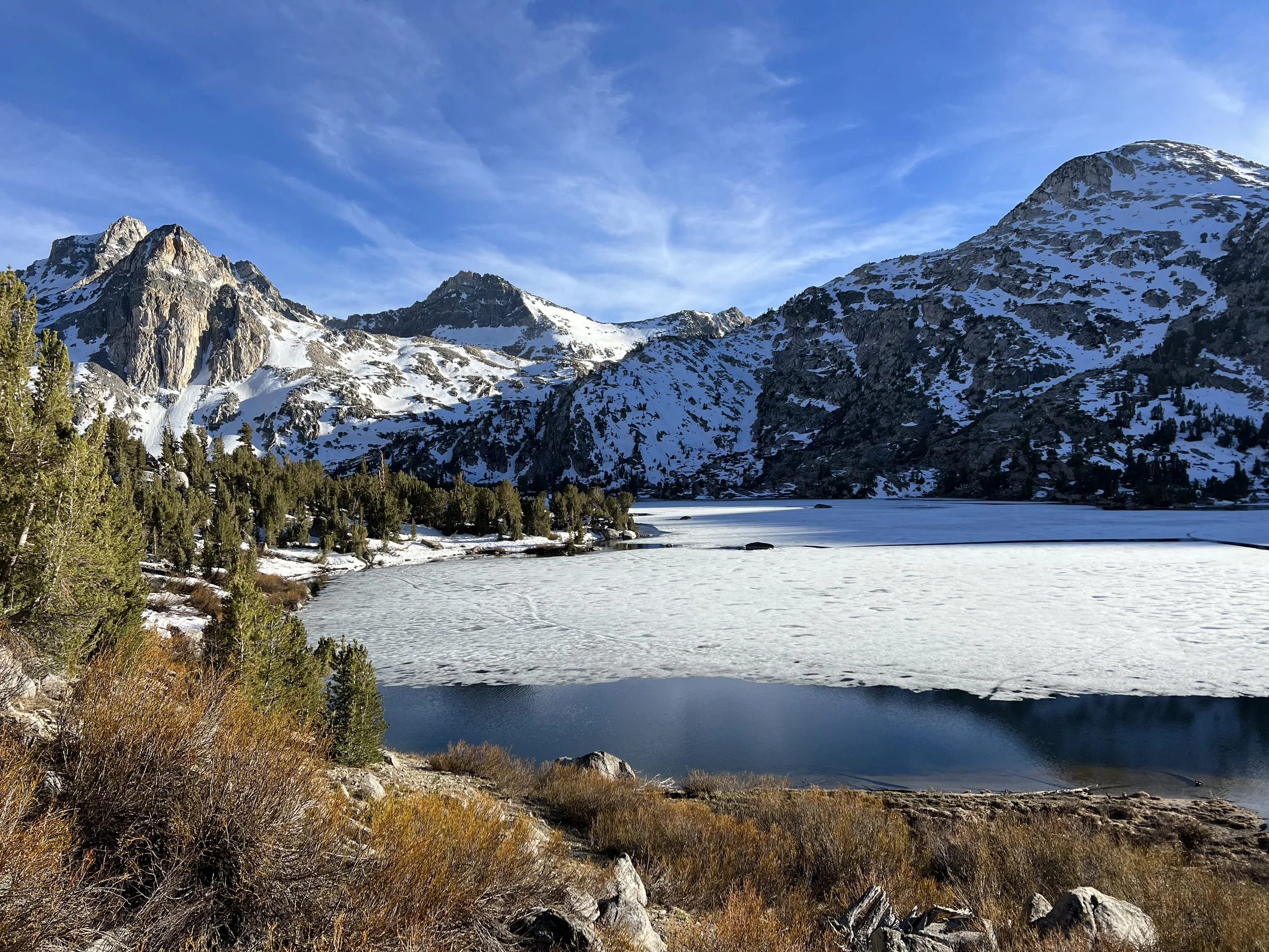
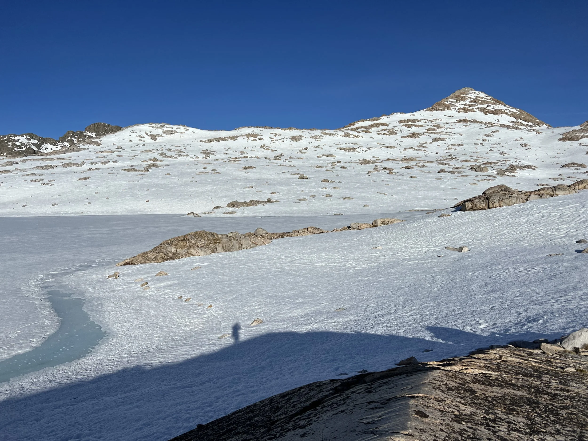
Descending 3,500’ to the valley the trail turned to the dry, green, warm, almost summer like environment you’d expect in the Sierra in July. It was early afternoon and the next pass Glen Pass at just under 12,000’ was around 5 miles away. Many people were opting to do just one pass a day reaching the high point as early as they could in the morning to avoid traveling over soft snow and post holing however I wasn’t keen to just do 10 mile days and stop hiking mid day so I continued over Glen Pass. This proved far more challenging than Forester Pass even with it’s lower elevation and there were significant snowfields 1.5 miles before the summit and a couple of miles on the north side of the pass. After an initial tricky downward traverse immediately over the pass the scenery was spectacular, the trail winding around frozen lakes with distant snow capped peaks always visible.
Descending Glen Pass
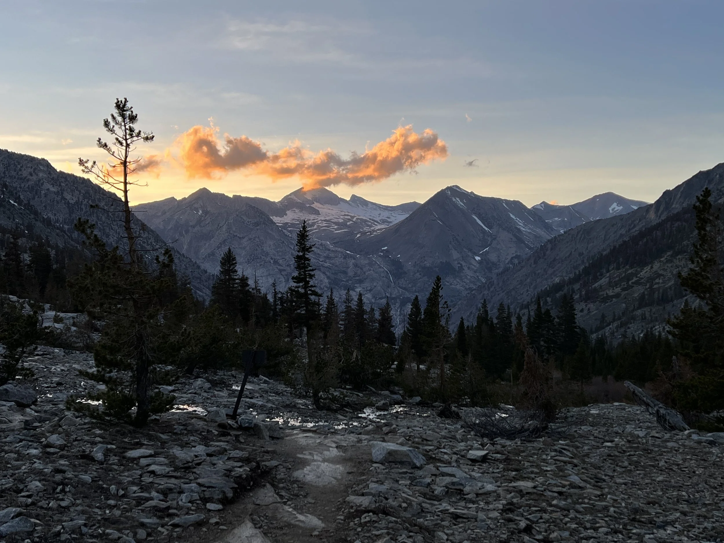
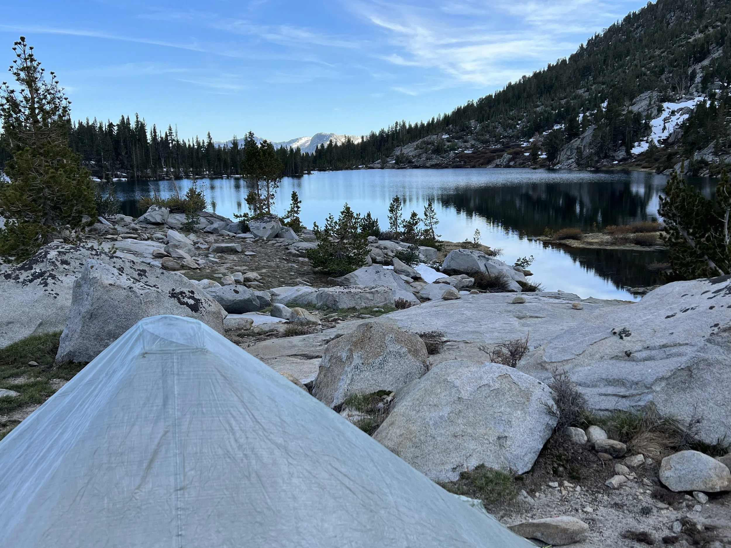
The challenge with covering two passes and a fair amount of ground each day is making sure you’re below snow line before it gets dark in order to camp. I just made it to a beautiful sheltered spot before night descended, had a quick dinner and was under my quilt by 8.30pm.
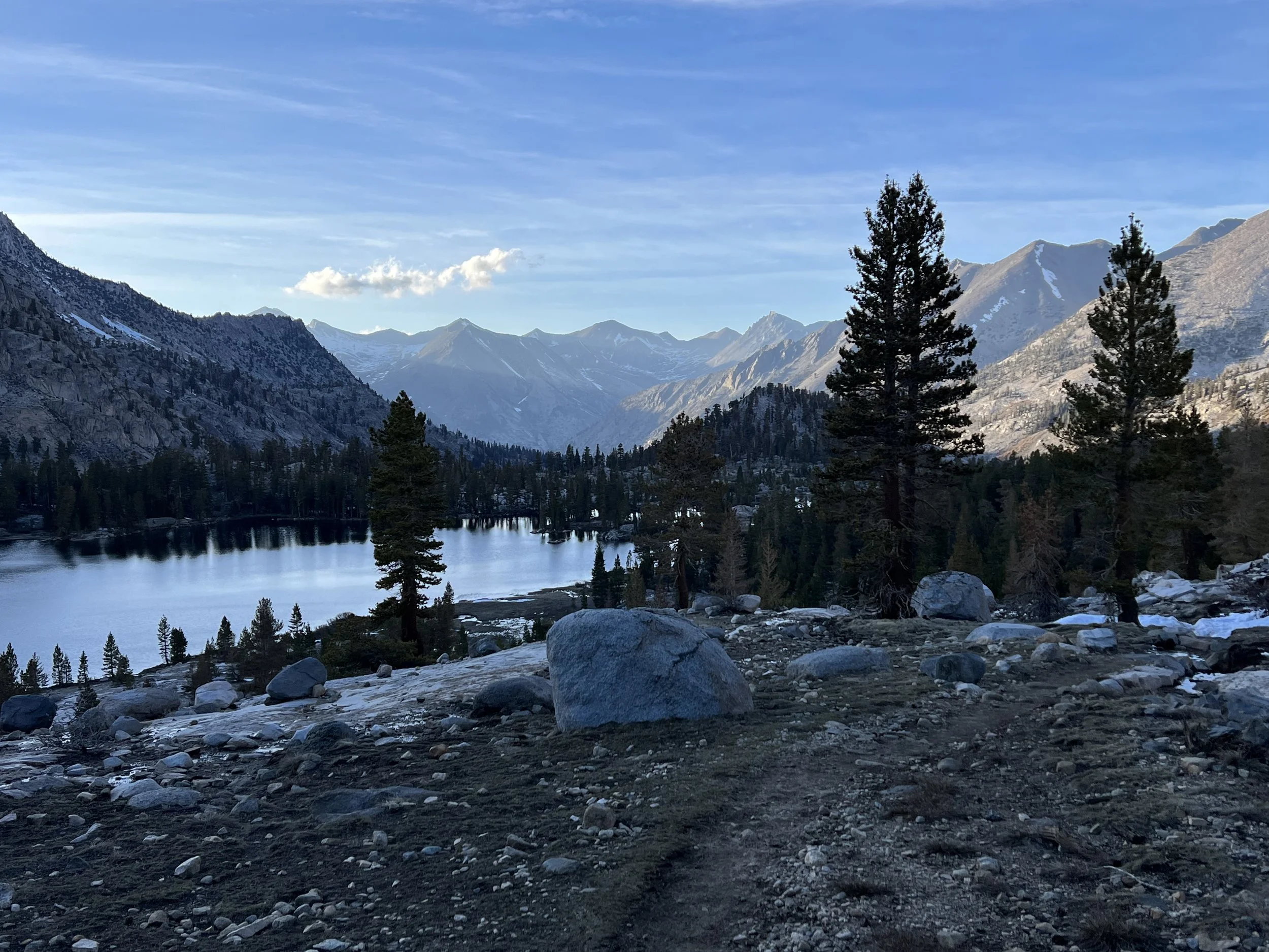
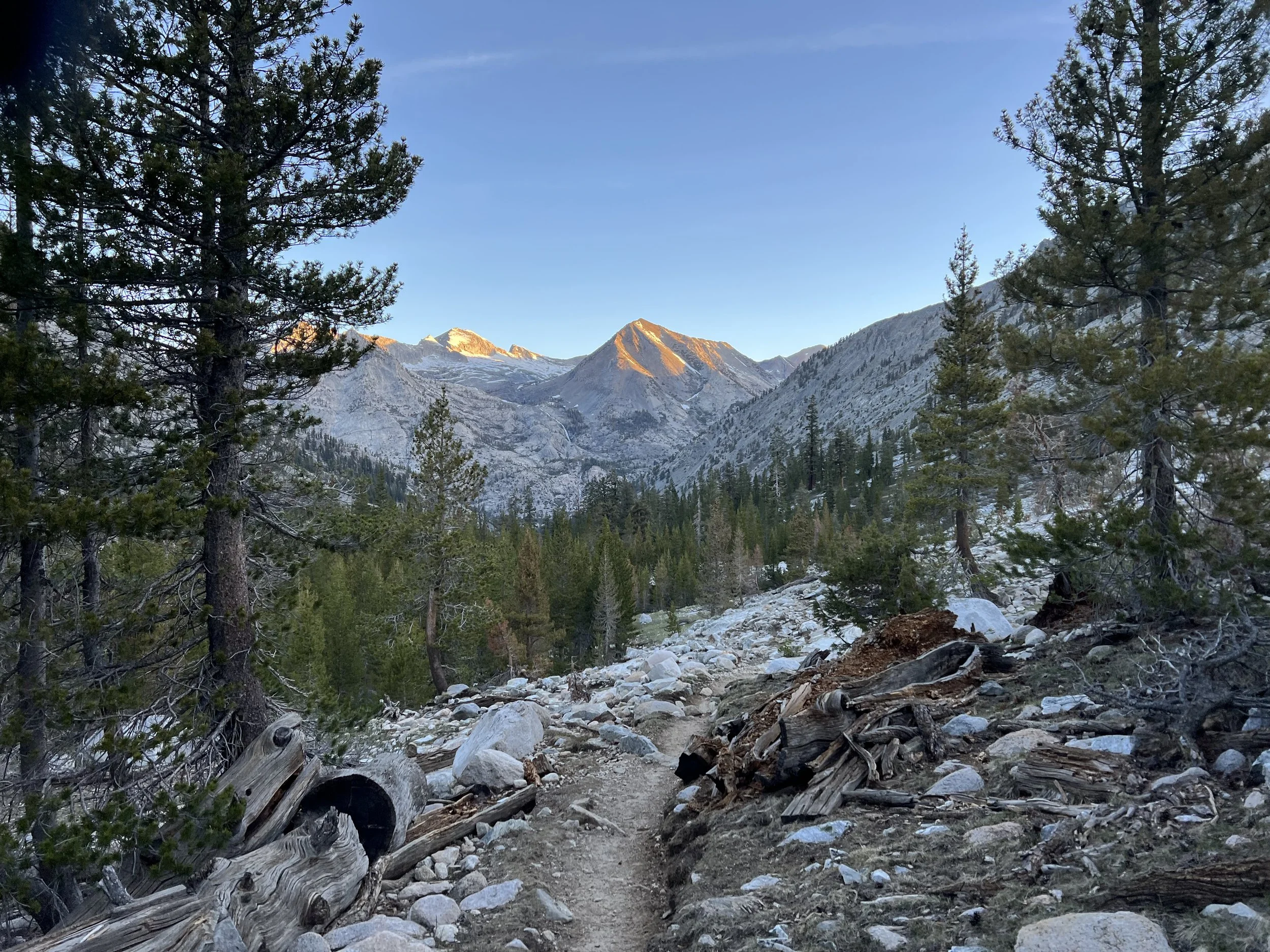
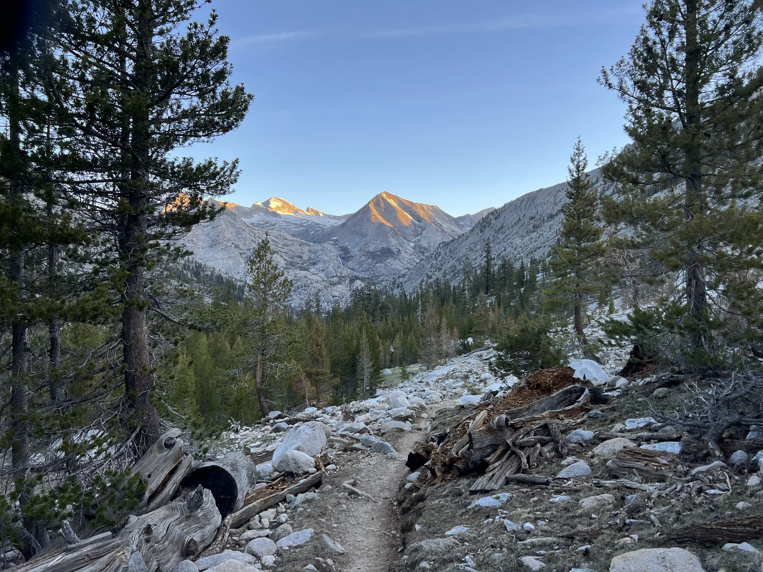
I knew the next day was going to be challenging with around 24 miles required to cover both Pichot Pass and Mather Pass. Both were around 12,000’ and there had been reports that the ascent up Mather Pass was somewhat technical with steep switchbacks over snow. I made an early start and delighted in the morning sun as it appeared over the mountains as I descended Glen Pass towards Pichot Pass.
Early morning descent of Glenn Pass
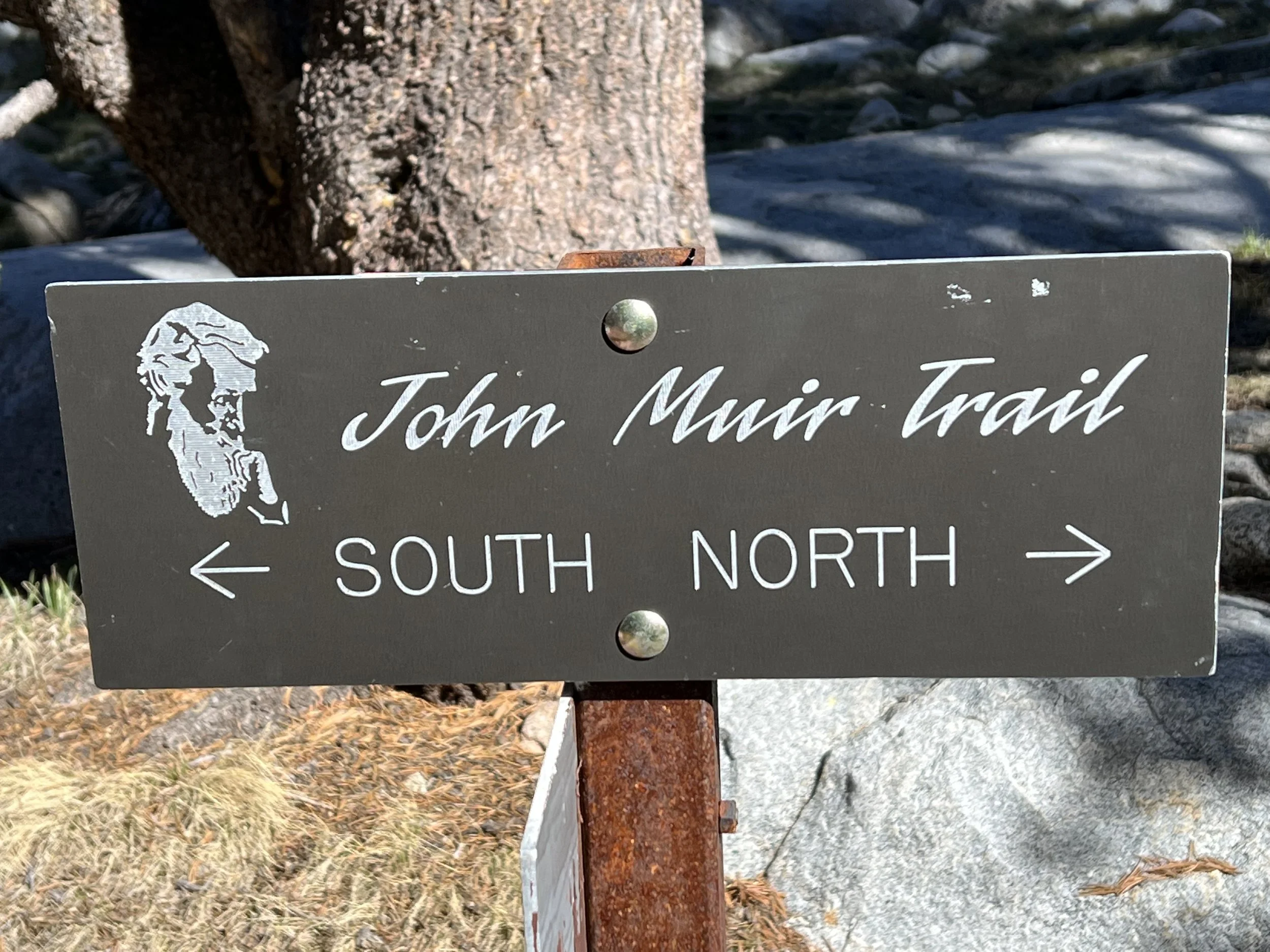
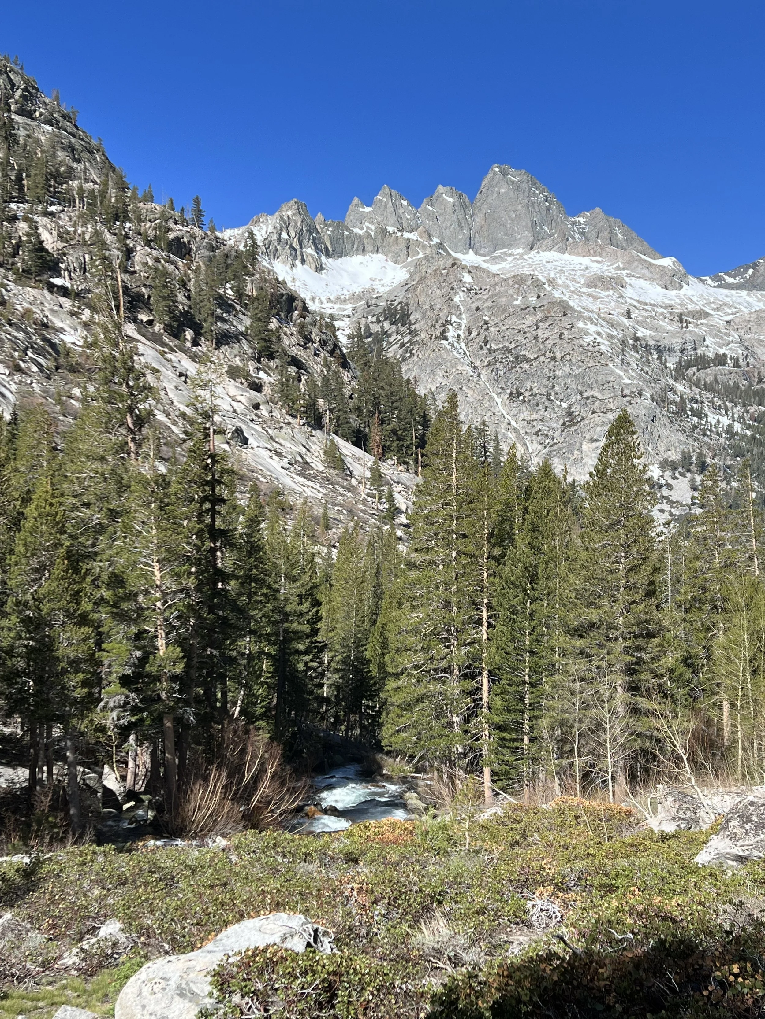
For nearly 200 miles the PCT and the John Muir Trail (JMT) follow the same trail apart from a few miles where they diverge. I’d completed the JMT in 2021 starting in Yosemite Valley and finishing atop Mt Whitney. On that occasion I’d been traveling south in June with virtually no snow. Traveling north, essentially in a winter environment was a totally different, and I think more spectacular and rewarding experience.
While the John Muir Trail is world renowned there was a trail that flowed through the Sierra long before John Muir emigrated from Scotland. Known as the Nuumu Poyo it’s fascinating to understand people have been traversing these passes for thousands of years with indigenous people conserving the lands.
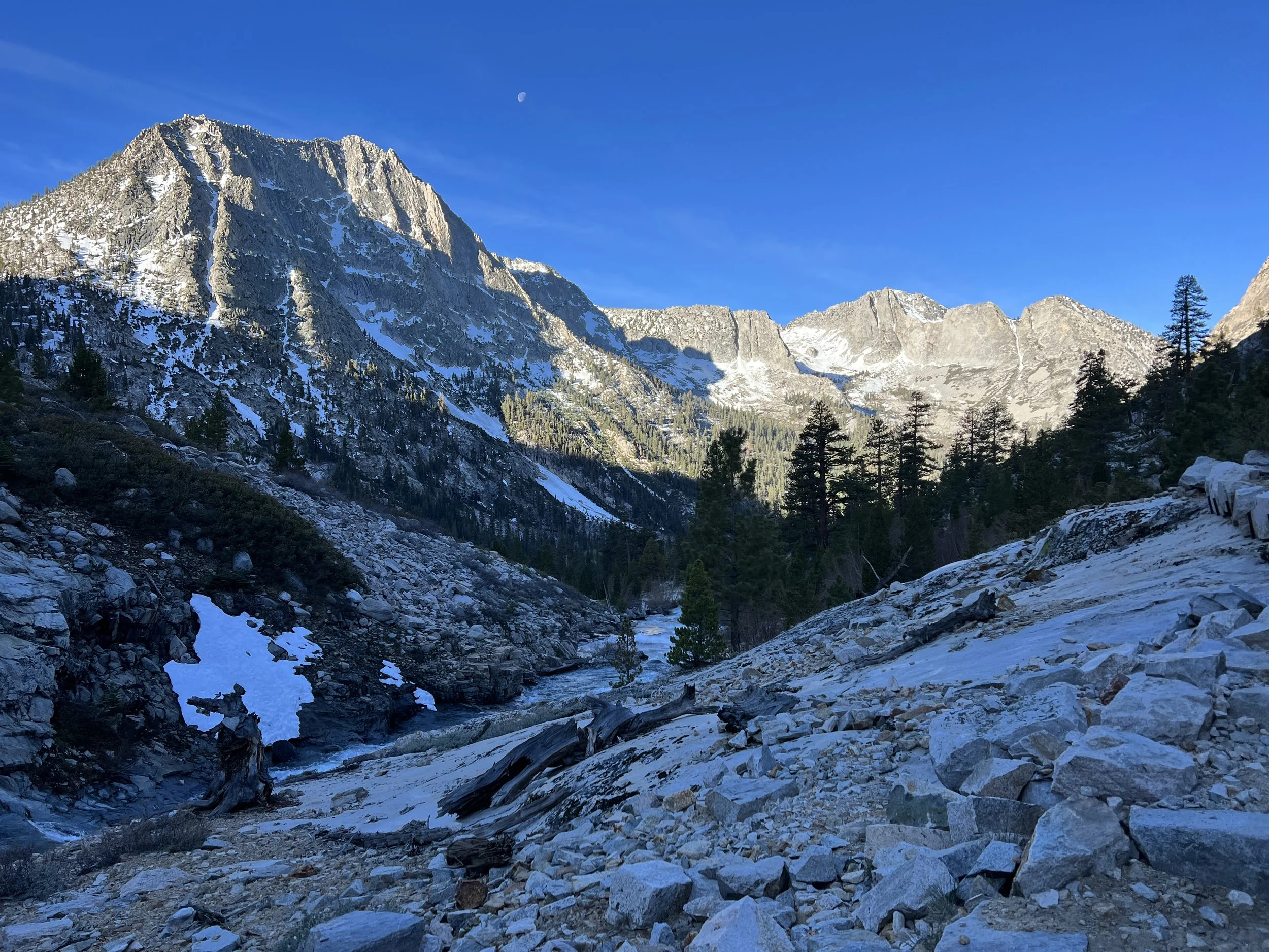
I recalled Pichot Pass from my travels on the JMT the prior year as there was an electric storm and I’d camped low to avoid the lightening. This time the skies were clear but the trail snow covered for a mile and a half before and after the pass and given my desire to get over Mather Pass as well that day I tried to make smooth progress through the softening g snow.
Pichot Pass
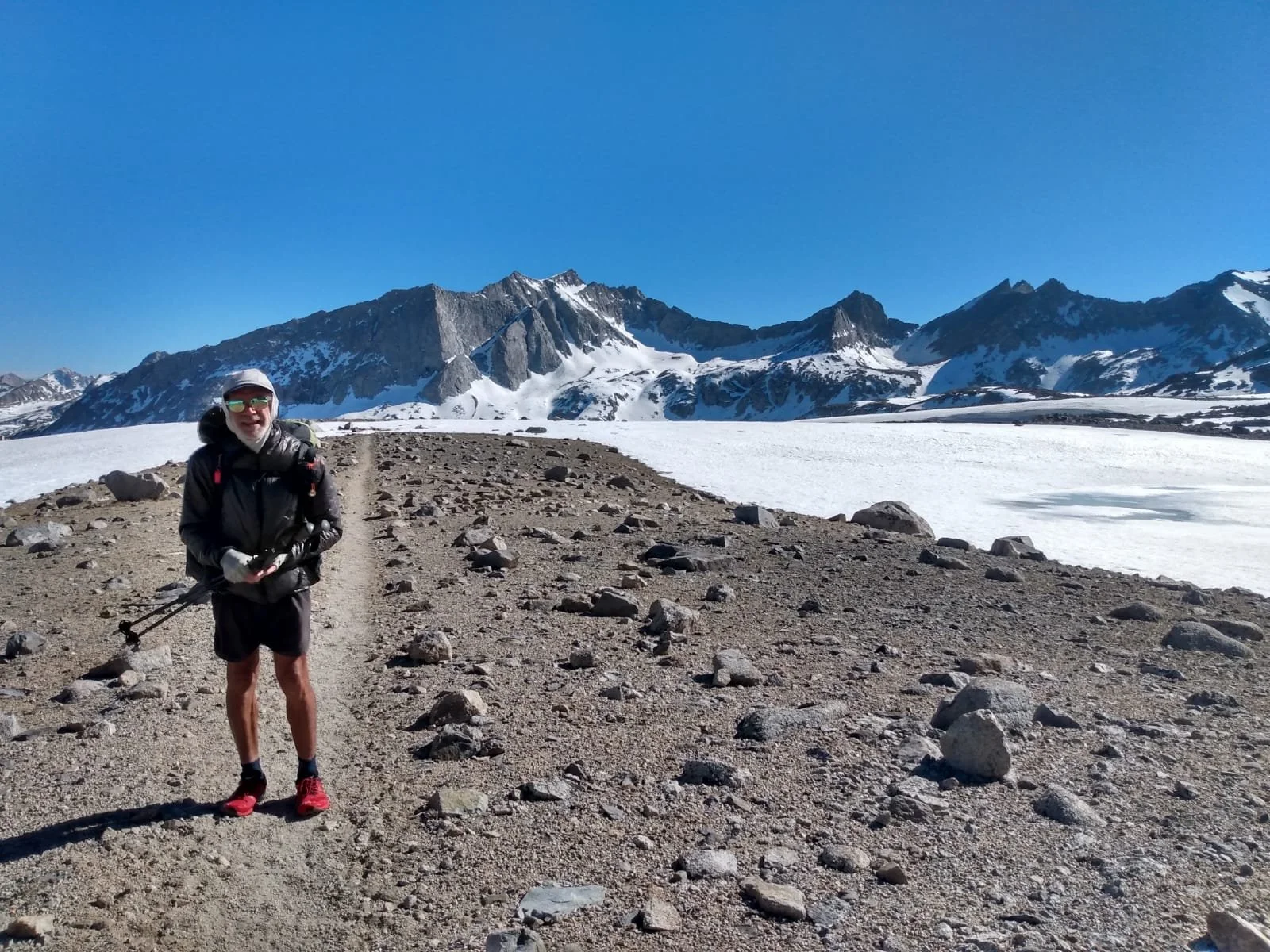
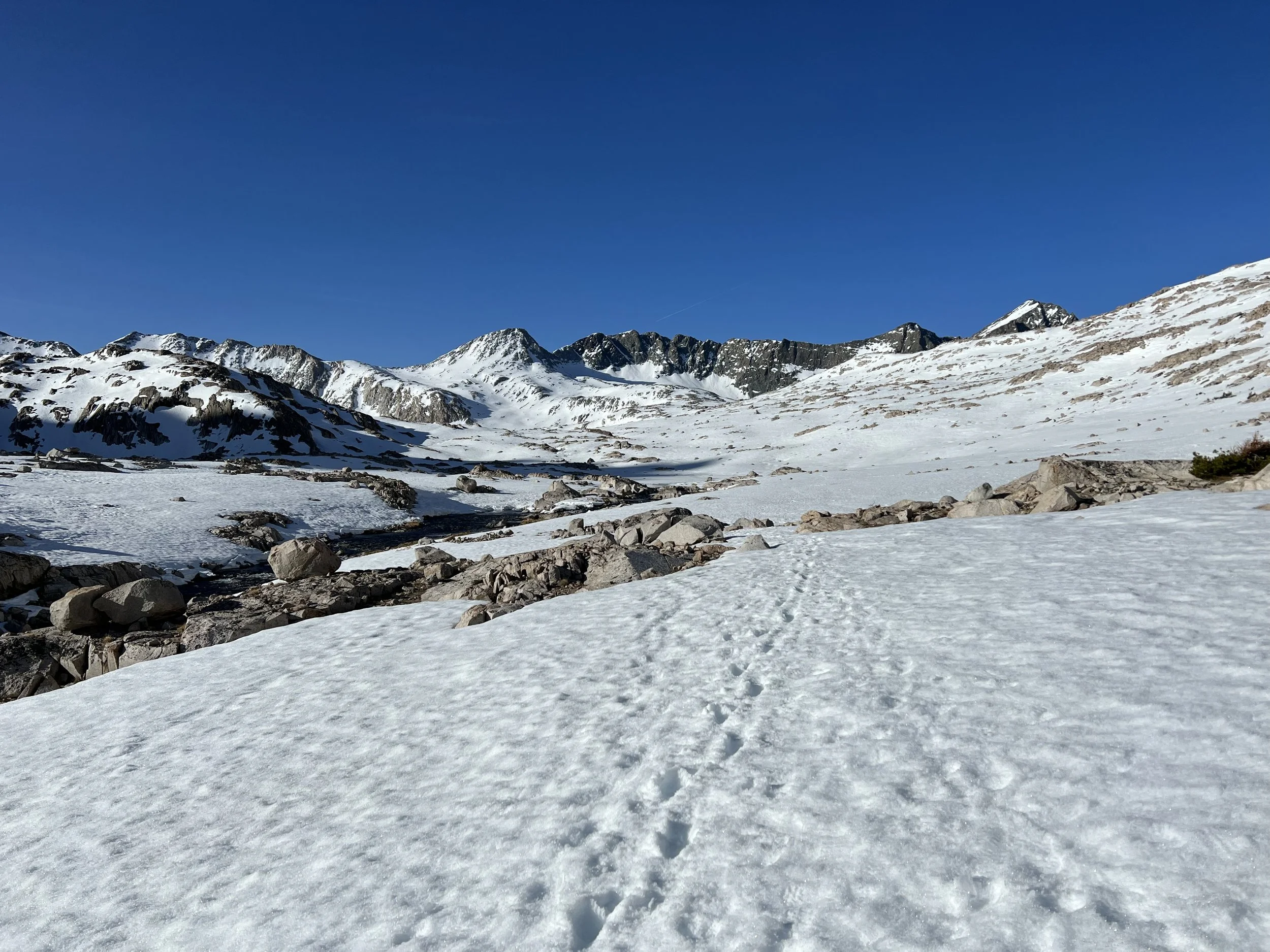
I’ve spent most of my time hiking alone but often seeing the same people. Typically through the desert sections I’d been seeing 15-20 people a day passing each other as we stopped for breaks or chatting as we walked sections together. The Sierra section felt different, I must have been between two bubbles and was seeing only one or two people each day. One of those people was a German guy called Alex who I’d seen and chatted with on occasions the last few hundred miles. Given Mather Pass was suppose to be the most difficult and technical over snow we decided to team up and go over th pass together. A really great decision as it was already 5pm as we approached the pass and the switchbacks on steep terrain looked terrifying from a distance. Getting closer it was clear there were well trodden steps in the snowfield making a fall highly unlikely but ascending a 35 degree slope of firm snow was nerve wracking. We celebrated our ascent at the top however our elation was short lived as we post holed down miles of snow fields often up to our waists.
Headed towards Mather Pass
Up and over the pass we found a snow free relatively dry spot to camp just as darkness was descending. Feet soaking wet and cold from all the post holing we were glad to get into our tents.
It was a freezing night and for the first time I had to put my jacket on while under my quilt. I awoke the next morning to my shoes frozen solid, but I had no choice but to get them on- easier said than done with my feet only getting into the frozen shoe with some effort. A very quick breakdown of camp and packing up ensued so we could get moving as quickly as possible to try and warm up. Another couple of miles of snow, flooded trails and overflowing creeks lead to a beautiful sunny, dry valley and we were able to warm up and dry out.
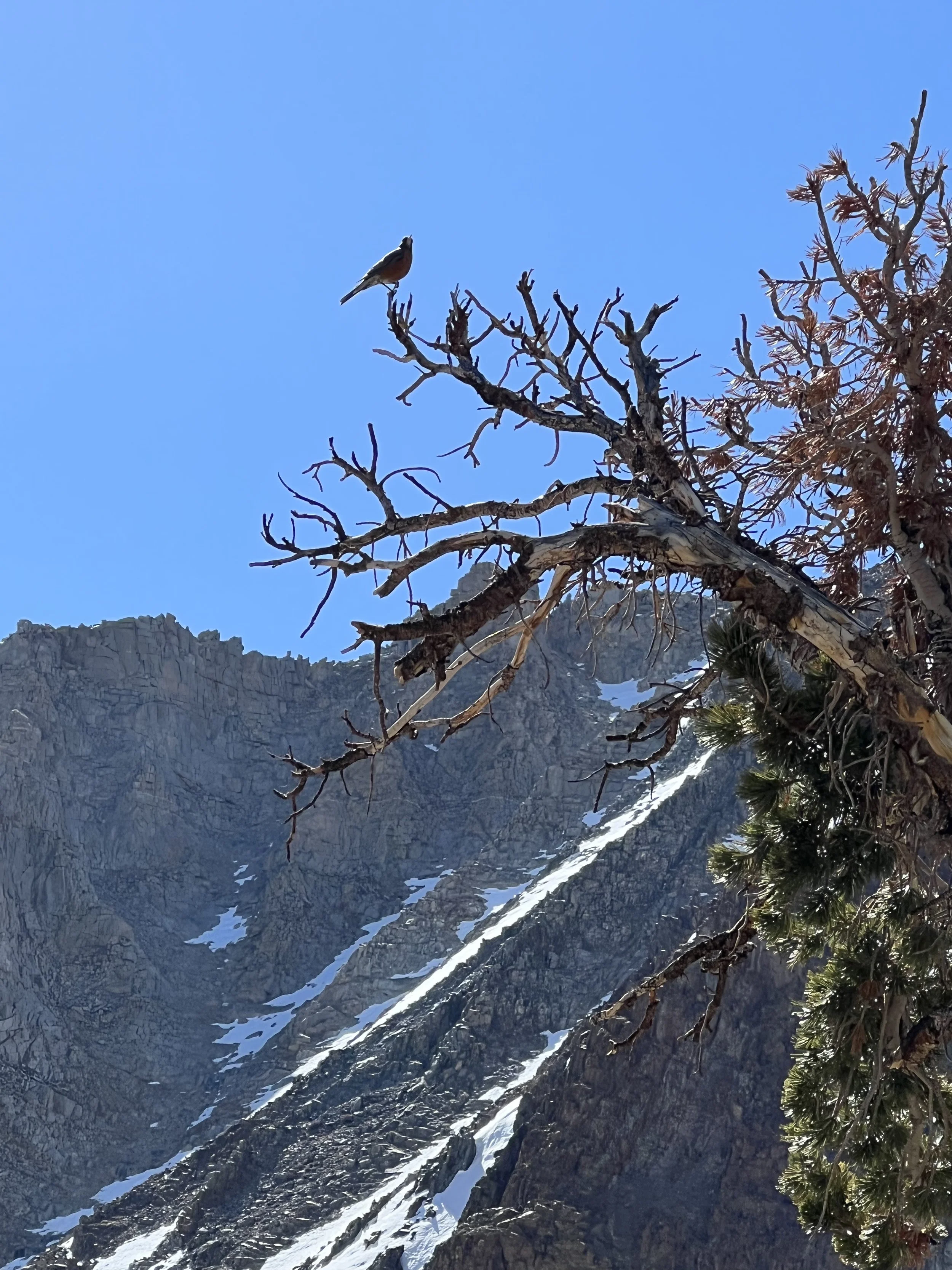
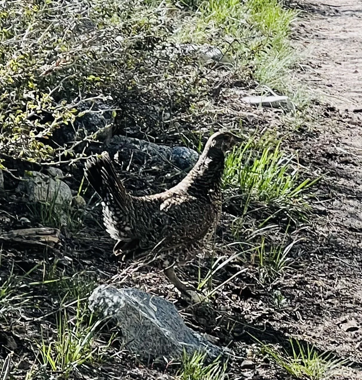
A grouse like (?) bird that kept charging me as I descended into the valley below Mather Pass
Alex departed the PCT heading into Bishop to resupply while I continued on towards Muir Pass. At 12,000’ Muir Pass is know for it’s ability to hold snow. The snow fields started about 3 miles before the pass and were deep and relentless. Arriving in the afternoon meant I was constantly post holing and at one point lost a shoe and had to dig it out! My plan was to get up and over the pass, descending below snow level to camp.
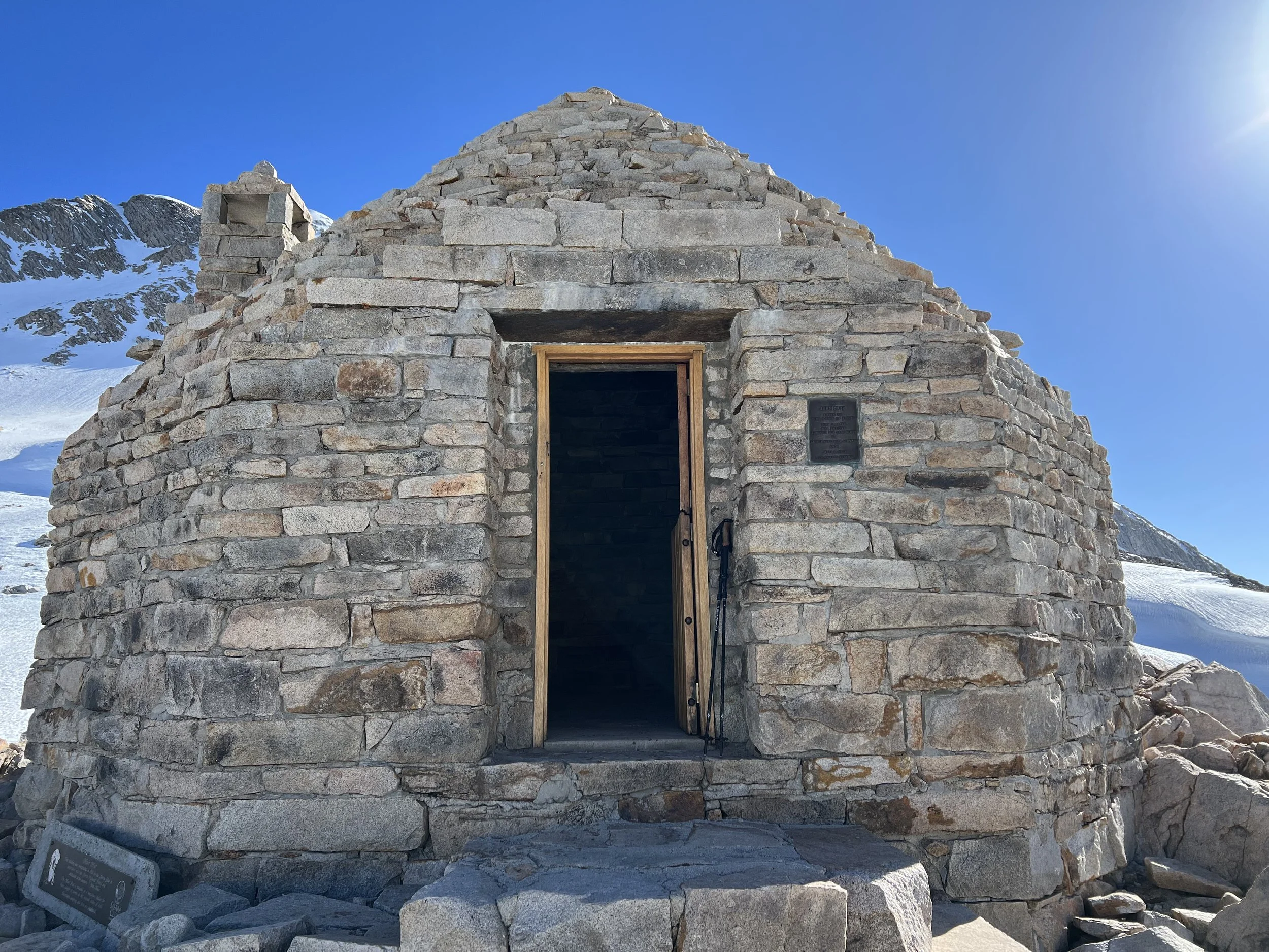
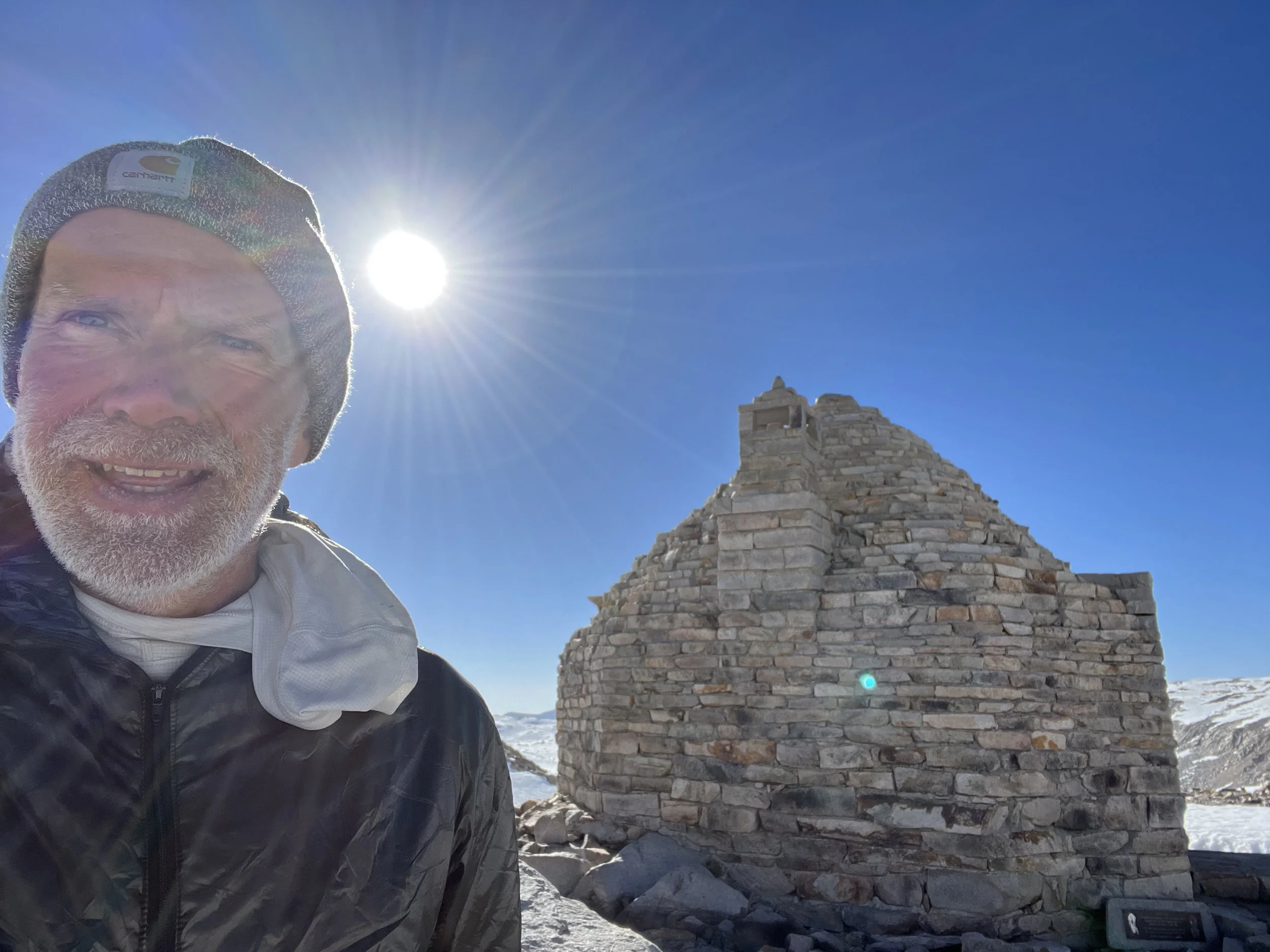
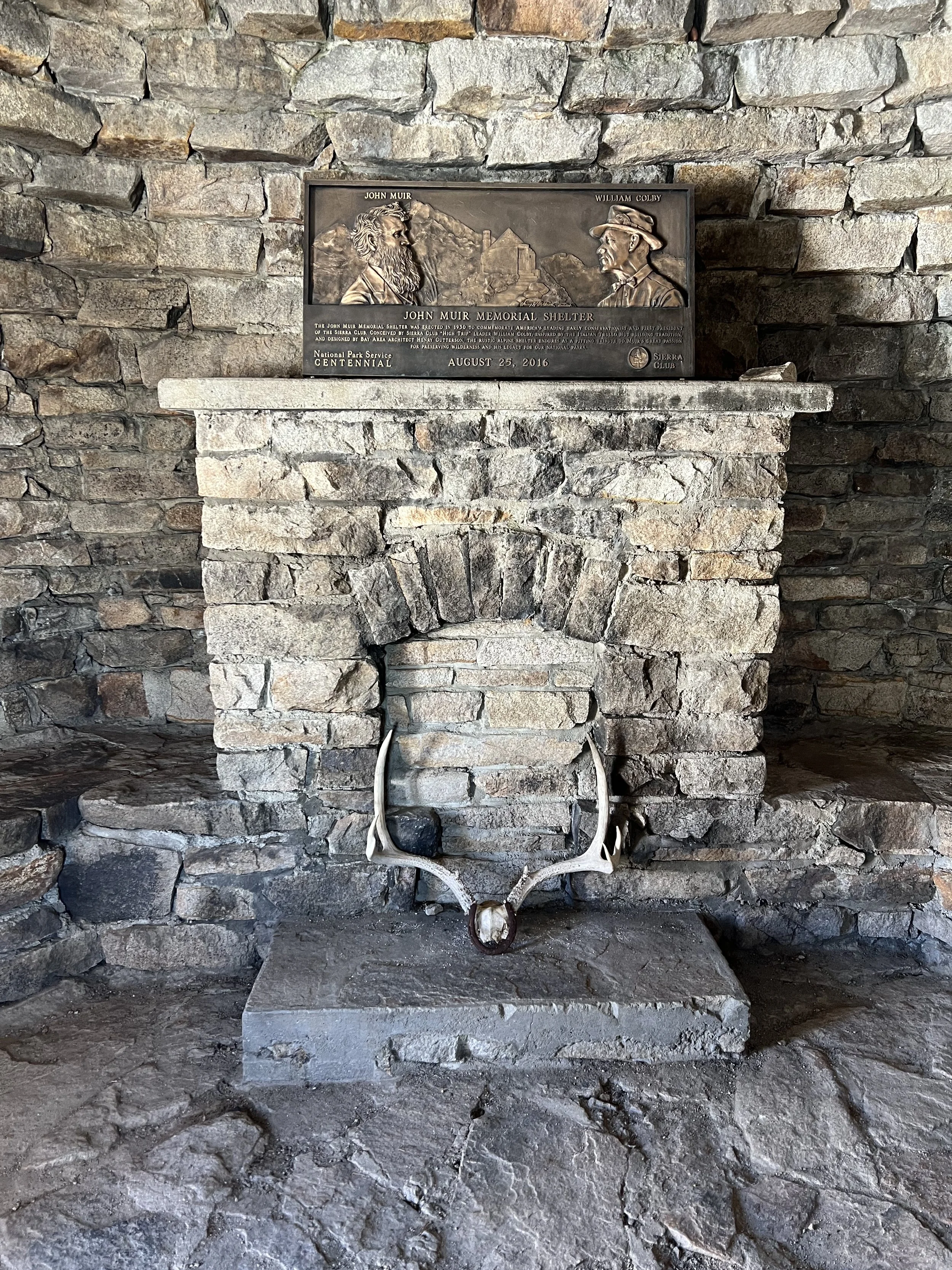
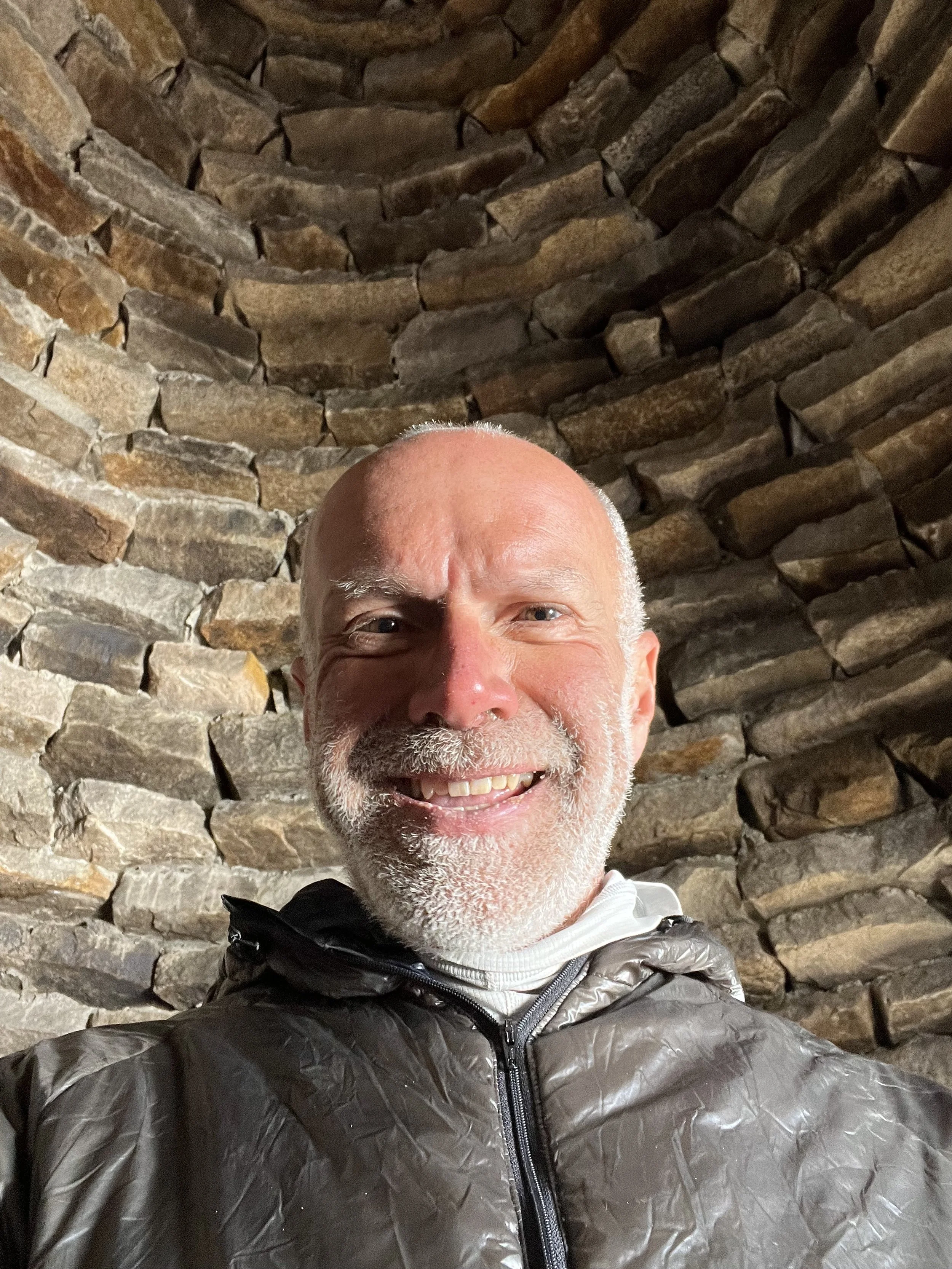
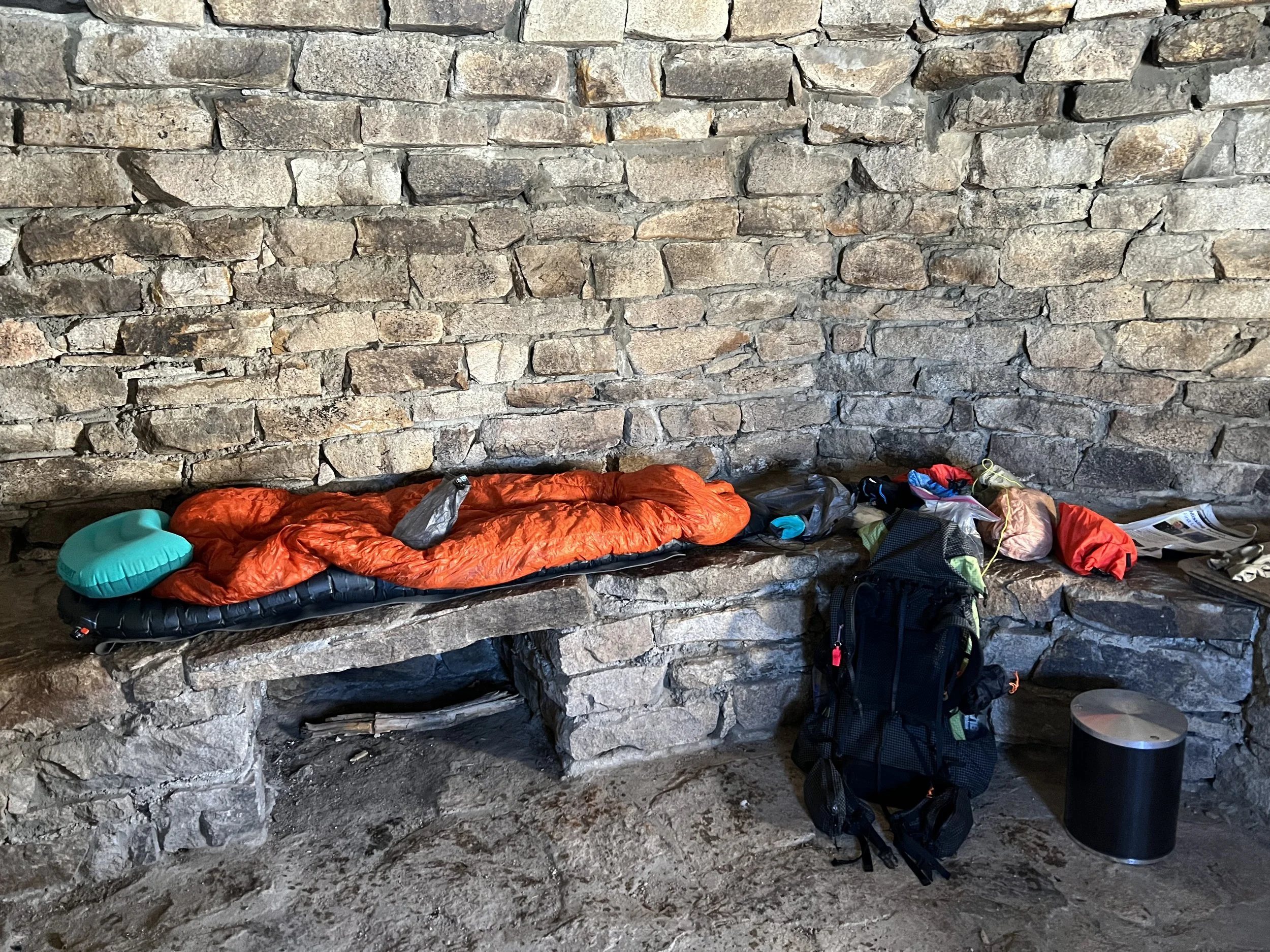
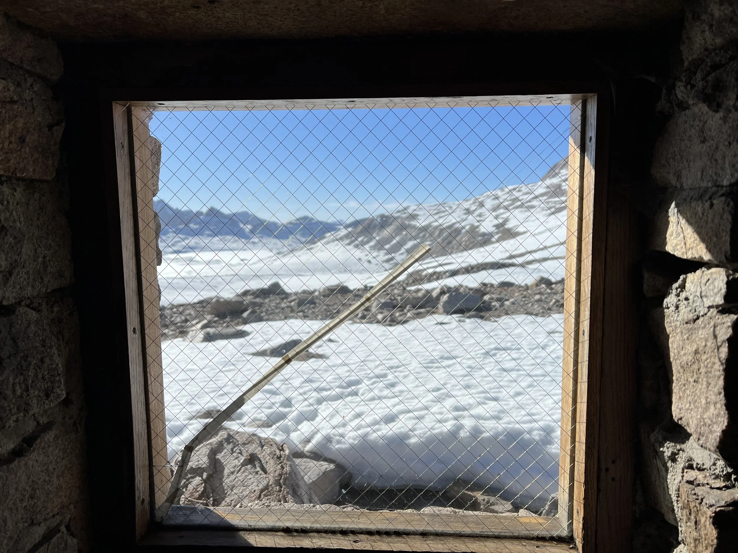
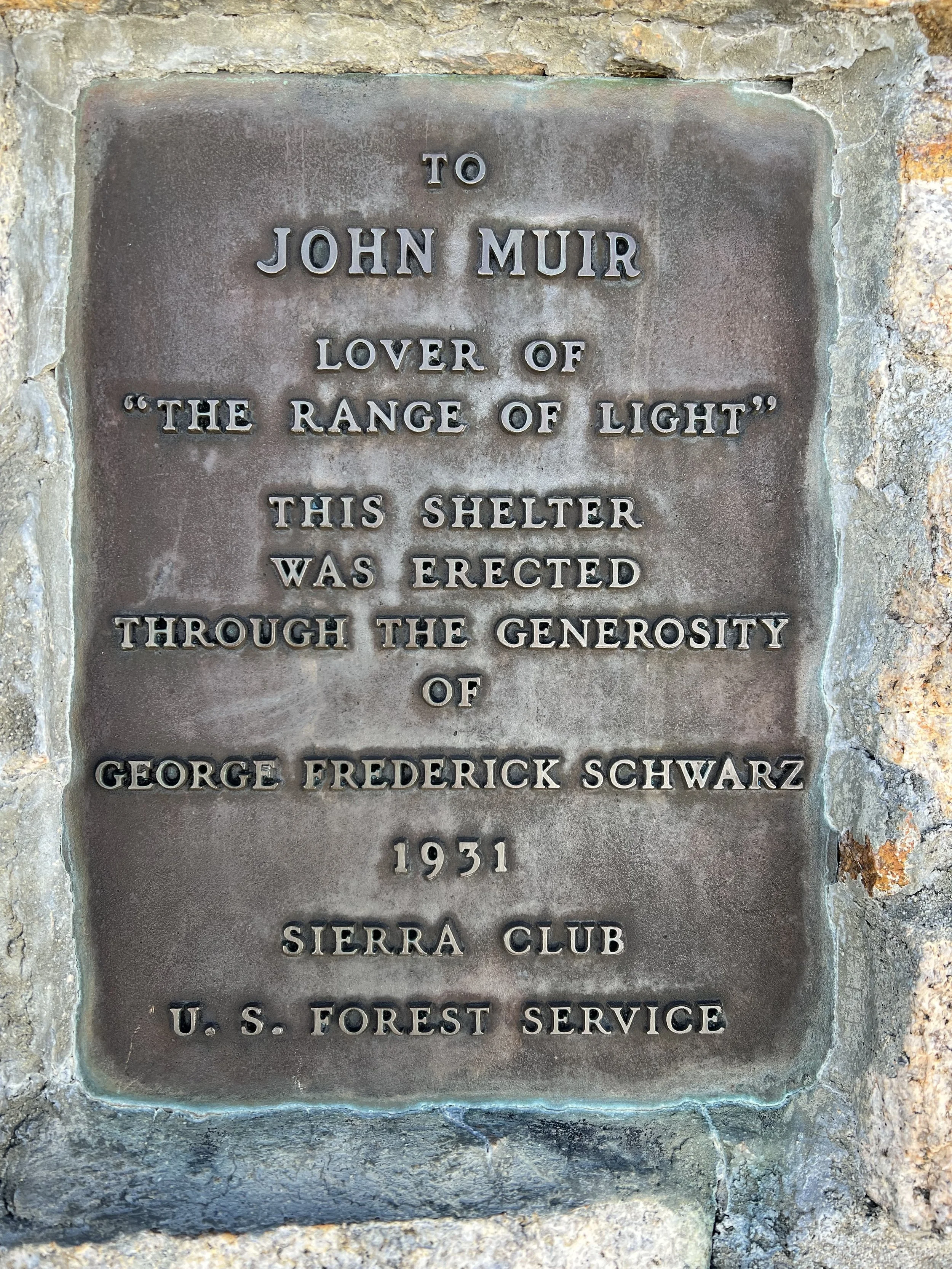
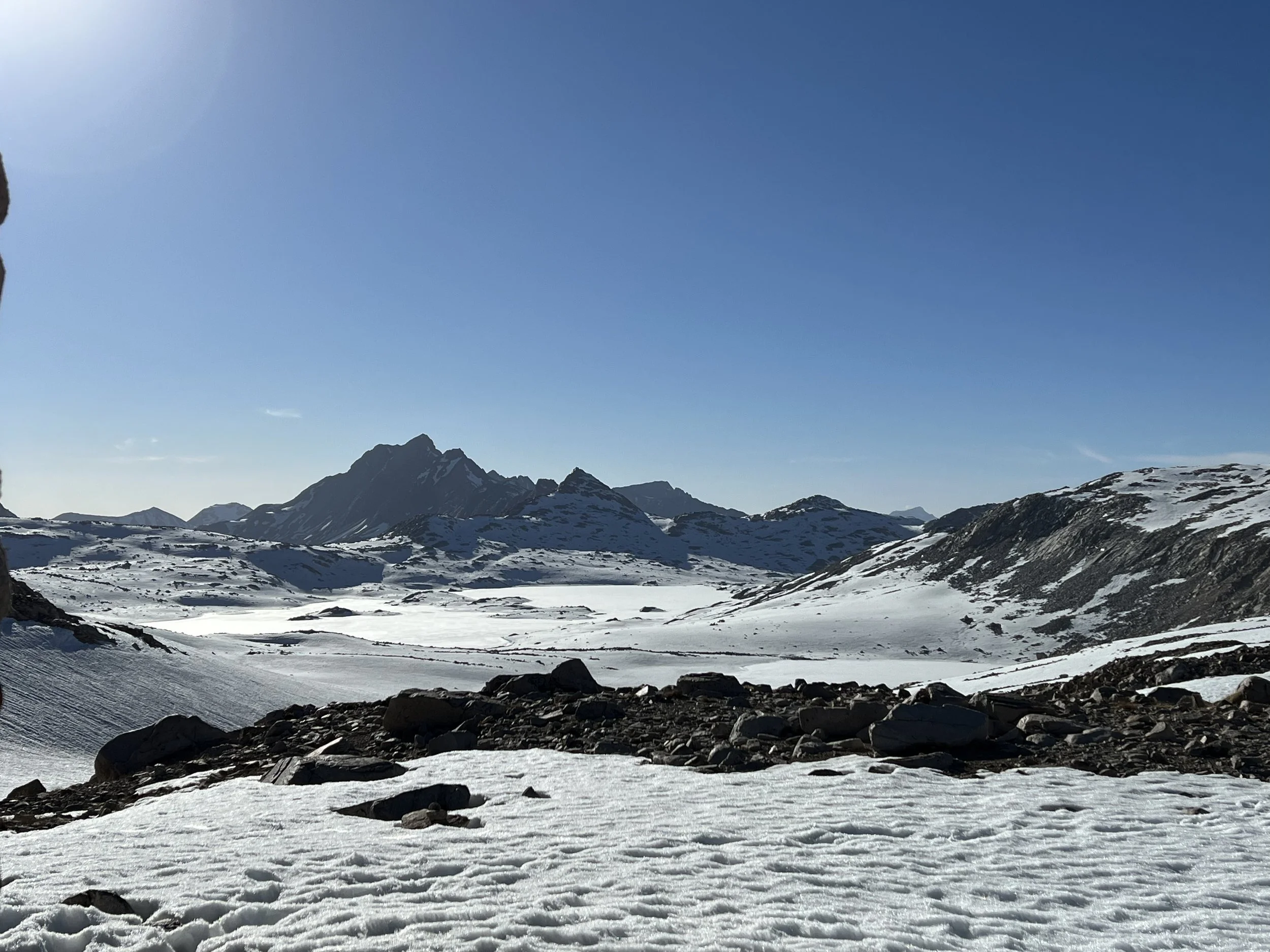
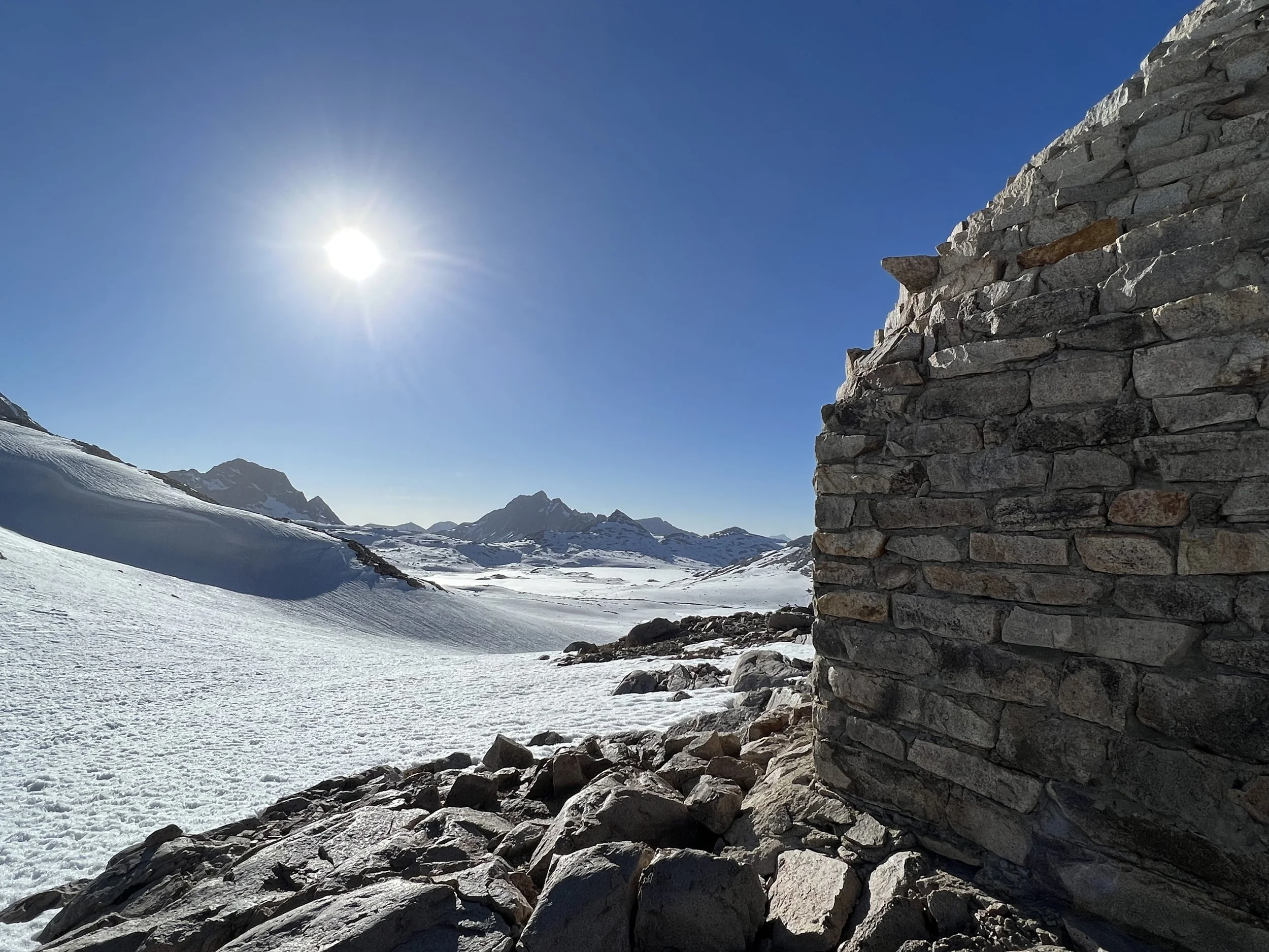
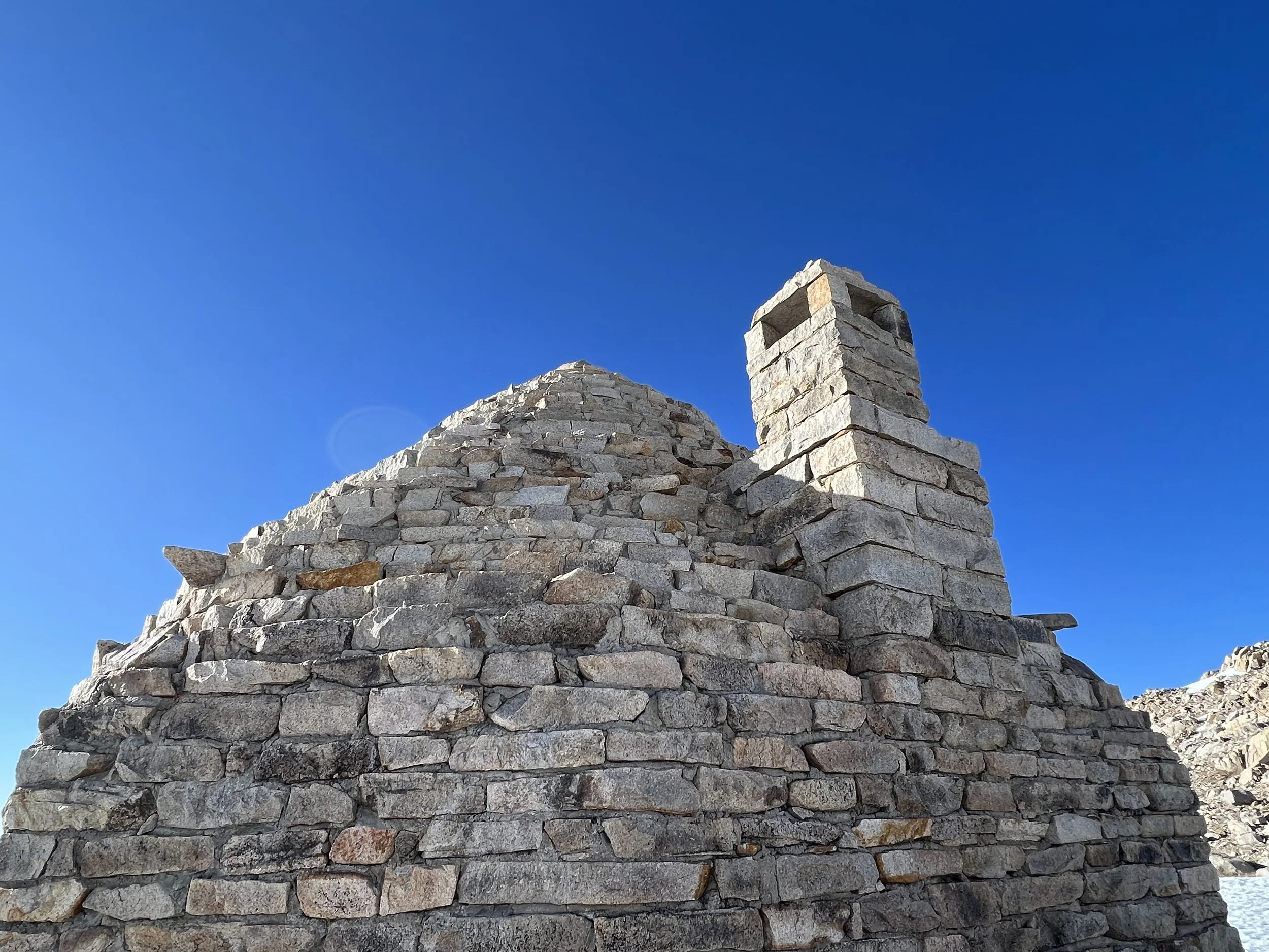
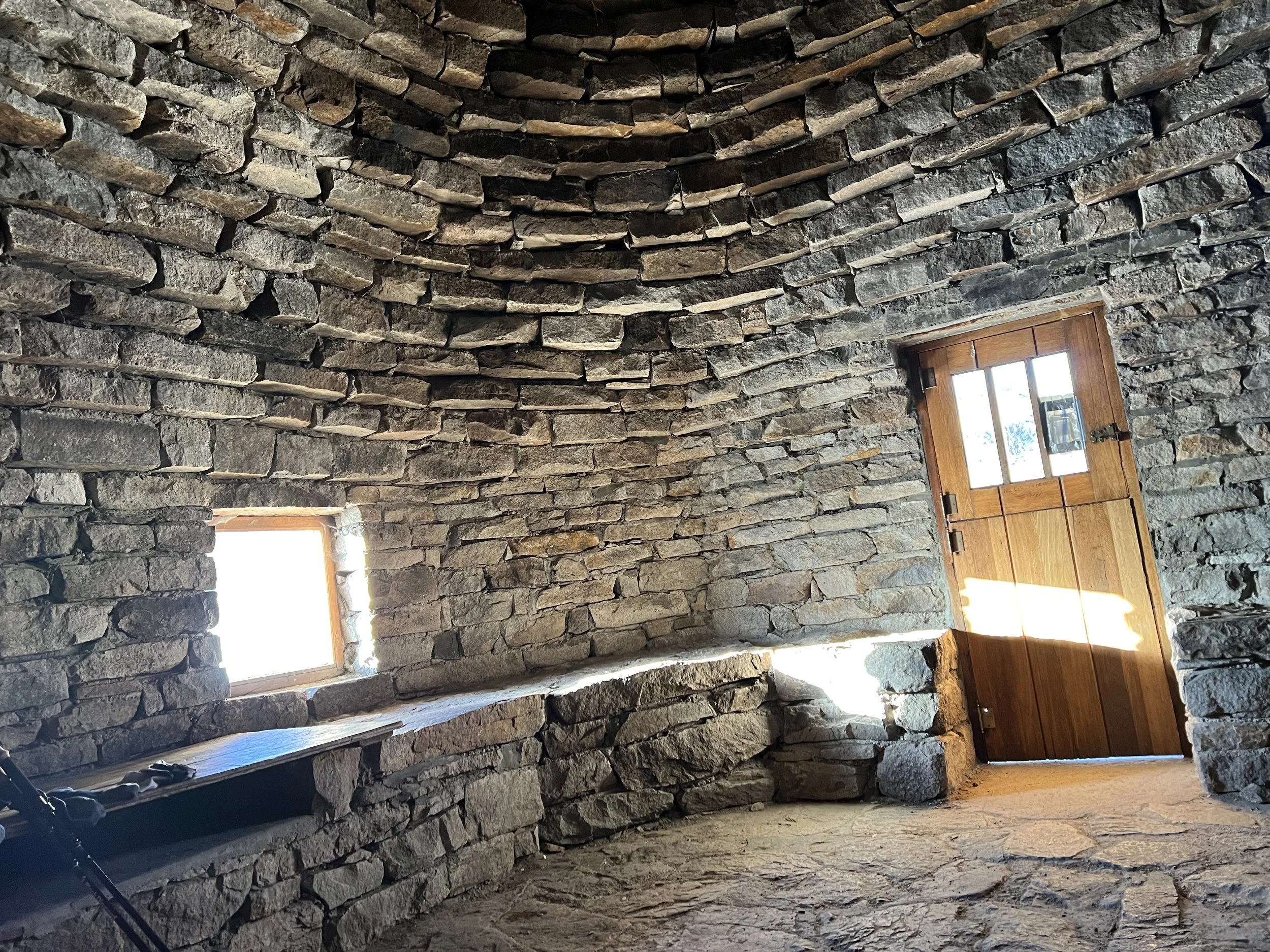
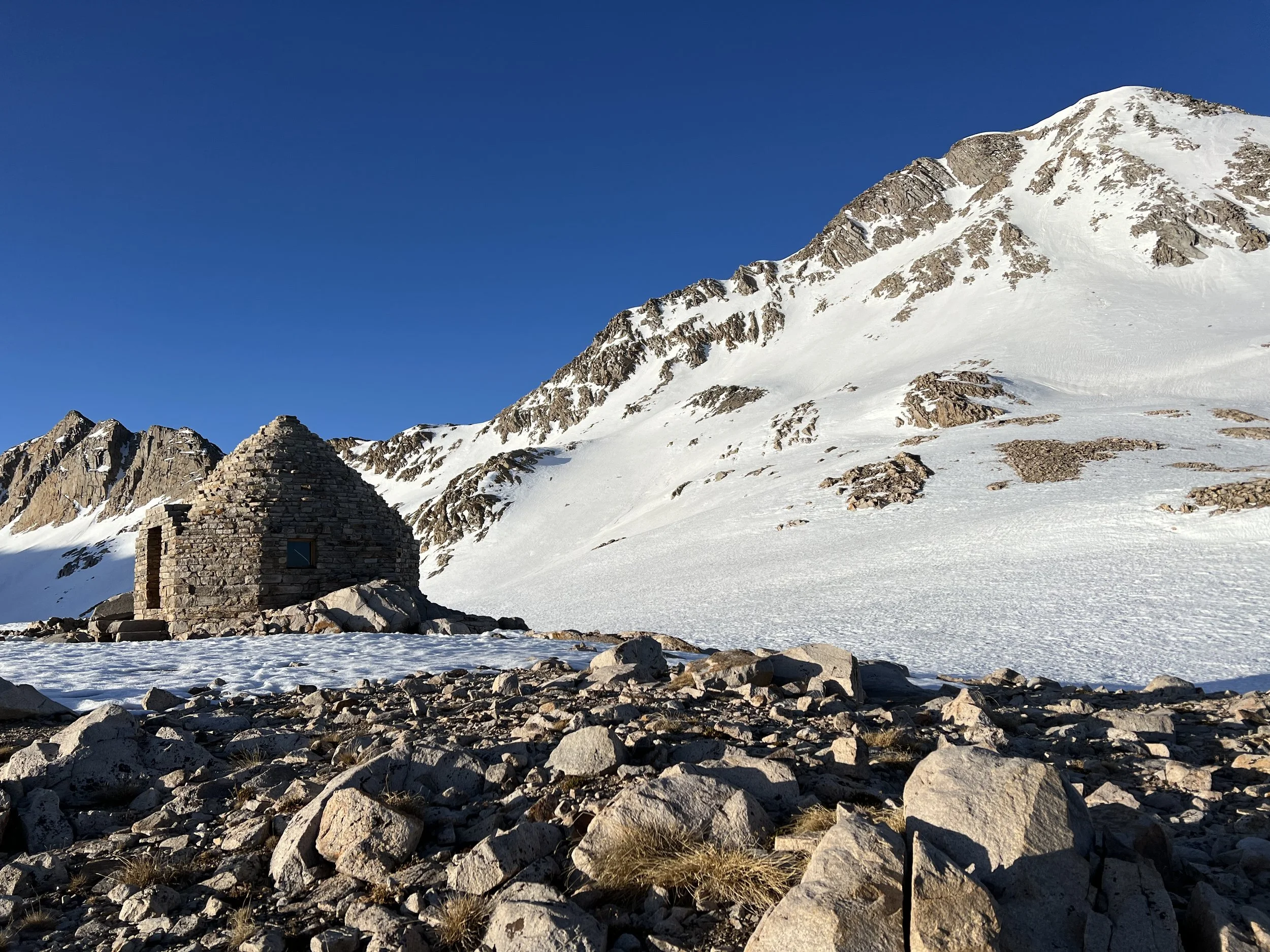
I reached the pass around 5.30pm, soaking wet and exhausted but with enough time descent the 4-5 miles to camp before darkness below the snow. However at the top of Muir Pass there is a shelter built in the 1930s. I’d been there the prior year and my recollection was it was for emergency use only - but there were no signs apart from saying it was a shelter for hikers. The setting is spectacular and the shelter an igloo like hut build of stone blocks, a small window gives a spectacular view and a stone bench runs around the inside of the round stone building. Nobody else had been mad enough to travel over those miles of softening snow in the late afternoon so I was alone. I decided to spend the night in one of the most spectacular places and structures I’ve been to.
The stone building retained the previous day’s heat of the sun well and I awoke well rested, warm and all my gear, including my shoes, had dried out. Leaving early morning the snow was still firm for the descent and I was able to travel quickly and easily over the 4 or 5 miles of snow below the shelter.
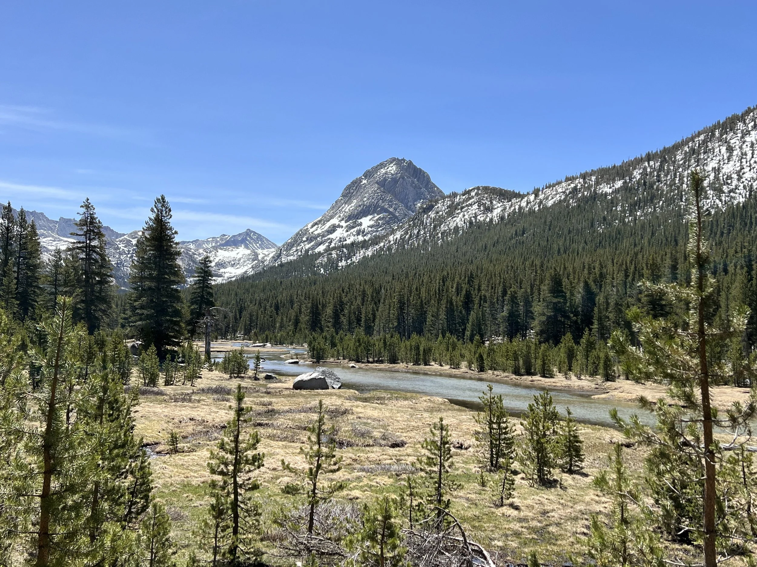
After the decent of Muir Pass the ascent of Selden Pass seemed easy, little snow and a beautiful camp site below the summit.
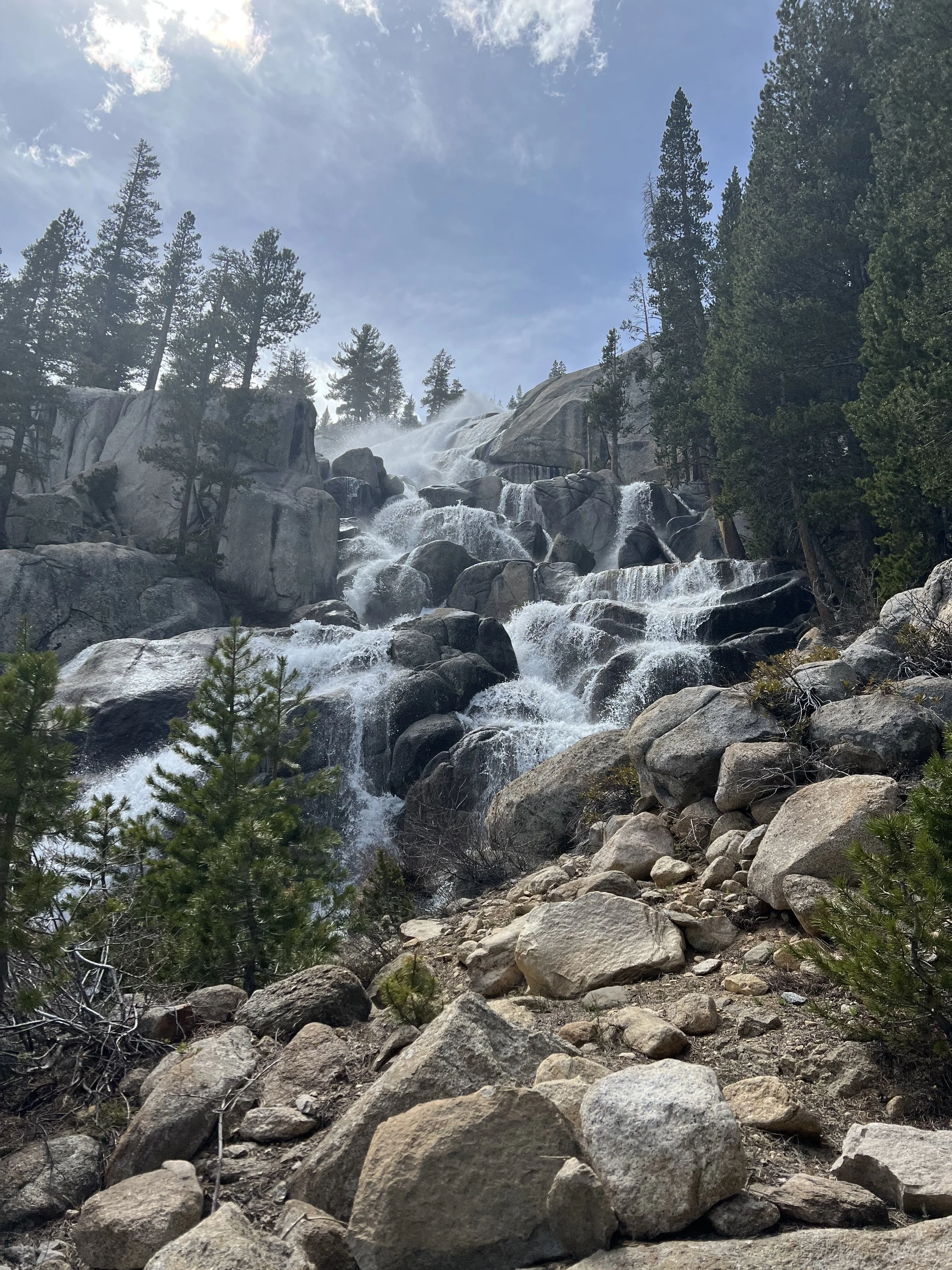
Silver Pass, the final pass for me on this section proved more challenging. Lots of snow, post holing, some serious creek crossings and a long day but all in spectacular scenery.
Passing the 900 mile mark felt like a real achievement and at mile 903 I left the PCT to travel over Mammoth Pass into the town of Mammoth Lakes and my first zeros for over 2 weeks. The 10 miles from the PCT to Mammoth were a mix of trail and rood walking all with amazing views and happy in the knowledge a pizza, salad and large glass of red wine would be waiting once I’d showered and at least cleaned up slightly.

